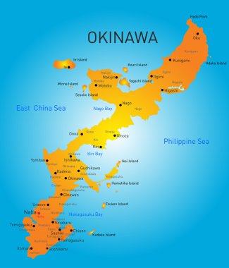
Vector color map of Okinawa, Japan

Detailed vector road map of Japanese island Okinawa, Japan

Blank political map of Japan. Administrative divisions - prefectures. Simple black outline vector map.

Political map of Japan. Administrative divisions - regions. Simple flat blank vector map
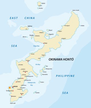
Map of the Japanese archipelago okinawa

Japan country map icon vector illustration graphic design

Line drawing and coloring frame of Japan map. Illustration background material set

Blank map of Japan. Map Prefectures of Japan. High detailed gray vector map State of Japan on transparent background for your web site design, app, UI. Asia. EPS10.

Okinawa Island map. Island silhouette icon. Isolated Okinawa Island black map outline. Vector illustration.

Political map of Korean and Japanese region, South Korea, North Korea and Japan. Black outline map with black labeling on white background. Vector illustration.

Japan map icon vector illustration symbol design
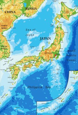
Japan highly detailed physical map,in vector format,with all the relief forms,regions and big cities.
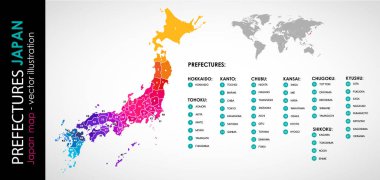
Vector map of Japan and 47 prefectures COLOR

Hokkaido island detailed editable map with regions cities and towns, roads and railways, geographic sites. Vector EPS-10 file

Polygonal map of Okinawa Island. Geometric illustration of the island in emerald amethyst colors. Okinawa Island map in low poly style. Technology, internet, network concept. Vector illustration.

Okinawa Island high detailed map. Island silhouette icon. Isolated Okinawa Island black map outline. Vector illustration.

Okinawa Island map. Blank vector map of the Island. Borders of Okinawa Island for your infographic. Vector illustration.

Vector japan map, simple line illustration.

Okinawa Island map on road sign. Wide poster with Okinawa Island island map on yellow rhomb road sign. Vector illustration.
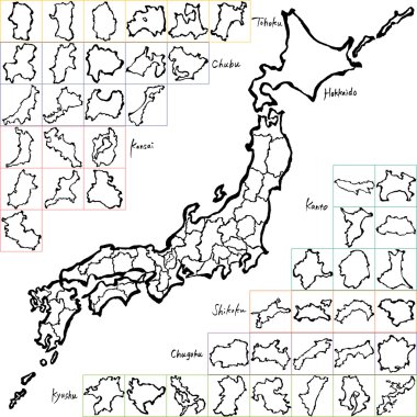
Japan map. Japanese prefectures. handwritten illustration.

Japan political map divide by state colorful outline simplicity style.

Detailed vector map of Japanese island groups Okinawa, Miyako and Yaeyama Islands, Japan

Vector map flag of Japan isolated on white background

Abstract Japan map of radial dots. Vector illustration, eps 10
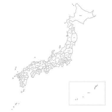
Blank political map of Japan. Administrative divisions - prefectures. Simple black outline vector map.

High Quality map of Okinawa is a prefecture of Japan with borders of the districts

Japan map outline vector isolated on white background.

The detailed map of the Japan with regions.

Miyagi map, Japan, Asia. Filled and outline map designs. Vector illustration

Niigata, Oita, Okayama, Okinawa outline maps

Map of Iriomote-Ishigaki National Park, Okinawa, Japan

Okinawa prefecture blank contour map

Detailed vector map of Japanese island Okinawa

Okinawa prefecture blank outline map set

Black and white maps of japan showing country outline and silhouette

Okinawa city (Japan, Nihon-koku or Nippon-koku, Kyushu region) map vector illustration, scribble sketch Okinawa-shi or Uchinaa map

Road map of Ishigaki Island, Okinawa Prefecture, Japan