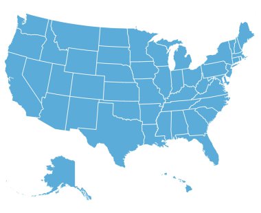
United States of America Vector Map. Cartography collection.

Map of the U.S. state of Oklahoma

Map of the U.S. state of Oklahoma on a white background

Map of the U.S. state of Oklahoma
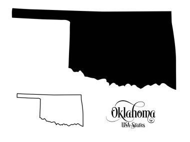
Map of The United States of America (USA) State of Oklahoma - Illustration on White Background.
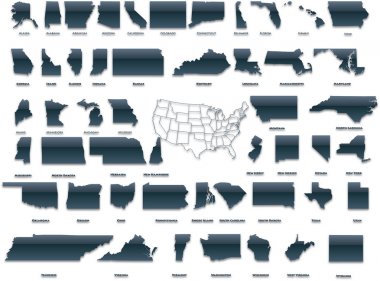
United States of America set in a nice plastic version.
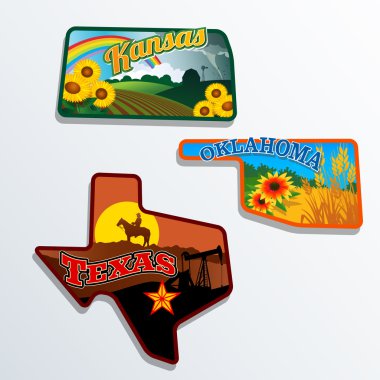
Retro state shape illustrations of Kansas, Oklahoma, and Texas

Map of Oklahoma state designed in illustration with the counties and the county seats

Oklahoma blank outline map set

Dotted LGBT Oklahoma State map versions. Vector geographic schemes in spectrum colors with vertical and horizontal directions on white and blue backgrounds.

Oklahoma state gold label with state map, vector illustration

Oklahoma map with capital city

USA states map with names of cities

Map state of Oklahoma
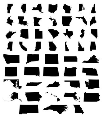
Set of US states maps vector illustration

USA map with magnified Oklahoma State. Oklahoma flag and map.
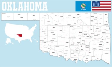
A large and detailed map of the State of Oklahoma with all counties and county seats.

Map of the U.S. state of Oklahoma on a white background. American flag, star

Vector road map of the US state of Texas

Colorful USA map with states and capital cities
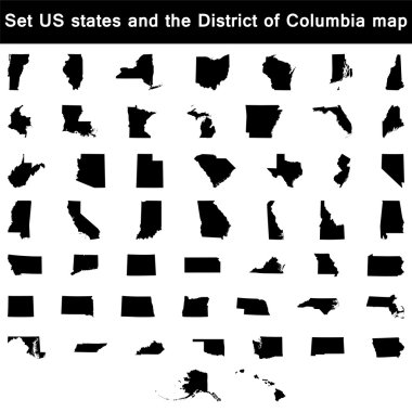
Vector illustration vector illustration set of US states maps

USA map with states
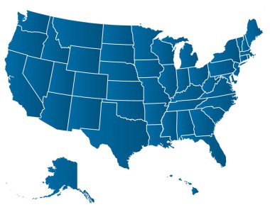
United States of America Vector Map. Cartography collection.
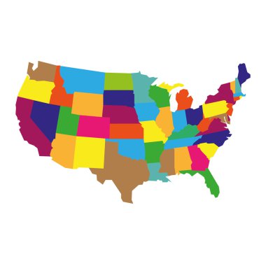
Colorful detailed USA Map, isolatedon white background

Usa vector map with states names

Street map of the US state arkansas

Street map of the US state colorado
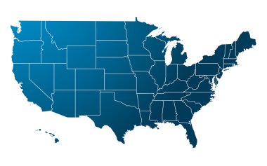
Blue USA map vector

United States map with separated states, flag and geo
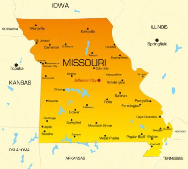
Vector color map of Missouri state. Usa
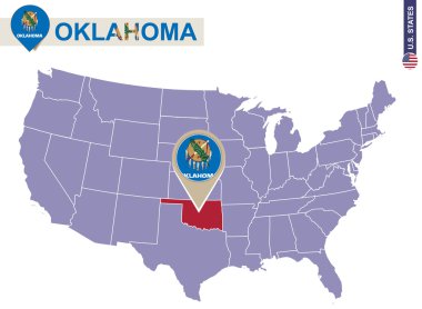
Oklahoma State on USA Map. Oklahoma flag and map. US States.
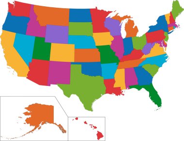
Colorful USA map with states

Oklahoma state outline administrative and political vector map in black and white

Map of the U.S. state of Oklahoma

Oklahoma map on white background. Oklahoma state symbol. outline Oklahoma map sign. flat style.

Map of oklahoma. map concept

Oklahoma state map. US state map. Oklahoma outline symbol. Vector illustration

Oklahoma state map outline vector logo design

Oklahoma icon. Polygonal map of the us state in gradient ring. Round low poly Oklahoma sign. Vector illustration.

Oklahoma retro text t shirt design

Map of Oklahoma

Oklahoma State magnified on United States map. Abstract USA map in blue color. Vector illustration.

USA map, colored square pixels on white background
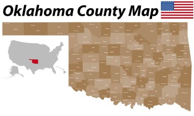
A large and detailed map of the State of Oklahoma with all counties and county seats.

USA 50 States Colorful Map and State Names vector
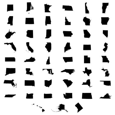
Set of US states map on a white background

USA State Oklahoma flag location map pin icon on white background. Vector Illustration.

Vector illustration of map of Oklahoma in low poly design

Oklahoma state illustration, abstract vector art

Map of the State of Oklahoma and American flag. Map pointer with American flag. illustration.

Grunge rubber stamp set with names of Oklahoma cities, vector illustration

Oklahoma states map shape symbol object of scissor tailed flycatcher buffalo the golden driller America country illustration vector

Map of Oklahoma in blue colour

Oklahoma vintage grunge poster, vector illustration

Vector illustration for travel theme
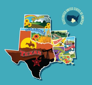
Illustrated pictorial map of south central United States. Includes Kansas, Oklahoma, Texas, Arkansas Louisiana and Mississippi. Vector Illustration.

Accurate map of Oklahoma

North Dakota, Oklahoma travel stickers with scenic attractions and retro text on vintage suitcase background

USA Map word cloud with most important cities

Vintage stamp with text The Sooner State written inside and map of Oklahoma, vector illustration
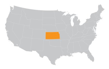
USA map with the indication of The State of Kansas

Set of US states maps vector illustration

Grunge rubber stamp with name and map of Oklahoma, USA

Map of Oklahoma
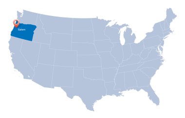
Map of USA with the indication of State of Oregon

Colorful USA map with states, and capital cities

Nice USA map isolated on white background
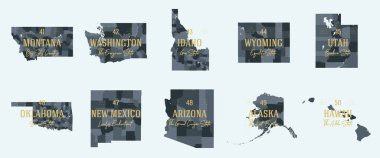
Set 5 of 5 Division United States into counties, political and geographic subdivisions of a states, Highly detailed vector maps with names and territory nicknames
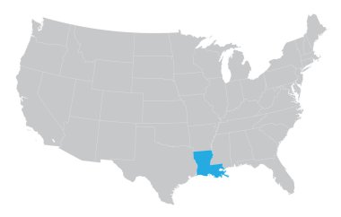
USA map with the indication of the State of Louisiana

Flat hand drawn map composition. Usa States
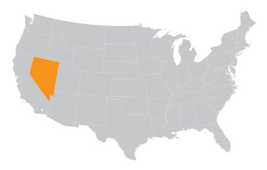
USA map with the indication of State of Nevada
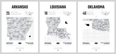
Highly detailed vector silhouettes of US state maps, Division United States into counties, political and geographic subdivisions of a states, West South Central - Arkansas, Louisiana, Oklahoma - set 12 of 17
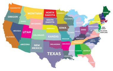
USA map with states

Usa map from dots isolated on the white background

Vector road map of the US state of Oklahoma

Map of USA with name of stateson white background

Oklahoma sketchy us state. Lovely hand drawn us state. Powerful childish style Oklahoma vector illustration.

Colorful map of the Texas region in the USA

Vector map of the Great Plains Region in North America

Road map of the US American State of New Mexico

United States of America. 50 States. Vector illustration

State map. USA silhouette in flat style. Vector isolated outline illusrtation

State of texas political map
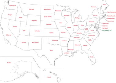
Outline USA map with states
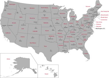
Gray USA map with states and capital cities
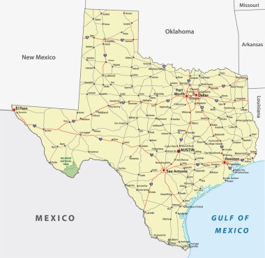
Texas State Interstate and Highway Map
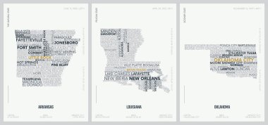
Typography composition of city names, silhouettes maps of the states of America, vector detailed posters, Division West South Central - Arkansas, Louisiana, Oklahoma - set 12 of 17

Set of US states in the map of America on a white background
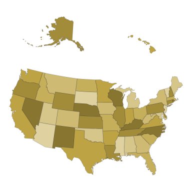
USA map - states separated in the groups - illustration for the web
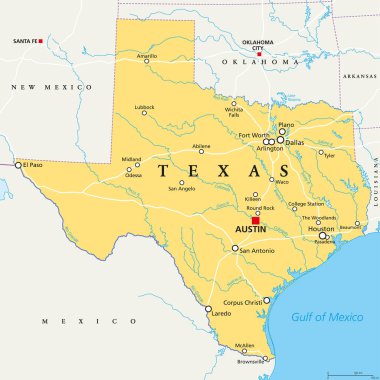
Texas, political map, with capital Austin, borders, important cities, rivers and lakes. State in the South Central region of the United States of America. English labeling. Illustration. Vector.

Highly detailed physical map of the US state of Texas

Map of the Tornado Alley area in the United States

United states of America political map with drop shadow on white background

United states of america map illustration isolated on white background

USA map vector illustration
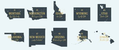
Set 5 of 5 Highly detailed vector silhouettes of USA state maps with names and territory nicknames

USA map with borders and abbreviations for US states. Black color states with white inscriptions. Flat style vector illustration isolated on white background

Vector set 10 of 10 Highly detailed silhouettes of US state maps, divided into counties with names and territory nicknames

USA Map word cloud with most important cities
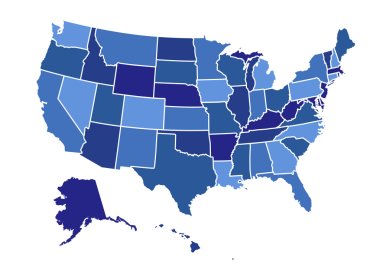
USA map vector illustration art on white background