West european country germany and the federal states

Map of Germany with its federal states. Highly detailed map of Germany with administrative divisions (states), cities and pictogram navigation icons

Sachsen, Sachsen-Anhalt, Schleswig-Holstein, Thuringen outline maps
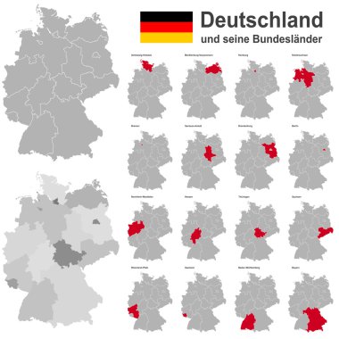
European country germany and the federal states
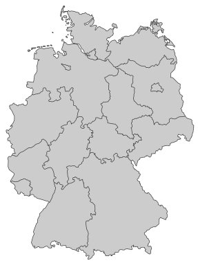
Germany Map - Provinces gray

Highly detailed political map of Germany with its federal states contours, cities and 3D pin pointers collection

Germany map line, linear thin vector. Germany simple map and flag.
West european country germany and the federal states

Highly detailed political map of Germany with administrative divisions(states), cities and navigation icons collection

Administrative and political vector map of Germany, newly revised 2019

Highly detailed map of Germany with with administrative divisions(states), cities and pictogram navigation icons. The url of the reference file is : http://www.lib.utexas.edu/maps/europe/germany.jp

West european country germany and the federal states
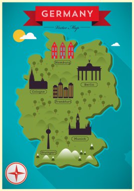
Coloful Map of Germany, Vector Illustration
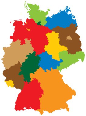
Germany divided into 16 states
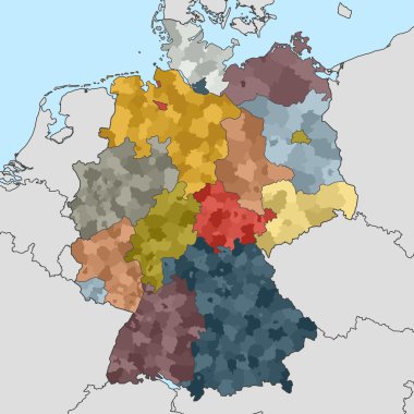
Colored map of Germany with neighboring countries
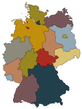
Map of germany with all provinces in different colors
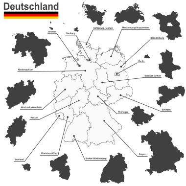
European country germany and the federal states

Location of Saxony-Anhalt on map Federal Republic of Germany. 3d Saxony-Anhalt location sign similar to the flag of Saxony-Anhalt. Quality map of Germany. EPS10.
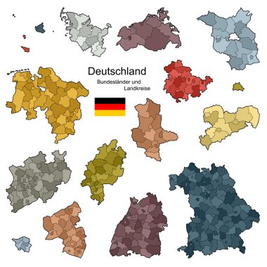
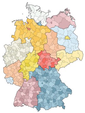
Provinces and districts of Germany
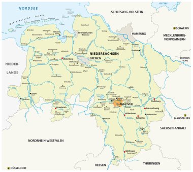
Vector map of the state of Lower Saxony in german language, Germany
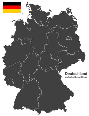
European country germany and the federal states
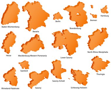
German States Icons

Saxony-Anhalt, Sachen Anhalt state map, Germany, vector map silhouette illustration isolated on Germany map. Editable blank vector map. Province in Germany.

Flag of Saxony-Anhalt from brush strokes. Blank map of Saxony-Anhalt. Germany. High quality map of Saxony-Anhalt and flag for your web site design, app on transparent background. EPS10.

Sachsen-Anhalt state (Germany) outline map set