
MAURITIUS Map with with body and Outline Isolated on white Background

Mauritius country thick black outline silhouette. Simplified map. Vector icon isolated on white background.

Map of Mauritius. Vector illustration

Mauritius country silhouette. High detailed map. White country silhouette with dropped long shadow on beige background.
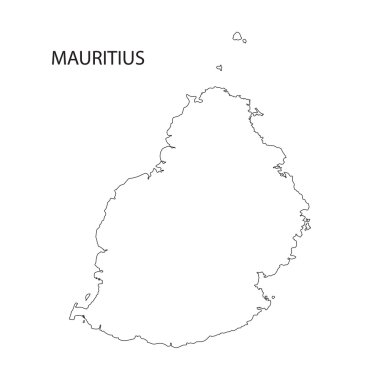
Outline of Mauritius map
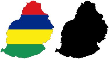
Layered editable vector illustration country map of Mauritius,which contains two versions, colorful country flag version and black silhouette version.

Mauritius Logo. Map of Mauritius with island name and flag. Artistic vector illustration.
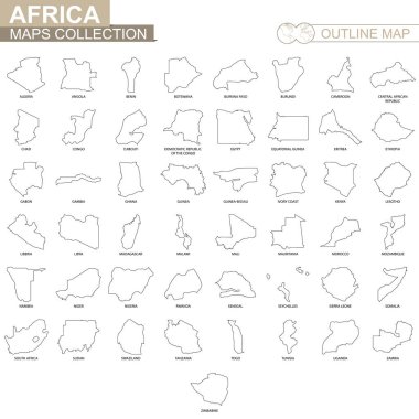
Outline maps of African countries collection, black lined vector map.

Mauritius map with location pointer marks. Infographic vector template, isolated on white background.

Vector map of Mauritius. Country map with division, cities and capital Port Louis. Political map, world map, infographic elements.

Mauritius vector map with infographic elements, pointer marks. Editable template with regions, cities and capital Port Louis.

Mauritius country simplified map. Blue silhouette with thick black contour outline isolated on white background. Simple vector icon

Mauritius map blackboard chalkboard vector

Low poly map of Mauritius. Geometric illustration of the island. Mauritius polygonal map. Technology, internet, network concept. Vector illustration.
Mauritius map. Island silhouette icon. Isolated Mauritius black map outline. Vector illustration.

Mauritius map with flag inside and ribbon

Map of mauritius vector illustration simple design

Mauritius country black outline silhouettes in three different levels of smoothness. Simplified maps. Vector icons isolated on white background.

Map of Mauritius Vector Design Template.

Outline map of Mauritius marked with red line.
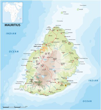
Vektor road map of the island state of Mauritius in the Indian Ocean
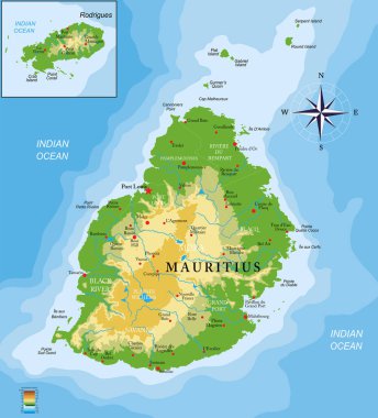
Mauritius islands physical map

3D Map outline and flag of Mauritius, Four horizontal bands of red blue yellow and green. with name text Mauritius.

African country set with map pointers

East africa administrative map with flags

Mauritius vector chalk drawing map isolated on a white background

Mauritius map flag glass card paper 3D vector

Gray Mauritius map on light grey background. Gray Mauritius map - vector illustration.

Outline map of Mauritius. Border is marked with ribbon in national colors. The package contains frames in national colors and stamp with flag.

Mauritius polygonal vector grey dot map
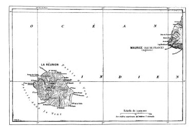
Reunion and Mauritius Map, vintage engraved illustration. Dictionary of words and things - Larive and Fleury - 1895.

Southern africa - vector maps of territories

Vector map Seychelles. Isolated vector Illustration. Black on White background. EPS 10 Illustration.

Vector map Seychelles. Isolated vector Illustration. Black on White background. EPS 10 Illustration.

Map of Mauritius. Vector illustration

Vector map of Mauritius with high details

Vector halftone Dotted map of Mauritius country for your design, Travel Illustration concept.

African country set with map pointers

Colorful map silhouette with shadow - Mauritius

Vector map Seychelles. Isolated vector Illustration. Black on White background. EPS 10 Illustration.

Abstract vector color map of Mauritius with transparent paint effect. For colorful presentation isolated on white.

Map of Mauritius. Vector illustration. World map

Vector map Mauritius. Isolated vector Illustration. Black on White background. EPS 10 Illustration.

African country set with map pointers

Green Map of Mauritius With Outline Vector Design Template. Editable Stroke
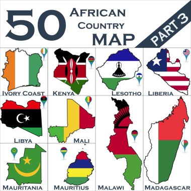
African country set with map pointers

Vector map Mauritius. Isolated vector Illustration. Black on White background. EPS 10 Illustration.

Administrative division of the Republic of Mauritius
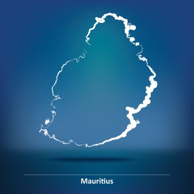
Doodle Map of Mauritius - vector illustration

Outline map of Mauritius marked in flag colors

Flag of Mauritius. An illustration of the Mauritius flag. A rectangular flag. Standard size flag icon.