
Overijssel province blank outline map set
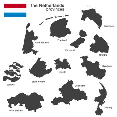
Silhouette of the netherlands and the regions
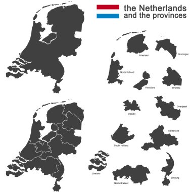
Silhouette of the netherlands and the regions
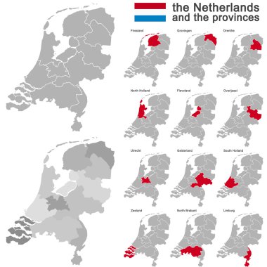
European country the netherlands and all provinces

Colorful political map of Mexico. Administrative divisions - states. Simple flat vector map with labels.
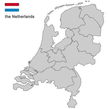
Silhouette of the netherlands and the regions

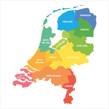
High quality colorful labeled map of Netherlands with borders of the provinces

European country the netherlands and all provinces

Blue political map of Mexico. Administrative divisions - states. Simple flat vector map with labels.
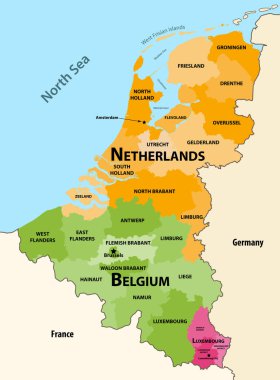
Vector regions map of Benelux countries: Belgium, Netherlands and Luxembourg, with neighbouring countries and territories
Colorful political map of Mexico. Administrative divisions - states. Simple flat vector map with labels.

Colorful political map of Mexico. Administrative divisions - states. Simple flat vector map with labels.
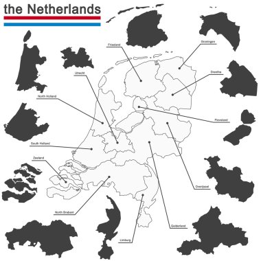
European country the netherlands and all provinces

Location of Overijssel on map Netherlands. 3d location sign similar to the flag of Overijssel. Quality map with provinces of Netherlands for your design. EPS10.

Silhouette of the netherlands and the regions

Overijssel Netherlands map black inverted silhouette illustration

Gelderland, Netherlands. Silhouette map isolated on white background.

Overijssel, Netherlands. Silhouette map isolated on white background.

North Brabant, Netherlands. Silhouette map isolated on white background.

Overijssel province, outline map isolated on white background, Netherlands