
Earth icon, vector design

Illustration of world map with country name
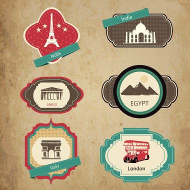
Vintage travel icons. Travel stickers set.

Flags of the world in globe and hand. Vector illustration.

Earth icon, vector illustration
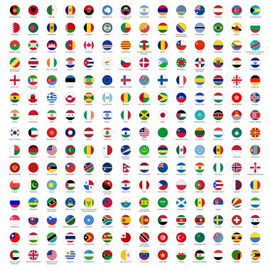
Alphabetically sorted circle flags of the world with official RGB coloring and detailed emblems

Vector Earth and two paper planes on orange background
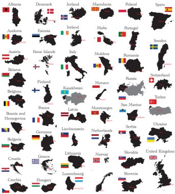
Countries of Europe

Earth background vector illustration

World flags sphere. Vector illustration.

Earth icon, vector illustration
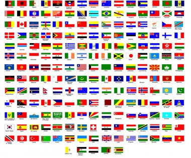
Flags of all countries in the world

Stylized vector globe. Illustration
Set of different countries black maps over grey background, vector illustration

Set of Earth globe icons
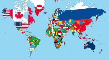
The world map with all states and their flags
Illustration of people against ukrainian and russian flags, negotiation concept
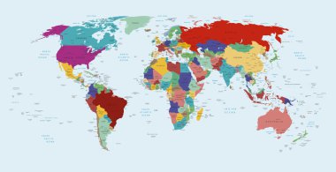
Vector political map of the world
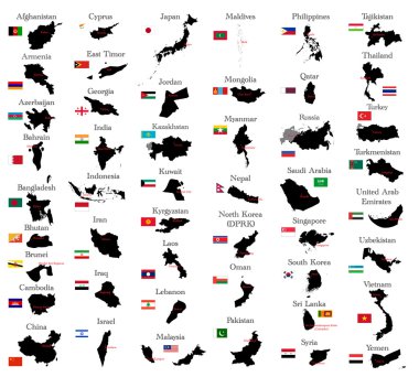
Countries of Asia
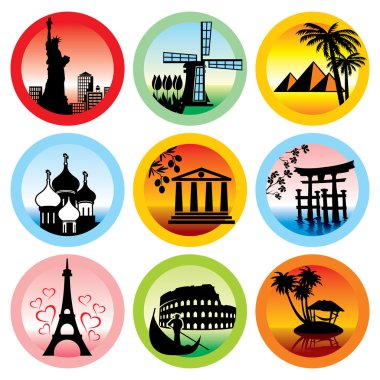
Set of vector icons for travel to various countries
Countries of North and South America
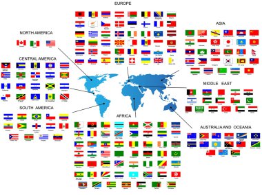
Vector Flags of all countries in by the region of the world
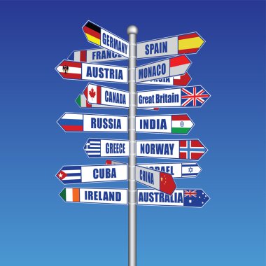
Created with adobe illustrator. It is a vector file scale it to any size.
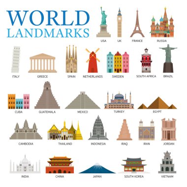
Famous Place and Historical Buildings, Travel and Tourist Attraction
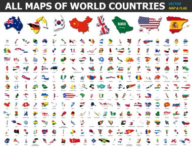
All maps of world countries and flags . Collection of outline shape of international country map with shadow . Flat design . Vector .

World map embossed over blue gradient
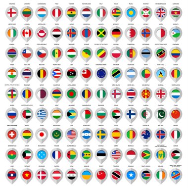
Map gray marker with flags.
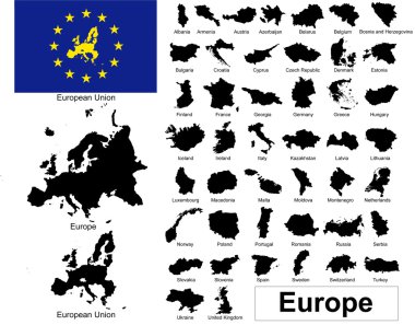
Vectors of european countries, Europe and European Union

Ball with flags of the different countries and continents

Multicultural character on planet earth cultural diversity traditional folk costumes. Different culture standing together holding hands. Unity people from around the world. Vector illustration
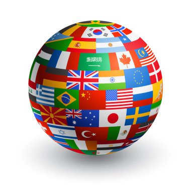
A 3D globe composed by the flags of the most important countries in the world

Collection of world flags around the earth, vector illustration
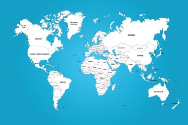
The world map with the frontiers and country names. The vector image has the grouped layers for each country. All of the countries groups ordered by the alphabet.
Background with world flag icons frame vector illustration
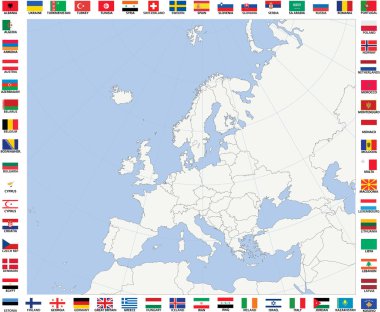
Blank map of Europe with polar stereographic projection
National flags of countries starting with south africa in circular shape with additional shine from top side
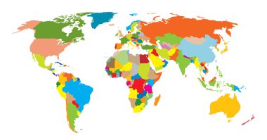
World map. Vector for you design
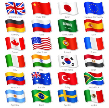
Vector Collection of 24 Top World Countries National Flags, in simulated 3D waving position, with names and grey shadow. Every Flag is isolated on its own layer with proper naming.

Concept of planning vacation or studying languages. Flat design, vector illustration.

Direction to different places traffic sign indicating distances to several well known cities in the world travel concept

Travel the world
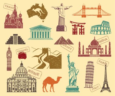
Icons of sights of the various countries of the world in retrostyle
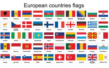
Set of rectangle buttons with European countries flags

Coloured political map of the world vector
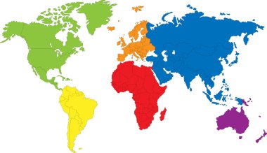
Colored map of the World with countries borders

Vector illustration of Earth web icon.

Circular flags of America in tree design. Vector illustration.
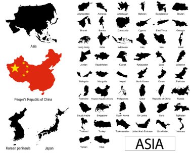
Asian countries vectors
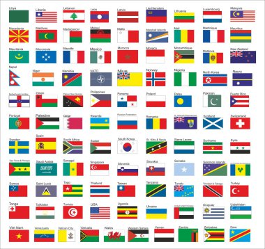
Flags of all countries in the world, part 2

Central America and Carribean states political map in four shades of grey with black country names labels. Simple flat vector illustration.

High detail world map. vector illustration of earth map
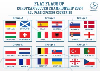
Euro 2024 flat flags of 24 participating countries
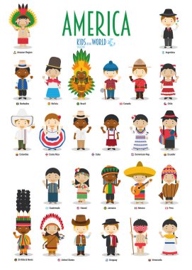
Kids and nationalities of the world vector: America. Set of 25 characters dressed in different national costumes.

Political Physical Topographic Colored World Map Info Graphic - Vector illustration

Map of africa isolated on the white background

Map of North America with main cities in gray

Map of world with main cities in pastel orange

Abstract world map of radial dots. Vector

Abstract world map of dots and lines, network connections

World map vector image isolated on white background. Individual country color editable.
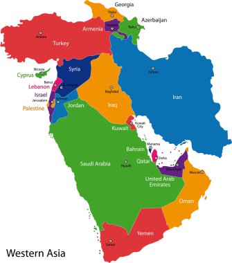
Colorful Western Asia map with countries and capital cities

Color map of Southeastern Asia divided by the countries

Map of Indonesia as an overview map in pastel green

Europe, map. Poster map of the Europe with country names. Print map of Europe for web and polygraphy on business, economic, political, geography themes. Vector Illustration
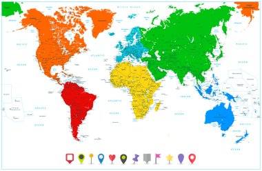
World map with colorful continents and flat map pointers. Highly detailed illustration: countries, cities, navigation icons.
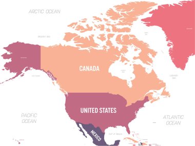
North America map. High detailed political map North American continent with country, ocean and sea names labeling.

Colorful vector map of EU, European Union, member states.

Tourist Attraction, Famous Place and Historical Buildings

World Map - Pacific View - Asia China Center - Political Topographic - Layers - Vector Detailed

Map of Argentina - highly detailed vector illustration
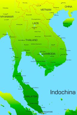
Vector map of Indochina countries

Black Asia map without country borders

High detail world map. vector illustration of earth map
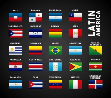
Flags of latin america countries. colorful design. vector illustration

Planet concept represented by earth in form of heart shape icon. isolated and flat illustration

World map - 4 bright color scheme. High detailed political map of World with country, ocean and sea names labeling.

International atlas mosaic done of fireworks star icons. Vector fireworks star icons are united into conceptual continent pattern.
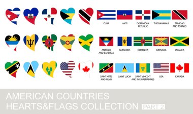
American countries set, hearts and flags, 2 version, part 2

Poland flag and different countries flags with heart flags logo. For Europe, eurovision music song festival, contest. Music songs for vision dreams. Vector euro TV icon pattern.
White map of world with country borders on black background

World map. High detailed political map of World with country, ocean and sea names labeling. 5 colors scheme vector map on white background.

Vector illustration of World Map

World Map - Highly Detailed Vector Map of the World. Ideally for the Print Posters

Beautiful 12 Made in Grunge Stamp Isolated On White Background.

European countries set, hearts and flags, 2 version, part 1

European Union map

High Detailed Political countries World Map. Vector illustration.

3d vector world map illustration.

Vector illustration of post stamp collection of European countries and flags on black background

Dotted blank black world map isolated on white background. World map vector template for website, infographics, design. Flat earth world map with round dots illustration.

Map of South America. Political division - countries and capital ciites. Countries are separate objects, you can change color of every country.

Map of the world silhouette

Glossy flags set. Union European countries. Vector illustration.
White world map isolated on black background, abstract art illustration

Editable map of Europe with all countries. Vector illustration EPS8

Funny cartoon map of Asia with childrens of different nationalities, representative monuments, animals and objects of all the countries. Vector illustration for preschool education and kids design.

World Map - Highly Detailed Vector Map of the World. Ideally for the Print Posters
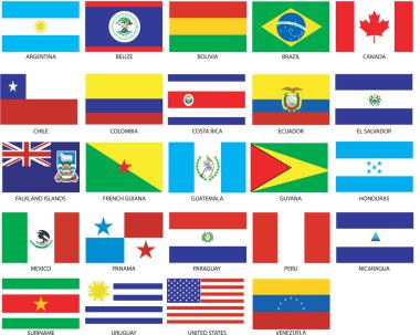
24 of Americas Flags. Vector Illustration of the Flags of different countries of the world. They are organized by location then in alphabetical in order. Dozens

2019 Happy New Year, in shape of World Map typography, word cloud collage concept

World Map Vintage Political - Vector Illustration - Layers