Map of the Republic of Panama with the provinces

Panama blank detailed outline map set

Map of panama. map concept

Panama map vector silhouette illustration isolated on background. Central America state. Panama flag, national symbol.

Panama vector set. Detailed country shape with region borders, flags and icons isolated on white background.

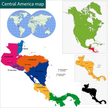
Black Central America map with country borders

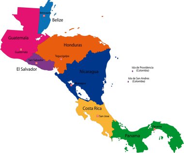
Map of Central America map with country borders

Map of Panama. Vector illustration. World map

Contour Central America map with country borders

Black Panama map with province borders

Green Central America map with country borders

Central America map with country borders

Panama highly detailed vector map with administrative regions, main cities and roads.

Satellite map of Panama city, Panama, city streets. Street map, city center. South America

Vector color map of Panama country

Location of Panama on Central America

Map of the Republic of Panama with the provinces

Map of the Republic of Panama with the provinces

Map of Panama with borders in gray

Gray Central America map with country borders

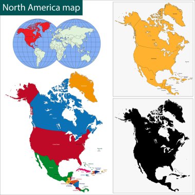
Map of North America with borders with bright colors

Colorful North America map with countries and capital cities

Panama map with province borders

Map of North America with borders as scrible

Map of Central America map with country borders

White chalk texture rubber seal with Republic of Panama map on a green blackboard. Grunge rubber seal with country outlines, vector illustration.

Map of North America with borders with bright colors

Map of North America with borders in pastel green

Map of North America with borders in green

Map of North America with borders in green

North America map with regions. USA, Canada, Mexico maps. Outline North America map isolated on black background.

Panama icon. Trendy tech logo of the country. Geometric mesh round design. Technology, internet, network, telecommunication concept. Vector illustration.

Panama geometric polygonal, mosaic style maps collection. Bright abstract tessellation, low poly style, modern design. Panama polygonal maps for your infographics or presentation.

Panama political map of administrative divisions - provinces. Grey blank vector editable map EPS.

Map of North America with borders with bright colors