
Administrative divisions of Paraguay

Paraguay political map and map pointers isolated on white. Highly detailed vector map illustration. All elements are separated in editable layers clearly labeled.

Infographic for Paraguay, detailed map of Paraguay with flag. Vector Info graphic green map.

Paraguay detailed political road map and map pointers. All elements are separated in editable layers clearly labeled.

Energy industry and ecology of Paraguay vector map with power stations infographic.

World map illustration, vector, Paraguay

Map of the Republic of Paraguay with the departments colored in bright colors and the main cities

South American country set with map pointers

Paraguay Map - Detailed Info Graphic Vector Illustration

South America Highly Detailed Vector Map.All elements are separated in editable layers clearly labeled.

Paraguay vector set. Isolated

Paraguay blank detailed outline map set

South America single states political map. All countries in different colors, with national borders and country names. English labeling and scaling. Illustration on white background.

Outline of Paraguay map

Paraguay map country icon

South America-highly detailed map. Vector illustration

South America map with flags, South America map colored in with their flag. Vector Illustration.
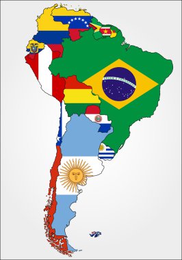
Highly Detailed South America Map With Country Flags.

Network map of Paraguay. Country digital connections map. Technology, internet, network, telecommunication concept. Vector illustration.
Vectors Map of Paraguay Watercolor paint

Map of Paraguay. Low poly illustration of the country. Geometric design with stripes. Technology, internet, network concept. Vector illustration.

Vintage Amazing Paraguay travel stamp with map outline. Paraguay travel grunge round sticker.

Outline maps of the countries in North and South America continent , vector illustration

High detailed flag of Paraguay. National Paraguay flag. South America. 3D illustration.

Paraguay icon. Shape of the country with Paraguay flag. Round sign with flag colors gradient ring. Radiant vector illustration.

North and South America map - highly detailed vector illustration.

Paraguay - solid black outline border map of country area. Simple flat vector illustration.
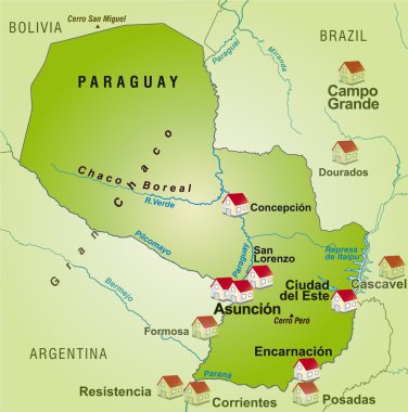
Map of Paraguay as an infographic in green

South American political map set with map pointers
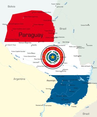
Abstract vector color map of Paraguay country colored by national flag

Map of South America with indication of Paraguay

Paraguay map card paper 3D natural, high detailed vector

Location of Paraguay on the South America continent

Paraguay air travel abstract background. Vector illustration.

Folded paper map of Paraguay with flag pin of Paraguay. Vector Illustration

Paraguay, map and flag - High Detailed Vector Illustration

Paraguay map outline - smooth simplified country shape map vector.

Paraguay map glass card paper 3D vect

South American country set with map pointers

South American country set with map pointers

Simple set of panama map, uruguay map, norway map, turkey map icons, contains such as icons czech eepublic finland syria paraguay map and more. 64x64 pixel perfect. editable vector set

The illustration of Paraguay map with national flag. Vector Image.
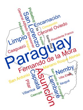
Paraguay map and words cloud with larger cities

Map with highlighted Paraguay map and flag

Administrative divisions of Paraguay

Administrative divisions of Paraguay

Bright vector cannabis Paraguay map mosaic on a black background. Concept with bright weed leaves for cannabis legalize campaign. Vector Paraguay map is designed from weed leaves.

Paraguay Map Pin with National Flag on Open World Map.

Flag of paraguay. Flag icon. Standard colors. Standard size. Rectangular flag.

Isometric Map of Paraguay. Simple 3D Map. Vector Illustration - EPS 10 Vector

Paraguay flag and map set. paraguay flag in official colors and proportions., map

Paraguay Location Highlighted on American Map with Flag Icon.

Ganja Paraguay map collage of marijuana leaves. Narcotic distribution concept. Vector Paraguay map is created of green ganja leaves. Abstract geographic plan in green color variations.

Paraguay flag and map set. paraguay flag in official colors and proportions. independence day 15 may , map, circle and heart paraguay

Map of Paraguay with borders in violet
Paraguay round flag icon with shadow.
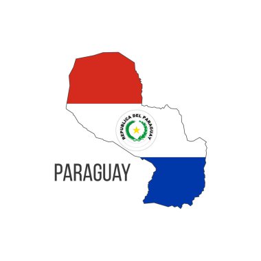
Paraguay flag map. The flag of the country in the form of borders. Stock vector illustration

Map of Paraguay

Map Latin America. Poster map of Latin America. Black and white print map of Latin America for t-shirt, poster or geographic themes. Hand-drawn graphic map with countries. Vector Illustration

Detailed political and road map of Paraguay with capital Asuncion, national borders, most important cities, rivers and lakes. http://www.vidiani.com/large-detailed-political-and-regions-map-of-paraguay/
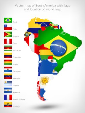
Vector map of South America with flags and location on world map

Flat treasure map of Paraguay. Colorful cartoon with icons of ship, jolly roger, treasure chest and banner ribbon. Flat design vector illustration.

Paraguayan pin icon wavy flag. Vector illustration.

Paraguayan flag rounded ribbon abstract background. Vector illustration.

Paraguay on blue world map .I love to travel.
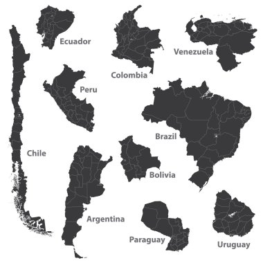
Vector maps of south american countries

Vintage America map with country inscription united states, canada, mexico, brasil, peru, argentina drawing on dirty paper background

Flags in the form of states with shadows
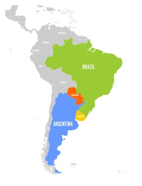
Map of MERCOSUR countires. South american trade association. Highlighted member states Brazil, Paraguay, Uruguay and Argetina. Since December 2016.

Map of South America. Political division - countries and capital ciites. Countries are separate objects, you can change color of every country.

Hand drawn vector map of South America with flags. Elements different layers. Perfect for infographics. Includes Brazil, Argentina, Chile, Paraguay, Uruguay, Colombia, Venezuela, Peru, Ecuador.

Map of the most important wine-growing areas in Argentina
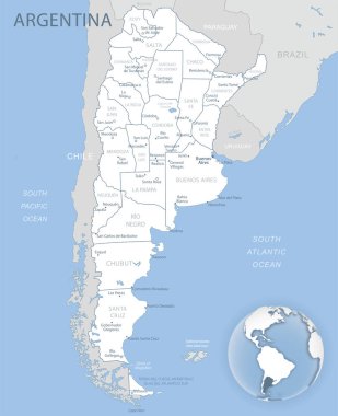
Blue-gray detailed map of Argentina administrative divisions and location on the globe. Vector illustration

Illustration of a gray South america map on white background
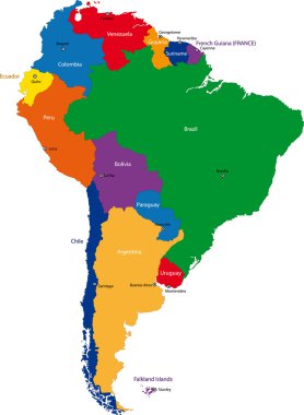
Colorful South America map with countries and capital cities
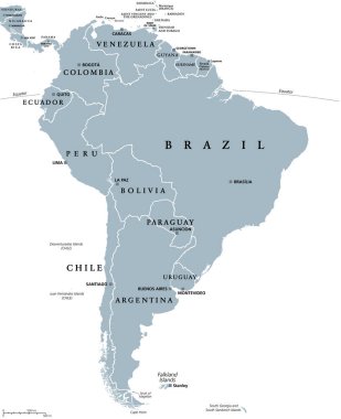
South America, gray political map with international borders and capitals. A continent, bordered by the Pacific and Atlantic Ocean, North America and the Caribbean Sea. Isolated illustration. Vector.

Chile map, black and white detailed outline regions of the country. Vector illustration

Paraguay Map - High Detailed Vector Illustration

South America political division map - vector illustration.

Map of south america. map concept south america vector sketch

Map of South America in high resolution. Vector illustration.
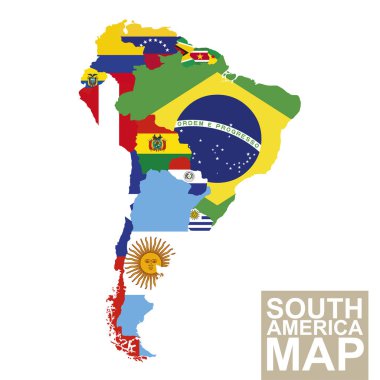
South America map. Vector map of South America with flags. Vector Illustration.

Blank political map of South America. Simple flat vector outline map.

Color and black and white detailed map of South America with country silhouettes and flags

South America countries political map with national borders. Continent surrounded by Pacific and Atlantic Ocean. English labeling. Illustration.
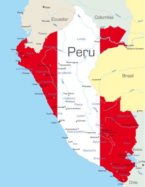
Abstract vector color map of Peru country colored by national flag

Highly Detailed South America Blind Map With Capital Dots.

The illustration of South America map with country borders. Vector Image.

Vector color map of South America
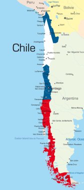
Abstract vector color map of Chile country colored by national flag

Abstract vector color map of Argentina country

Political map of South America. Vector illustration.

Paraguay Map - High Detailed Vector Illustration

South American flag set in alphabetical order, with an editable map.

Paraguay network map. Abstract polygonal map design. Internet connections vector illustration.

Political map of South America. Simple flat vector map with country name labels in grey.

Vector highly detailed political map of Latin America and their capitals. All elements are separated in editable layers clearly labeled. EPS 10

Highly Detailed South America Blind Map.
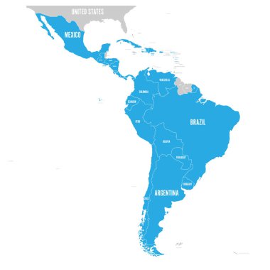
Political map of Latin America. Latin american states blue highlighted in the map of South America, Central America and Caribbean. Vector illustration.

Vector map of South America Continent with Countries, Capitals, Main Cities and Seas and islands names in brilliant colors.