Parana blank outline map set on white

Parana blank detailed vector outline map set

A map of the Sao Paulo state region in the Brazil southeast and some of the main cities. Grayscale map.

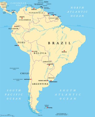
South America, political map with borders, capitals and the largest rivers. A continent, bordered by the Pacific and the Atlantic Ocean, by North America and the Caribbean Sea. Illustration. Vector.

Colorful map of the Brazil south region isolated on white background

Illustration of a map of Brazil with the south region highlighted

Map of the south region of Brazil with the identified states

Vector illustration of administrative division map of Brazil. Vector map.