
Republic of Poland isolated map and official flag icons. vector Polish political map thin line icon. European country geographic banner template
Abstract map and flag of Poland

Republic of Poland isolated map and official flag icons. vector Polish political maps icons. Central Europe country geographic banner template

Poland blank detailed outline map set

Europe on football 2012, background with Ukraine and Poland maps, vector
Poland Flag Map. Map of the Republic of Poland with the Polish country banner. Vector Illustration.
Vector illustration of maps of Poland
Woodcut Illustration of Map of Poland

Blue geometric map of Poland

Poland Political Map - Detailed map of Poland vector illustration.

Maps of European Countries on white, vector illustration

European countries set, maps and flags, part 1

Poland Map and Colored Icons - Detailed map of Poland vector illustration.

Europe brussels regions card map vector silhouette on White background created in Adobe Illustrator.

Poland Map and Flag - Administrative Map (voivodeships) - Detailed map of Poland vector illustration - All elements are separated in editable layers clearly labeled.

Poland Political Map Isolated on white - Detailed map of Poland vector illustration.

Black Map of Poland - Detailed map of Poland vector illustration - All elements are separated in editable layers clearly labeled.
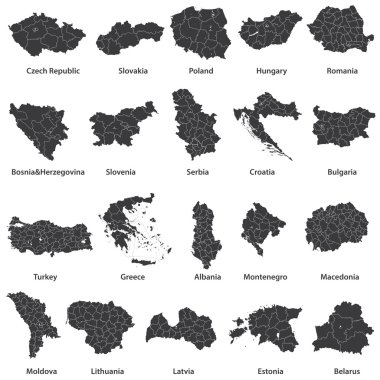
Vector maps of european countries

Poland Map Isolated on white - Detailed map of Poland vector illustration.
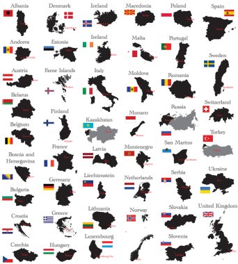
Countries of Europe

Poland Detail Administrative Map and roads - Detailed map of Poland vector illustration.
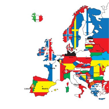
Card of Europe in the form of flags on a white background.Vector illustration
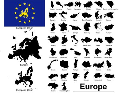
Vectors of european countries, Europe and European Union

Poland Physical Map Retro Colors - Detailed map of Poland vector illustration - All elements are separated in editable layers clearly labeled.
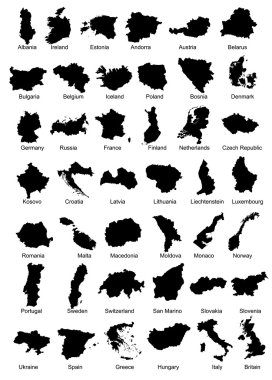
Layered vector illustration of 42 Europe Country Maps.
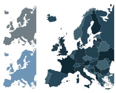
Set of Europe vector highly detailed maps
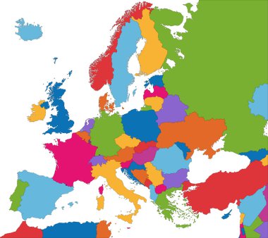
Colorful Europe map with country borders
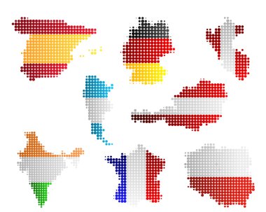
Maps and flags
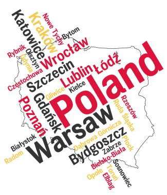
Poland map and words cloud with larger cities

Downtown vector map of Warsaw, Poland. This printable map of Warsaw contains lines and classic colored shapes for land mass, parks, water, major and minor roads as such as major rail tracks.

Outline maps of European countries collection, black lined vector map.

Map of Gdansk, satellite view, black and white map. Street directory and city map. Poland

Europe map combined with country flags. All elements separated in detachable layers. Vector

Outline maps collection, black lined vector map.

Grunge map and flag of Poland on a brick wall, Map of the Poland with flag inside, Poland map painted on brick wall, Abstract grunge Polish flag in brick style

Map flag Poland

Vector map Poland. Isolated vector Illustration. Black on White background. EPS 10 Illustration.

Republic of Poland isolated maps and official flag icon. vector Polish political map icons with general information. European country geographic banner template

Collection of maps and flags of the European union countries - Illustration,Mosaic map with flag inside, Flags all European union countries vector image
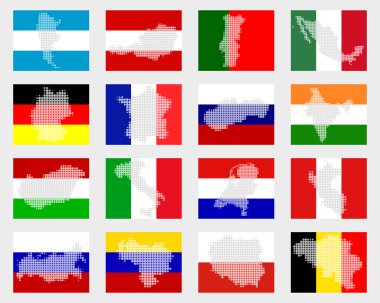
Set of flags with maps

Orange button with the image maps of Poland in the form of national flag

Poland map cover vector

Republic of Poland isolated map and official flag icons. vector Polish political map 3d illustration. European country geographic banner template

Downtown vector map of Krakow, Poland. This printable map of Krakow contains lines and classic colored shapes for land mass, parks, water, major and minor roads as such as major rail tracks.

Poland

All Europe countries maps mixed with flags

Vector illustration of Baltic countries-Lithuania,Latvia,Estonia,Poland-maps with flags

The European Union map in polygonal style. Vector illustration

Poland explore maps country nation with isometric style and pin location tag on top vector illustration

Republic of Poland isolated map and official flag icons. vector Polish political map illustration. European country geographic logo

Europe Silver Global World - Elements of this image furnished by NASA the base map of the Globe is Hand Drawn using the pen tool with a tablet pen for maximum detail

Vector map Poland. Isolated vector Illustration. Black on White background. EPS 10 Illustration.

Vector maps of Poland

Red map of Poland in origami style

Eastern europe - vector maps of territories

Vector Map Icon of the World Globe

European country set with map pointers

Vector map West Pomeranian Voivodeship (Poland) combined with United Nations Childrens Fund (UNICEF) flag.

Poland Physical Map Retro Colors. No text - Detailed map of Poland vector illustration - All elements are separated in editable layers clearly labeled.

Maps of poland and ukraine with a football in front, european football championship 2012, eps8 vector

North Pole Europe Top of the World

Set of Isometric map with soccer field. Maps of Football competition sorted by group. Vector collection.

Middle East, Russia, Europe, and Africa, Global World

Maps of poland and ukraine with a football in front, european football championship 2012, eps8 vector
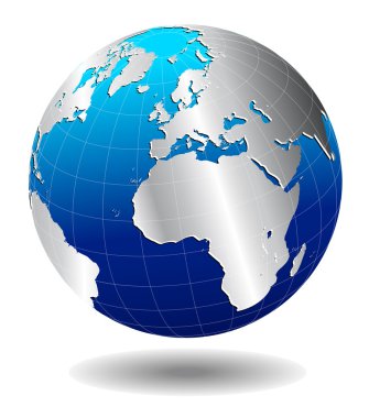
- The base map is from NASA and Hand Drawn using the pen tool for maximum detail

Poland Map and Flat Map Icons - Detailed map of Poland vector illustration.

Vector Map Icon of the World Globe

Poland Map Vintage Color - Detailed map of Poland vector illustration.

Poland Detail Map White Color - Detailed map of Poland vector illustration.

Communication across the world with light lines

Middle East, Russia, Europe, and Africa, Global World

Europe and Africa, Global World

Simple black maps all european union countries collection seamless pattern eps10

Vector Map Icon of the world in Globe form

North Pole, Europe Top of the World Global World, Globe Icon 3D illustration, Glossy, Shiny Sphere with Global Map in Subtle Blues giving a transparent feel

Vector Map Icon of the world in Globe form

Europe, Russia and Africa, Global World

Vector Map Icon of the world in Globe form

Retro Style Europe and Africa, Global World, Elements of this image furnished by NASA

Poland Political Map and Flat Map Icons - Detailed map of Poland vector illustration.

Europe Middle East Global World

Various maps of different country seamless pattern eps10

All European countries maps with flags

Europe, Russia and Africa, Global World

Flags of the European Union EU flag on a background with the outline maps

North Pole Europe Top of the World

Lubelskie province blank outline map set

Malopolskie province blank outline map set

Warminsko-Mazurskie province blank outline map set

Wielkopolskie province blank outline map set

Opolskie province blank outline map set

Podlaskie province blank outline map set

Zachodniopomorskie province blank outline map set

Lubuskie province blank outline map set

Slaskie province blank outline map set

Kujawsko-Pomorskie province blank outline map set

Pomorskie province blank outline map set

Swietokrzyskie province blank outline map set

Mazowieckie province blank outline map set

Podkarpackie province blank outline map set