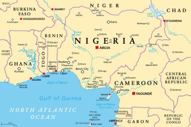
Nigeria and West Africa countries on the Gulf of Guinea, political map. Ghana, Togo, Benin, Nigeria, Cameroon, Equatorial Guinea, and Sao Tome And Principe, with borders, capitals and largest cities.

Stylised passport stamps of Nigeria in vector format.

Vector road map of the West African state of Nigeria

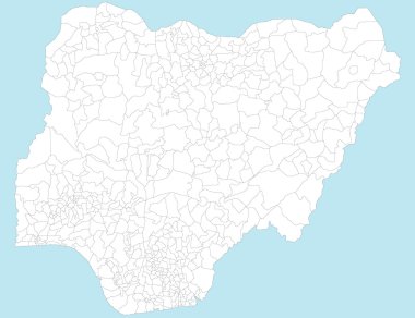
A large and detailed map of Nigeria with all local government areas and cities.

Vector road map of Federal Republic of Nigeria

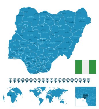
Blue-gray detailed map of Nigeria administrative divisions and location on the globe. Vector illustration

Nigeria - detailed blue country map with cities, regions, location on world map and globe. Infographic icons. Vector illustration

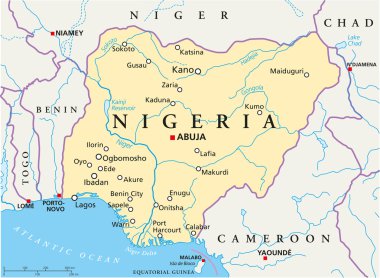
Political map of Nigeria with capital Abuja, national borders, most important cities, rivers and lakes. Vector illustration with English labeling and scaling.

Nigeria map, black and white detailed outline regions of the country. Vector illustration

Nigeria Port Harcourt Round Seal Map Design

Vector administrative and political map of the Federal Republic of Nigeria

A large and detailed map of Nigeria with all local government areas and cities.

Nigeria highly detailed physical map

Nigeria - detailed map with administrative divisions country. Vector illustration

Vector illustration of map of Nigeria