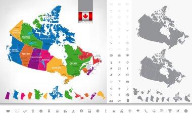
Political map of Canada. Regions and provinces, navigation icons. Highly detailed vector illustration.

Modern City Map - Louisville Kentucky city of the USA with neighborhoods and titles outline map

Map of Canada. Black and blind maps. Regions and provinces. Highly detailed vector illustration.

Modern City Map - Tampa Florida city of the USA with neighborhoods and titles outline map

Modern Map - San Francisco city of the USA
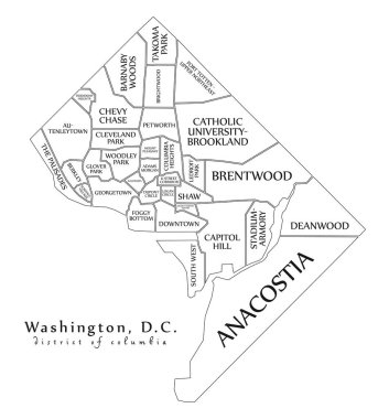
Modern City Map - Washington DC city of the USA with neighborhoods and titles outline map
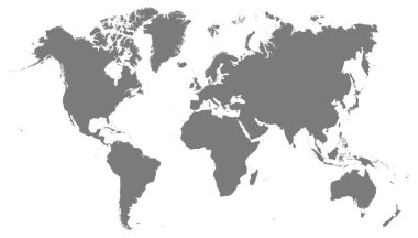
World map grey illustration high details
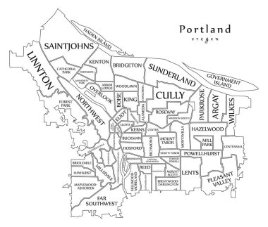
Modern City Map - Portland Oregon city of the USA with neighborhoods and titles outline map
The name "Cape Breton" composed of letters from the diagonal Cape Breton tartan. Transparent background.
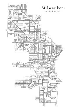
Modern City Map - Milwaukee Wisconsin city of the USA with neighborhoods and titles outline map
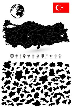
Map of Turkey with it's states and flat map pointers flat navigation set. Black colors.
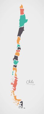
Chile Map with states and modern round shapes
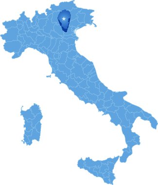
Map of Italy where Vicenza province is pulled out, isolated on white backgroun
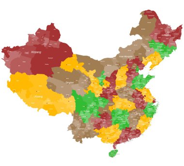
A large and detailed map of China with all prefectures and main cities.
Map of Cuba with provinces and capital cities
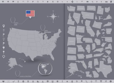
USA map and flag with regions. High Detailed Vector Illustration.
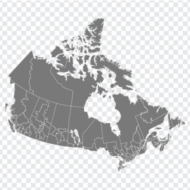
Blank map of Canada. High quality map of Canada with Regions on transparent background for your web site design, logo, app, UI. North America. EPS10.
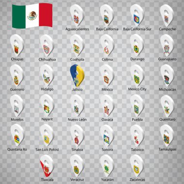
Thirty two flags the States of Mexico - alphabetical order with name. Set of 3d geolocation signs like flags States of Mexico. Thirty two 3d geolocation signs for your design. EPS10
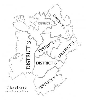
Modern City Map - Charlotte North Carolina city of the USA with boroughs and titles outline map

Maldives Map in grey
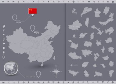
China map and flag with regions. High Detailed Vector Illustration.
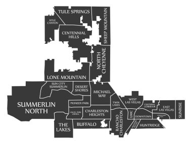
Las Vegas Nevada city map USA labelled black illustration
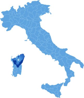
Map of Italy where Nuoro province is pulled out, isolated on white backgroun
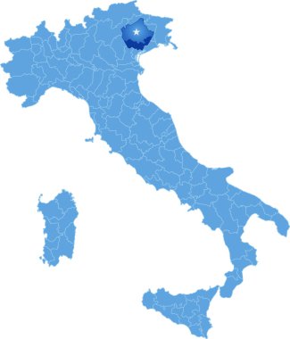
Map of Italy where Treviso province is pulled out, isolated on white backgroun

Turks and Caicos Islands Map with states and modern round shapes
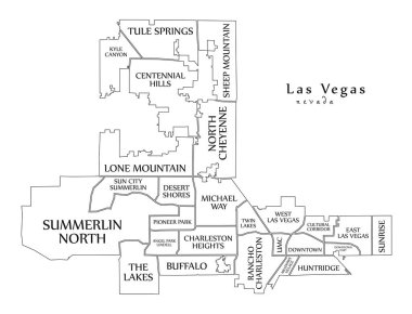
Modern City Map - Las Vegas Nevada city of the USA with neighborhoods and titles outline map

Vietnam map separated on the provinces

Silhouettes of european country Switzerland and all cantons
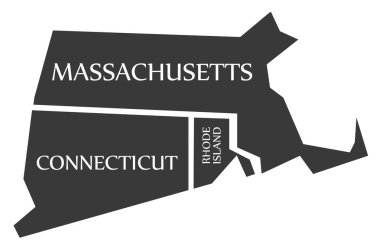
Massachusetts - Connecticut - Rhode Island Map labelled black illustration

Vector map infographic templates pack
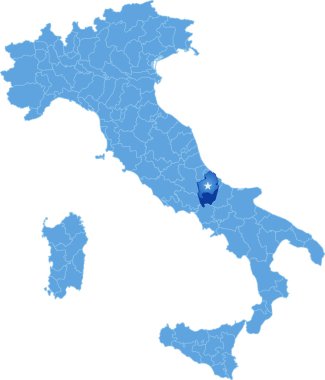
Map of Italy where Isernia province is pulled out, isolated on white backgroun
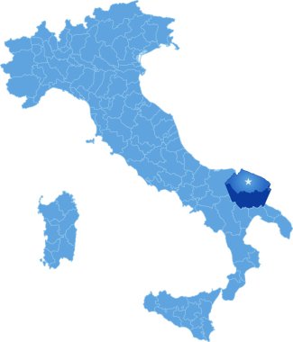
Map of Italy where Bari province is pulled out, isolated on white backgroun

European countries belgium, the netherlands, luxembourg and all provinces

Tunisia map outline vector with administrative borders, regions, municipalities, departments in black white colors. Infographic design template map.

Vietnam map with provinces and capital cities

Jordan map outline vector with administrative borders, regions, municipalities, departments in black white colors. Infographic design template map.

Map of Italy where Modena province is pulled out, isolated on white backgroun
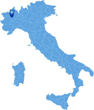
Map of Italy where Biella province is pulled out, isolated on white backgroun

Taiwan Map with states and modern round shapes
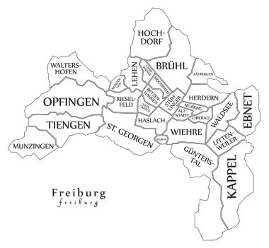
Modern City Map - Freiburg city of Germany with boroughs and titles DE outline map

Map of Italy where Crotone province is pulled out, isolated on white backgroun

Sri Lanka Physical Map Isolated on White. No text - High detail map of Sri Lanka - Vector illustration.
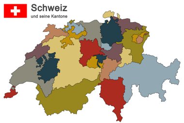
Silhouettes of country Switzerland and all cantons

USA Map with modern round shapes

North and South America. Mainland America. Modern Map - America with all countries complete

America continent map with countries and labels black

Provinces and territories of Canada - map of Newfoundland and Labrador with paper cut effect. Rivers and lakes are shown. Please look at my other images of cartographic series - they are all very detailed and carefully drawn by hand WITH RIVERS AND L
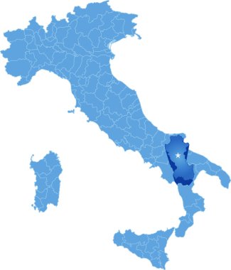
Map of Italy where Potenza province is pulled out, isolated on white backgroun

Canada map and flag on black background, vector illustration.

Spain map and flag with regions. High Detailed Vector Illustration.
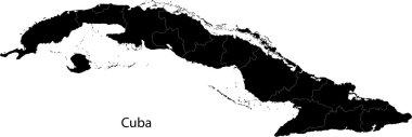
Black Cuba map with provinces

Location of Limburg on map Netherlands. 3d location sign similar to the flag of Limburg. Quality map with provinces of Netherlands for your design. EPS10.

Modern City Map - Philadelphia city of the USA with boroughs and titles outline map

Russia Map with states and modern round shapes

Set of the political Finland maps, markers and symbols for infographic

Boston Massachusetts Map with neighborhoods and modern round shapes
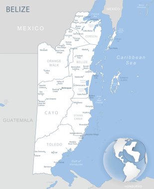
Blue-gray detailed map of Belize administrative divisions and location on the globe. Vector illustration

Modern City Map - Fresno California city of the USA with neighborhoods and titles outline map

Set of the political Sweden maps, markers and symbols for infographic
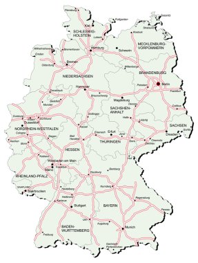
Vectorial map of Germany with provinces and of autobahns. No gradients and blends. Every province is separate curve. Names of provinces, cities and autobahns a

Survey map of the four Canadian Atlantic States, Atlantic canada

Modern City Map - Lexington-Fayette Kentucky city of the USA with neighborhoods and titles outline

Denmark outline map vector with administrative borders, regions, municipalities, departments in black white colors

Kazakhstan vector map infographic template divided by states, regions or provinces. Slide presentation.

Vector illustrations of Europe map with grey countries and white borders

Somalia detailed administrative blue map with country flag and location on the world map. Vector illustration

Detailed physical map of Spain with roads,railroads and cities.

Set of the political Japan maps, markers and symbols for infographic

Santa catarina map with map pin

Line Art Landscape

Belgium map with administrative division into provinces.
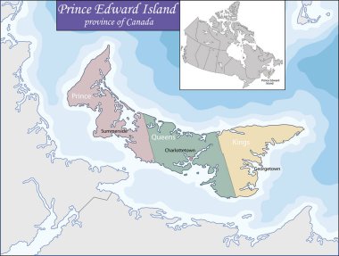
Prince Edward Island is a province of Canada consisting of the island of the same name, as well as several much smaller islands

Mato grosso do sul map with map pin

Tajikistan vector maps with administrative regions, municipalities, departments, borders

Australia map - vector illustration political map with cities.

Map of Turkey with it's states and flat map pointers isolated on white.

Modern City Map - Mannheim city of Germany with boroughs and titles DE outline map

Philadelphia city map USA labelled black illustration

Iran Map with states and modern round shapes

Blank map of Jersey. High quality map of Jersey with provinces on transparent background for your web site design, logo, app, UI. Europe. UK. EPS10.

Location of Overijssel on map Netherlands. 3d location sign similar to the flag of Overijssel. Quality map with provinces of Netherlands for your design. EPS10.
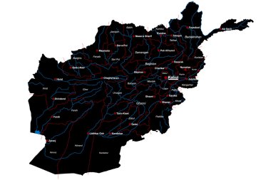
Large and detailed map of Afghanistan
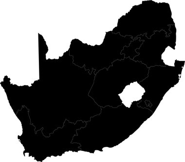
South Africa map designed in illustration with the provinces

Set of the political Belgium maps, markers and symbols for infographic

Modern City Map - Nuremberg city of Germany with boroughs and titles DE outline map

Location of Antwerpen on map Belgium. 3d location sign similar to the flag of Antwerpen. Quality map with provinces of Belgium for your design. EPS10.

Modern City Map - Detroit Michigan city of the USA with districts and titles outline map

Illustration of a Blank Map of France

China vector map infographic template

Bangladesh districts Map grey

Munich City Map Germany DE labelled black illustration

Outline map of Netherlands. Isolated vector illustration.

Boston Massachusetts city map USA labelled black illustration

Bhutan Map with states and modern round shapes

Modern City Map - Boston Massachusetts city of the USA with boroughs and titles outline map

Modern Map - Alabama county map with labels USA silhouette illustration

Vector illustration of analytical data on the coronavirus vaccine in infographics, graphs and statistics of vaccination in the state

Set of the political Norway maps, markers and symbols for infographic

Nigeria Map with states and modern round shapes

Blank map of Australia. Map of australian states. High detailed gray vector map of Australia on transparent background for your web site design, logo, app, UI. EPS10.