
Quebec province blank vector outline map set

Map of Canada divided into 10 provinces and 3 territories. Administrative regions of Canada. Blank white map with black outline. Vector illustration.

Map of Canada divided into 10 provinces and 3 territories. Administrative regions of Canada. White map with black outline and black region name labels. Vector illustration.

Canada flag on map of country
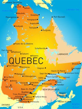
Vector color map of Quebec Province

Doodle Map of Canada - vector illustration

Quebec flag, province of Canada. Vector illustration.

Province quebec road vector map with flag

Vector road map of the four canada atlantic provinces

Quebec Map on Canadian Flag. QC, CA Province Map on Canada Flag. EPS Vector Graphic Clipart Icon

Newfoundland and labrador vector map

Vector illustration of Quebec province map on white background
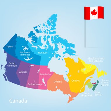
Colorful Canada map with provinces. Vector illustration.
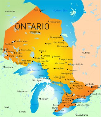
Vector color map of Ontario Province

Hand Drawn Doodle Map Of Canada

Quebec (provinces and territories of Canada) map vector illustration, scribble sketch Quebec map

Travel poster, urban street plan city map Montreal and Ottawa, vector illustration

City map Ottawa, travel vector poster design

Canada Map. Stock Vector Illustration
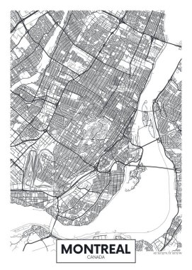
City map Montreal, travel vector poster design

Graphic of the North American great lakes and their neighboring states

Canada map with provinces

Vector map of Canada with provinces and territories borders.

Canada colorful map in blue background, canada map vector, map vector

North America with highlighted Canada map. Vector Illustration

Canada, United States and Mexico detailed map with states names and borders. Flags and largest cities skylines outline icons of United States, Canada and Mexico
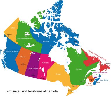
Colorful Canada map with provinces and capital cities

Canada highly detailed physical map,in vector format,with all the relief forms,regions and big cities.
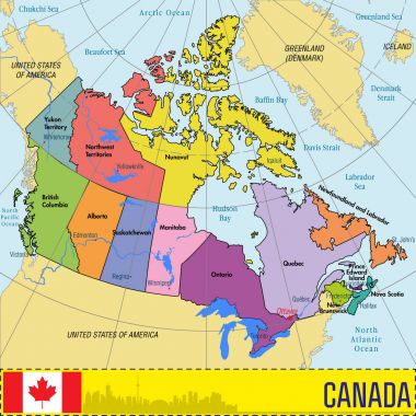
Vector highly detailed political map of Canada with regions and their capitals. All elements are separated in editable layers clearly labeled. EPS 10

Vector set. Map of Canada with provinces and territories borders and vector flags.

Canada map with provinces and cities, vector illustration.
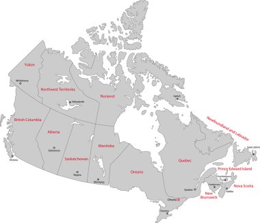
Gray Canada map with provinces and capital cities

Province of Quebec Map. Canada state with cities and towns.

High detailed Canada road map with labeling.

Map Canada. Poster map of provinces and territories of Canada. Black and white print map of Canada for t-shirt, poster or geographic themes. Hand-drawn black map with provinces. Vector Illustration
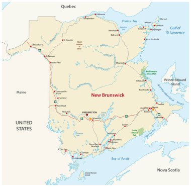
Road map of the canada atlantic province new brunswick

Road map of the canada atlantic province new brunswick

Map of the great lakes and st lawrence river drainage aregions

Canada map in blue color with national borders. Vector illustration.

Map Canada. Poster map of provinces and territories of Canada. Black and white print map of Canada for t-shirt, poster or geographic themes. Hand-drawn black map with provinces. Vector Illustration

Map of Canada - vector illustration. Regions and provinces.

Red map of canada vector illustration isolated on white background

Canada Detailed Political Map Isolated On White. Regions and provinces. Highly detailed vector illustration.

Vector Illustration of a Administrative and Political Map of Canada

Map Canada. Poster map of provinces and territories of Canada. Black and white print map of Canada for t-shirt, poster or geographic themes. Hand-drawn black map with provinces. Vector Illustration

Vector map of North American Lake Champlain, United States, Canada

Silhouette regions map of the Canada, vector illustration

Colored Hand drawn doodle Canada map. city names lettering and cartoon landmarks, tourist attractions cliparts. Canada travel, trip comic infographic poster, banner concept design

Newfoundland and Labrador province vector editable map of the Canada with capital, national borders, cities and towns, rivers and lakes. Vector EPS-10 file

Quebec map with cities location mark illustration and vector with grunge texture Quebec is a province of Canada

Colored Sticker of Hand drawn doodle Canada map. city names lettering and cartoon landmarks, tourist attractions cliparts. Canada travel, trip comic infographic poster, banner concept design

Province quebec road vector map
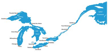
Map of the great lakes and st lawrence river with major cities

Quebec province vector editable map of the Canada with capital, national borders, cities and towns, rivers and lakes. Vector EPS-10 file

Map Canada. Poster map of provinces and territories of Canada. Black and white print map of Canada for t-shirt, poster or geographic themes. Hand-drawn black map with provinces. Vector Illustration

Detailed map of the great lakes
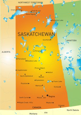
Vector color map of Saskatchewan province
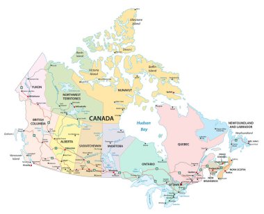
Canada administrative, political and road vector map
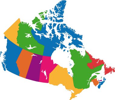
Vector colorful Canada map with province borders

Saskatchewan province vector editable map of the Canada with capital, national borders, cities and towns, rivers and lakes. Vector EPS-10 file

Manitoba Map. Canada state with cities and towns

Canada Regions Map with Editable Outline Vector Illustration

Province of Alberta Map. Canada state with cities and towns

Canada road vector map with flag

Canada Regions Map Vector

Alberta province vector editable map of the Canada with capital, national borders, cities and towns, rivers and lakes. Vector EPS-10 file

Map of the four canada atlantic provinces

Canada Regions Map Vector

Detailed Map of Quebec, Canada

Quebec blank outline map set

Quebec map with emblem and flag illustration and vector with grunge texture Quebec is a province of Canada

Flag of Canada - vector illustration

Contour map of the Canada, vector illustration

Canada world map

Map of Canada - vector illustration

North America Map Old Vintage Color. Highly detailed map. All elements are separated in editable layers clearly labeled. Vector

Map Canada. Poster map of provinces and territories of Canada. Black and white print map of Canada for t-shirt, poster or geographic themes. Hand-drawn black map with provinces. Vector Illustration

Canada Map and flat Icons - vector illustration

Silhouette map of the Canada.

Contour maps of the Canada. All objects are independent and fully editable.

Canada map hand drawn background vector,illustration

Map Canada. Poster map of provinces and territories of Canada. Black and white print map of Canada for t-shirt, poster or geographic themes. Hand-drawn black map with provinces. Vector Illustration

Canada detailed outline map and icons. D.I.Y.infographic set. All elements are separated in editable layers clearly labeled.
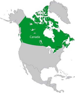
Location of Canada on the north America continent

Canada Map Blue Colors and icons. Regions and provinces.

Canada map, administrative division, separate individual states with state names, color map isolated on white background.
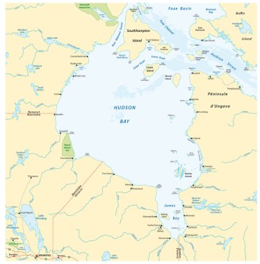
Vector map of canadian marginal sea hudson bay

Silhouette provinces map of the Canada, vector illustration
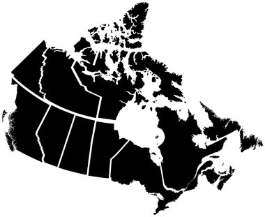
Detailed Map of Canadian Territories, each territory labeled on a seperate layer

Canada Map. Stock Vector Illustration

Vector illustration of Canada Administrative Map in vibrant colors

Canada map administrative division, separates regions and names individual region, design card blackboard chalkboard.

Canada map. Golden Canada logo. Creative Canada logo design
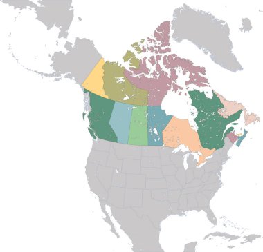
Canada is a country in the northern part of North America

Map of the great lakes, silhouette

Vector map of Reservoir Manicouagan Quebec Canada

Outline map of the five Canadian regions

Map of Canada with flag - vector illustration

Maritime vector provinces color map

Canada, Quebec City flat landmarks vector illustration. Canada, Quebec City line city with famous travel sights, design skyline.