
Recife silhouette skyline. Brazil - Recife vector city, brazilian linear architecture, buildings. Recife line travel illustration, landmarks. Brazil flat icons, brazilian outline design banner

Brazil, Recife winter holidays skyline. Merry Christmas, Happy New Year decorated banner with Santa Claus.Flat, outline vector.Brazil, Recife linear christmas city illustration

International Monuments Flat Vectors Pack
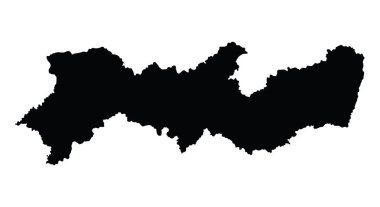
Brazil province map, state Pernambuco vector map silhouette isolated on white background. High detailed silhouette illustration.

Illustration of city with baroque architecture usually found in latin america.

A street in Olinda, Pernambuco state, Brazil. South America. Hand drawn vintage postcard
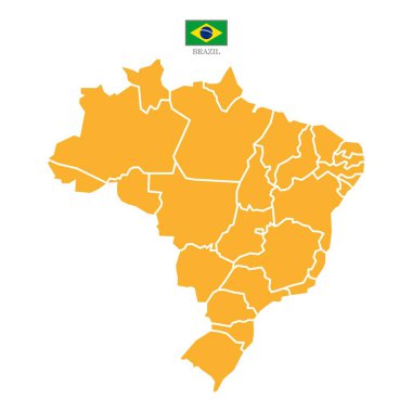
Orange map of Brazil divided into states and territories. White flat map with black borders on a white background. Highly detailed.

Brazil , Recife outline skyline, brazilian flat thin line icons, landmarks, illustrations. Brazil , Recife cityscape, brazilian vector travel city banner. Urban silhouette

Turquoise map of Brazil divided into states and territories. White flat map with black borders on a white background. Highly detailed.

Above view of Olinda, Pernambuco, Brazil, South America. Hand drawn vintage postcard

A colonial house Olinda, Brazil, South America. Hand drawn vintage postcard

Political map of Brazil with capital Brasilia, national borders, most important cities, rivers and lakes. Vector illustration with english labeling and scale.

Brazil northeast region map isolated on white background

Location of Pernambuco on map Brazil. 3d Pernambuco location sign similar to the flag of Pernambuco. Quality map with regions of Brazil. Federal Republic of Brazil. EPS10.

Olinda, Pernambuco, Brazil. Above view of old town. Hand drawn vintage postcard

Map of Brazil with borders in gray

The detailed map of the Brazil with regions or states and cities, capitals, national flag

Highly detailed physical map of the Brazil,in vector format,with all the relief forms,regions and big cities.

States of Brazil, political map. Differently colored federative units, with their borders and capitals. Subnational entities with certain degree of autonomy, forming the Federative Republic of Brazil.

Map of Brazil with states and capitals

Vector map Brazil. Isolated vector Illustration. Black on White background. EPS 10 Illustration.
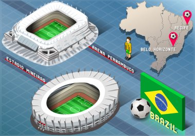
Detailed illustration of a Isometric Stadium of Recife and Belo Horizonte, Brazi

The detailed map of the Brazil with regions or states and cities, capitals

A large, detailed map of Brazil with all regions and main cities.

Pernambuco blank outline map set on white background

Brazilian flag with soccer ball

One continuous line drawing of Recife city skyline, Brazil. Beautiful landmark home decor poster print art. World landscape tourism travel vacation. Stylish single line draw design vector illustration

Flag of Pernambuco from brush strokes. Blank map of Pernambuco. Federal Republic of Brazil. High quality map of Pernambuco and flag on transparent background. Stock vector. EPS10.

Urban vector city map of Recife, Brazil

Flag of Pernambuco from brush strokes. Federal Republic of Brazil. Flag Pernambuco of Brazil on transparent background for your web site design, app, UI. Brazil. Stock vector. EPS10.

The Pernambuco State regions map with labels on white background, Brazil

Brazil design with maracas and congas drum over white background colorful design vector illustration
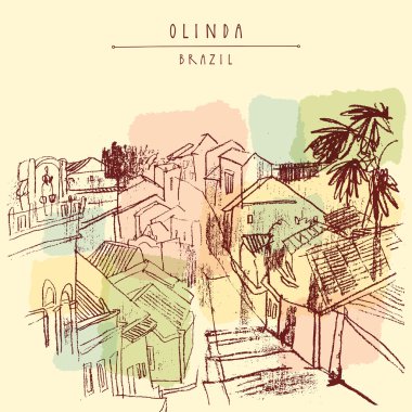
Above view of Olinda, Pernambuco, Brazil, South America. Hand drawn vintage postcard
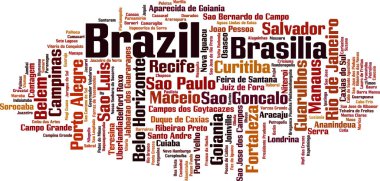
Cities in Brazil word cloud concept. Vector illustration
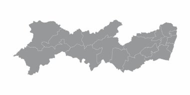
The Pernambuco State regions map on white background, Brazil

Map of Brazil. Country outline with 10 largest cities including Brasilia, capital city.

I Love Brazil Illustration on white background.

Brazil design with toucan and beautiful flowers over country flag background colorful design vector illustration
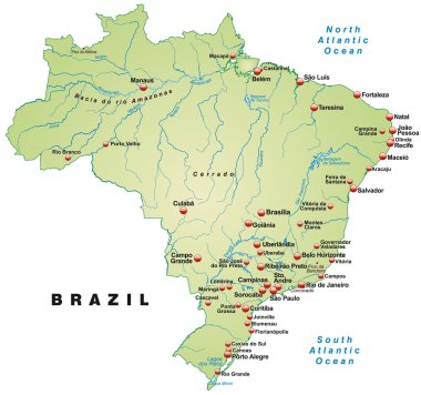
Map of Brazil as an overview map in pastel green

Brazil northeast region map isolated on white background
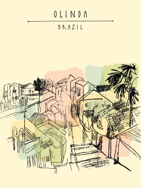
Above view of Olinda, Pernambuco, Brazil, South America. Hand drawn vintage postcard

Brazilian girl jumping. Hand drawn flat design frevo illustration

Olinda, Pernambuco, Brazil. Above view of old town. Hand drawn vintage postcard

Map of Brazil as an overview map in pastel orange

The Recife metropolitan region isolated map with labels, Pernambuco State, Brazil
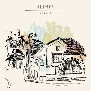
A colonial house Olinda, Brazil, South America. Hand drawn vintage postcard

Girl dancing with umbrella. Hand drawn flat design frevo illustration

One single line drawing of Recife city skyline, Brazil. World historical town landscape postcard. Best place holiday destination. Editable stroke trendy continuous line draw design vector illustration

Map of Brazil. Country outline with information box and 10 largest cities.

Map of Brazil with borders in violet

Map of Brazil as an infographic in green

Brazil design with musical instruments and Brazilian Carnival Mask over white background colorful design vector illustration

A colonial house Olinda, Brazil, South America. Hand drawn vintage postcard

The detailed map of the Brazil with regions or states and cities, capitals

Vector map Brazil. Isolated vector Illustration. Black on White background. EPS 10 Illustration.

Flag of Pernambuco from brush strokes. Federal Republic of Brazil. Flag Pernambuco of Brazil on transparent background for your web site design, logo, app, UI. Brazil. EPS10.

Vector map Brazil. Isolated vector Illustration. Black on White background. EPS 10 Illustration.

Detailed map of the Brazil with cities

A colonial house Olinda, Brazil, South America. Hand drawn vintage postcard

List of cities and towns in Brazil, word cloud collage, business and travel concept background

Underwater silhouette background. Undersea coral reef, ocean fish and marine algae cartoon scene, sunbeams under water. Vector aqua life and sea bottom

Olinda, Pernambuco, Brazil. Above view of old town. Hand drawn vintage postcard

Urban vector city map of Recife, Brazil

Brazil icon set of flags and country map over white backgroud colorful design vector illustration
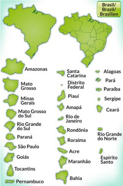
Map of Brazil with borders in green

Map of Brazil with borders with bright colors

Brazil map and words cloud with larger cities

Concept illustration showing the name of famous Brazilian cities alongside a soccer ball and the country's flag

Buenos aires bogota recife curitiba montevideo rio de janeiro airline tag

Map of Brazil with borders in gray

Vector illustration of different words about the Brazil

Heart word cloud with List of cities in Brazil, concept background
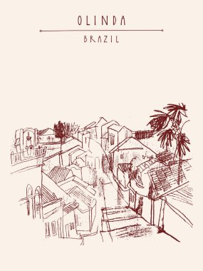
Olinda, Pernambuco, Brazil. Above view of old town. Hand drawn vintage postcard

Map of Brazil as an overview map in gray

The Pernambuco State map with the main cities, Brazil

Map of Brazil as an overview map in pastel orange

List of cities and towns in Brazil, word cloud collage, business and travel concept background

Map of Brazil. Country outline with 10 largest cities including Brasilia, capital city.

Map of Brazil with abstract background in blue

Map of Brazil with borders in blue

Recife realistically looking airport luggage tag illustration

Travel Brazil famous cities with handmade calligraphy. Brasilia city, Rio de Janeiro, Sao Paulo, Bahia. Seamless pattern background vector for your own poster, wrapping paper or marketing campaign.

Brazil city building with multi floor, big windows and red roof. Cartoon style. Vector illustration on white background

Map of Brazil with borders in bright gray

Map of Brazil with borders in violet

Map of Brazil with abstract background in violet

Map of Brazil. Country outline with 10 largest cities including Brasilia, capital city.

Departure board - destination airports. Vector illustration - the letters and numbers for easy editing your own messages are embedded outside the viewing area. Brazil destinations: Rio de Janeiro, Sao Paulo, Brasilia, Salvador, Porto Alegre and other

Map of Brazil as an overview map in green

Urban vector city map of Recife, Brazil

Travel Brazil South america famous landmarks with handmade calligraphy. Rio de Janeiro city, Bahia, Sao Paulo, Curitiba, Brasilia. Seamless pattern ideal for own design, wrapping paper or web. EPS10 vector.

A colonial house Olinda, Brazil, South America. Hand drawn vintage postcard

Satellite map of Recife, it is is the fourth-largest urban agglomeration in Brazil. Map of streets and buildings of the town center

Pernambuco (Region of Brazil, Federated state, Federative Republic of Brazil) map vector illustration, scribble sketch Pernambuco map

Heart word cloud with List of cities in Brazil, concept background

Vector map Brazil. Isolated vector Illustration. Black on White background. EPS 10 Illustration.

Vector map Brazil. Isolated vector Illustration. Black on White background. EPS 10 Illustration.

Brazil design with palms and beautiful flowers over white background colorful design vector illustration

The Pernambuco State map divided in regions with labels, Brazil

Flag of Pernambuco from brush strokes. Federal Republic of Brazil. Waving Flag Pernambuco of Brazil on transparent background for your web site design, app, UI. Brazil. Vector illustration EPS10.