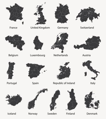
Vector set of european maps with region borders

Scandinavia maps

Prayagraj District Highlighted in Uttar Pradesh State Map of India

Afghanistan vector maps with administrative regions, municipalities, departments, borders
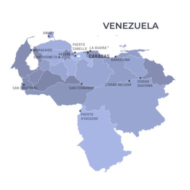
Map of VENEZUELA with Regions Borders and Famous Cities

Jhabua District Map Highlighted on Madhya Pradesh State Map

Map sets of Pakistan. Politics and diplomacy concept.

Ratlam District Map Highlighted on Madhya Pradesh State Map

Kannauj District Highlighted in Uttar Pradesh State Map of India

Spain map (colored by autonomous communities) with administrative divisions

This graphic showcases a stylized map of New Zealand, featuring a unique dot pattern. The design focuses on both the North and South Islands.
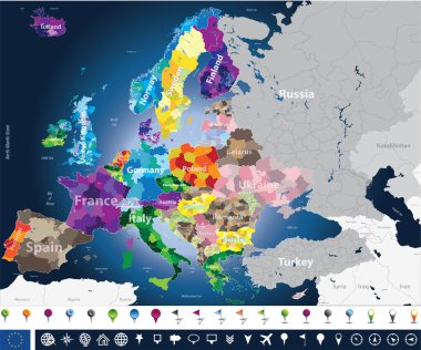
High detailed Europe map with coutries names and region borders

Shravasti District Highlighted in Uttar Pradesh State Map of India

Map of KAZAKHSTAN with Regions Borders and Famous Cities
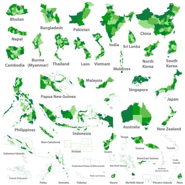
Asian, Australia and Oceania countries maps

Vintage USA Map with Regions Borders and Major Cities Positions

Beautiful and colorful map of Italy with italian regions, capitals and important cities. Vector illustration.
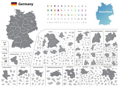
Federal states of Germany map with administrative districts and subdivisions

Germany map (colored by states and administrative districts) with subdivisions
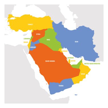
West Asia Region. Map of countries in western Asia or Middle East. Vector illustration.

Map of Italy divided into 20 administrative regions. Grey land, white borders and black labels. Simple flat vector illustration.

France map colored by regions

Map of AUSTRALIA with Regions Borders and Famous Cities

Six geographical regions of Europe - Southern, Southeastern, Western, Central, Eastern and Northern. Flat political vector map with labels.

A modern map of China with a division into regions, on a gray background with a red title. Vector illustration

A modern map of Turkey with a division into regions, on a gray background with a red title. Vector illustration

Map of ITALY with Regions Borders and Famous Cities

Saharanpur Division Highlighted in Uttar Pradesh State Map of India
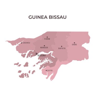
Map of GUINEA BISSAU with Regions Borders and Famous Cities

Vector map with Nandurbar district highlighted in Maharashtra, India

Map of PORTUGAL with Regions Borders and Famous Cities

Italy regions map. Vector colorful map. Italy regions.

Regions of France. Map of regional country administrative divisions. Colorful vector illustration.

Map of GREECE with Regions Borders and Famous Cities

Map of MALAYSIA with Regions Borders and Famous Cities

Turkey Map with states and modern round shapes

Jaunpur District green Map of Uttar Pradesh, India

North America map. Retro Colors. D.I.Y.infographic set.All elements are separated in editable layers clearly labeled. All layers are subscribed.
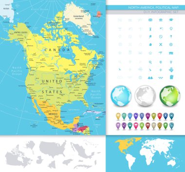
North America detailed political map. D.I.Y.infographic set.All elements are separated in editable layers clearly labeled. All layers are subscribed.
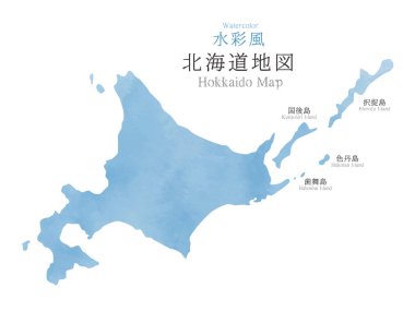
Japan Hokkaido region map with watercolor texture / traslation of Japanese "Hokkaido Map" "Watercolor"

Japan Shikoku region map with watercolor texture / traslation of Japanese "Shikoku Map"
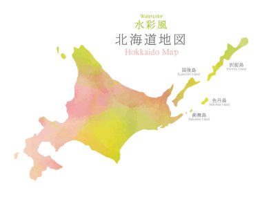
Japan Hokkaido region map with watercolor texture / traslation of Japanese "Hokkaido Map" "Watercolor"
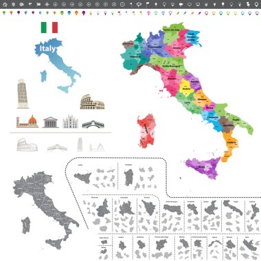
Vector Italy map colored by regions
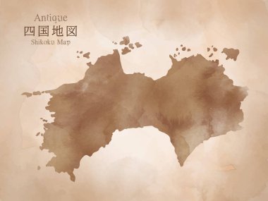
Japan Shikoku region antique map with watercolor texture / traslation of Japanese "Shikoku Map"

North America map with navigation icons. D.I.Y.infographic set.All elements are separated in editable layers clearly labeled. All layers are subscribed.

North America detailed political map with a 3D square icons. D.I.Y.infographic set.All elements are separated in editable layers clearly labeled. All layers are subscribed.

Turkey map, Infographics flat design colors snow white, with names of individual regions vector

Colorful map of Middle East. Vector
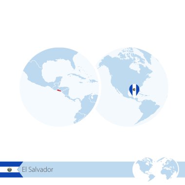
El Salvador on world globe with flag and regional map of El Salvador. Vector Illustration.

Baghpat District Map of Uttar Pradesh, India

Vector color map of Palau

Greece on world globe with flag and regional map of Greece. Vector Illustration.

Chitrakoot Division map of Uttar Pradesh State India
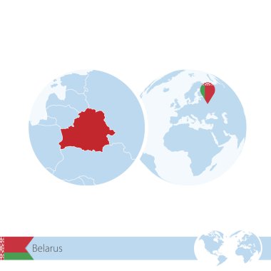
Belarus on world globe with flag and regional map of Belarus. Vector Illustration.

China on world globe with flag and regional map of China. Vector Illustration.
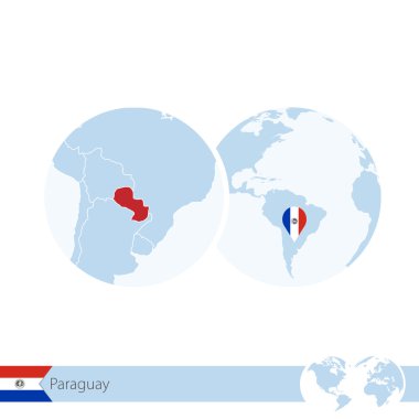
Paraguay on world globe with flag and regional map of Paraguay. Vector Illustration.

Liechtenstein on world globe with flag and regional map of Liechtenstein. Vector Illustration.

Bareilly District Highlighted in Uttar Pradesh State Map of India

Hamirpur District Highlighted in Uttar Pradesh State Map of India

Sonbhadra dist Highlighted in Uttar Pradesh State Map of India

Meerut Division map of Uttar Pradesh State India

Kanpur Division map of Uttar Pradesh State India

Basti Division Highlighted in Uttar Pradesh State Map of India

Kasganj (Kanshiram Nagar) District Vector Map with Bold Black Outline

Ayodhya District orange color Map of Uttar Pradesh, India

Amethi District green Map of Uttar Pradesh, India

Agra District Vector Map with Bold blue Outline of Uttar Pradesh, India

Ambedkar District Map of Uttar Pradesh, India

Jhansi District Map of Uttar Pradesh, India

Firozabad District Highlighted in Uttar Pradesh State Map of India

Gautam Buddh Nagar (Noida) District Highlighted in Uttar Pradesh State Map of India

Kanpur Dehat District Highlighted in Uttar Pradesh State Map of India

Amroha District Highlighted in Uttar Pradesh State Map of India

Amethi District Highlighted in Uttar Pradesh State Map of India

Bareilly Division Highlighted in Uttar Pradesh State Map of India

Azamgarh Division Highlighted in Uttar Pradesh State Map of India

Agra Division Highlighted in Uttar Pradesh State Map of India

Lucknow Division Highlighted in Uttar Pradesh State Map of India

Kanpur Division Highlighted in Uttar Pradesh State Map of India

Mirzapur Division map of Uttar Pradesh State India

Balrampur District Vector Map with Bold red Outline of Uttar Pradesh, India

Ballia District green color Map of Uttar Pradesh, India

Pratapgarh District Highlighted in Uttar Pradesh State Map of India

Lucknow District Highlighted in Uttar Pradesh State Map of India

Waikato region blank outline map

Vector illustration highlighting Dubai's Burj Khalifa on a simplified UAE map with clear labels and vibrant colors

Aligarh Division Highlighted in Uttar Pradesh State Map of India

Balrampur District Map of Uttar Pradesh, India

Ambedkar District Vector Map with yellow Outline of Uttar Pradesh, India

Kasganj (Kanshiram Nagar) District Map of Uttar Pradesh, India

Prayagraj Division map of Uttar Pradesh State India

Bareilly Division map of Uttar Pradesh State India

Jhansi Division map of Uttar Pradesh State India

Sitapur Highlighted in Uttar Pradesh State Map of India

Auraiya District Highlighted in Uttar Pradesh State Map of India

Deoria District Highlighted in Uttar Pradesh State Map of India

Chitrakoot District Highlighted in Uttar Pradesh State Map of India

Lakhimpur Kheri District Highlighted in Uttar Pradesh State Map of India

Kushinagar District Highlighted in Uttar Pradesh State Map of India

Downloadable vector pack of 12 Solid Filled-style icons themed around Region. Simple, clean, and easy to use.