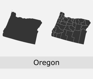
Oregon vector maps counties, townships, regions, municipalities, departments, borders
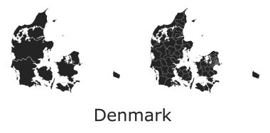
Denmark vector maps with administrative regions, municipalities, departments, borders
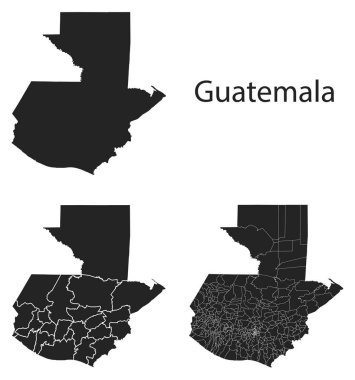
Guatemala vector maps with administrative regions, municipalities, departments, borders
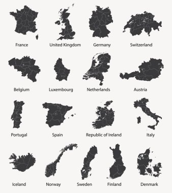
Vector set of european maps with region borders

Prayagraj District Highlighted in Uttar Pradesh State Map of India

Afghanistan vector maps with administrative regions, municipalities, departments, borders
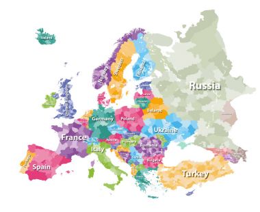
Colored political map of Europe with countries' regions. Vector illustration

Guatemala map outline vector with administrative borders, regions, municipalities, departments in black white colors. Infographic design template map.

Slovakia vector maps with administrative regions, municipalities, departments, borders

Jhabua District Map Highlighted on Madhya Pradesh State Map

Ratlam District Map Highlighted on Madhya Pradesh State Map

Kazakhstan vector maps with administrative regions, municipalities, departments, borders

Ukraine vector maps with administrative regions, municipalities, departments, borders

Sardinia blank outline map set

Kannauj District Highlighted in Uttar Pradesh State Map of India

High detailed colored political map of Europe with countries' regions. Vector

North America with countries Map grey
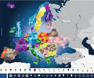
High detailed Europe map with coutries names and region borders

Hungary vector maps with administrative regions, municipalities, departments, borders

Shravasti District Highlighted in Uttar Pradesh State Map of India

Kazakhstan - solid black outline border map of country area. Simple flat vector illustration.
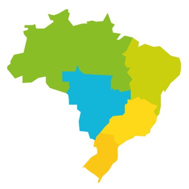
Colorful political map of Brazil. States divide by color into 5 regions . Simple flat blank vector map

New Jersey counties vector map with USA map colors national flag

Administrative map of the 13 regions of france since 2016
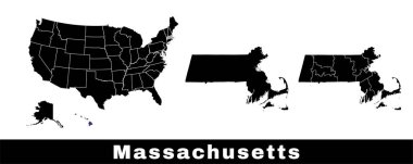
Massachusetts state map, USA. Set of Massachusetts maps with outline border, counties and US states map. Black and white color vector illustration.

Oregon counties vector map with USA map colors national flag
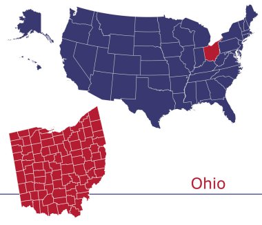
Ohio counties vector map with USA map colors national flag

Haiti map outline vector with administrative borders, regions, municipalities, departments in black white colors. Infographic design template map

Texas counties vector map with USA map colors national flag

Washington counties vector map with USA map colors national flag

Georgia vector maps counties, townships, regions, municipalities, departments, borders

Illinois counties vector map with USA map colors national flag
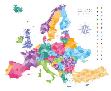
Europe map colored by countries with regions borders. Navigation, location and travel icons collection.
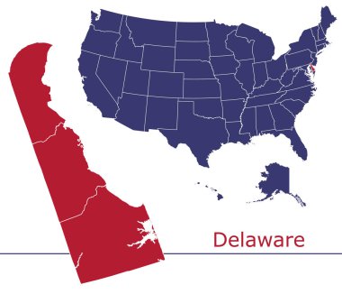
Delaware counties vector map with USA map colors national flag

Florida counties vector map with USA map colors national flag

Saharanpur Division Highlighted in Uttar Pradesh State Map of India

Vector map with Nandurbar district highlighted in Maharashtra, India

Michigan counties vector map with USA map colors national flag

Kentucky counties vector map with USA map colors national flag

Arkansas vector maps counties, townships, regions, municipalities, departments, borders

Louisiana counties vector map with USA map colors national flag

Alabama counties vector map with USA map colors national flag

Map of Florida state, USA. Set of Florida maps with outline border, counties and US states map. Black and white color vector illustration.

Indiana counties vector map with USA map colors national flag

South Carolina counties vector map with USA map colors national flag

Georgia counties vector map with USA map colors national flag

Map of Georgia state, USA. Set of Georgia maps with outline border, counties and US states map. Black and white color vector illustration.

North Carolina state map, USA. Set of North Carolina maps with outline border, counties and US states map. Black and white color vector illustration.

Iowa counties vector map with USA map colors national flag

Mississippi vector maps counties, townships, regions, municipalities, departments, borders

Arkansas counties vector map with USA map colors national flag

Wisconsin counties vector map with USA map colors national flag
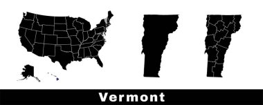
Vermont state map, USA. Set of Vermont maps with outline border, counties and US states map. Black and white color vector illustration.

South Carolina state map, USA. Set of South Carolina maps with outline border, counties and US states map. Black and white color vector illustration.

Mississippi state map, USA. Set of Mississippi maps with outline border, counties and US states map. Black and white color vector illustration.

Map of Alabama state, USA. Set of Alabama maps with outline border, counties and US states map. Black and white color vector illustration.

Jaunpur District green Map of Uttar Pradesh, India

North America map. Retro Colors. D.I.Y.infographic set.All elements are separated in editable layers clearly labeled. All layers are subscribed.
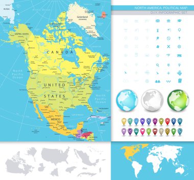
North America detailed political map. D.I.Y.infographic set.All elements are separated in editable layers clearly labeled. All layers are subscribed.

Tajikistan vector maps with administrative regions, municipalities, departments, borders

Denmark outline map vector with administrative borders, regions, municipalities, departments in black white colors

Carcass polygonal and solid map of Mato Grosso State. Vector model is created from map of Mato Grosso State with red stars. Abstract lines and stars are combined into map of Mato Grosso State.

Map of Europe colored by countries with regions borders. Flags of all european countries. Navigation, location and travel icons. All elements separated in labeled and detached layers. Vector

Colorado vector maps counties, townships, regions, municipalities, departments, borders

North Carolina counties vector map with USA map colors national flag

Polygonal mesh map of Ningxia Hui Region in high detail resolution. Mesh lines, triangles and points form map of Ningxia Hui Region.
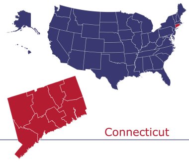
Connecticut counties vector map with USA map colors national flag

North America map with navigation icons. D.I.Y.infographic set.All elements are separated in editable layers clearly labeled. All layers are subscribed.

North America detailed political map with a 3D square icons. D.I.Y.infographic set.All elements are separated in editable layers clearly labeled. All layers are subscribed.

Louisiana vector maps counties, townships, regions, municipalities, departments, borders
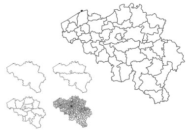
Belgium outline map vector with administrative borders, regions, municipalities, departments in black white colors

Montana vector maps counties, townships, regions, municipalities, departments, borders

Pennsylvania counties vector map with USA map colors national flag

Ohio vector maps counties, townships, regions, municipalities, departments, borders

Ethiopia vector maps with administrative regions, municipalities, departments, borders
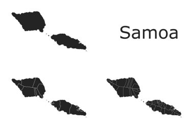
Samoa vector maps with administrative regions, municipalities, departments, borders

Vector halftone Dotted map of Saint Martin country for your design, Travel Illustration concept.

Alabama vector maps counties, townships, regions, municipalities, departments, borders

Rwanda vector maps with administrative regions, municipalities, departments, borders

Arizona vector maps counties, townships, regions, municipalities, departments, borders

Vector Map of Crete Island. Mosaic of green grape leaves, wine bottles. Map of Crete Island mosaic designed with bottles, berries, green leaves. Abstract mosaic is designed for marketing posters.
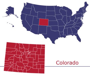
Colorado counties vector map with USA map colors national flag

Dot map of Costa Rica composition and solid illustration. Vector map of Costa Rica composition of sphere points on a white background. Abstract flat territory plan for education illustrations.

Jordan map outline vector with administrative borders, regions, municipalities, departments in black white colors. Infographic design template map.

Zambia vector maps with administrative regions, municipalities, departments, borders

Pixel map of Mato Grosso do Sul State composition and solid illustration. Vector map of Mato Grosso do Sul State composition of round pixels with hexagonal geometric pattern on a white background.

Kansas vector maps counties, townships, regions, municipalities, departments, borders

Pixelated map of Falkland Islands composition and solid illustration. Vector map of Falkland Islands composition of spheric spots on a white background.

Vector color map of Palau

Washington vector maps counties, townships, regions, municipalities, departments, borders

Indiana vector maps counties, townships, regions, municipalities, departments, borders

South Asian Association for Regional Cooperation (SAARC) vector map with logo

Sweden vector maps with administrative regions, municipalities, departments, borders

Kentucky vector maps counties, townships, regions, municipalities, departments, borders

Pixelated map of Tripura State composition and solid illustration. Vector map of Tripura State composition of round points on a white background.

Hungary map outline vector with administrative borders, regions, municipalities, departments in black white colors. Infographic design template map

Dot map of Utah State composition and solid illustration. Vector map of Utah State composition of circle pixels on a white background. Abstract flat territorial scheme for education illustrations.

West Virginia vector maps counties, townships, regions, municipalities, departments, borders

Vector Map of Delaware State with name. Map of Delaware State is isolated on a white background. Simple flat geographic map.

Nicaragua vector maps with administrative regions, municipalities, departments, borders