
Salem (New Jersey) blank outline map

Salem (North Carolina) blank outline map

Salem (West Virginia) blank outline map

Salem (New York) blank outline map

Salem (South Dakota) blank outline map

Illustrated map of the state of Oregon in United States with cities and landmarks. Editable vector illustration
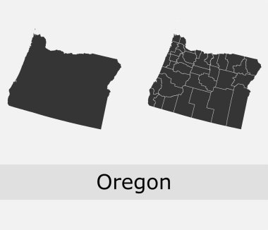
Oregon vector maps counties, townships, regions, municipalities, departments, borders
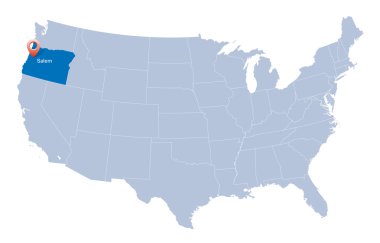
Map of USA with the indication of State of Oregon
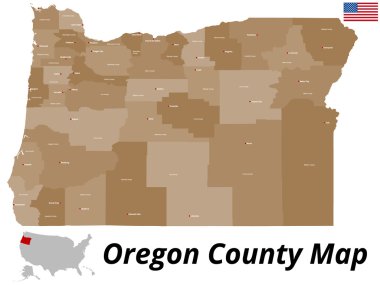
A large and detailed map of the State of Oregon with all counties and county seats.

Oregon counties vector map with USA map colors national flag

High detailed Oregon road map with labeling.
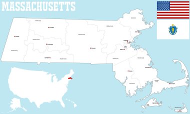
A large and detailed map of the State of Massachusetts with all counties and county seats.
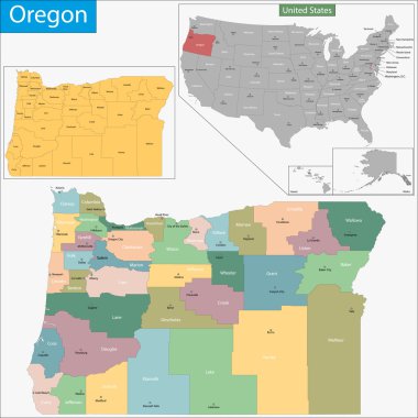
Map of Oregon state designed in illustration with the counties and the county seats
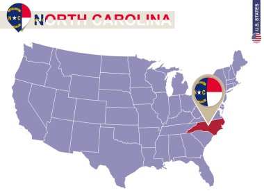
North Carolina State on USA Map. North Carolina flag and map. US States.
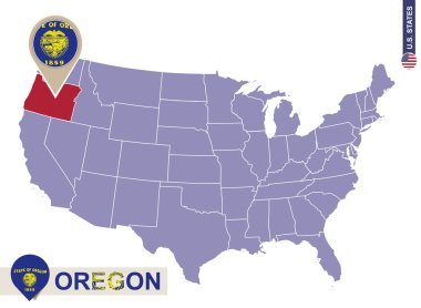
Oregon State on USA Map. Oregon flag and map. US States.
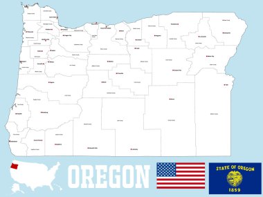
A large and detailed map of the State of Oregon with all counties and county seats.
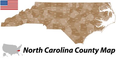
A large and detailed map of the State of North Carolina with all counties and main cities.
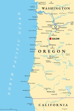
Oregon coast, political map. Coastal region of U.S. state of Oregon, bordered by Pacific Ocean to the west and Oregon Coast Range to the east, stretching from Columbia River to the California border.

Typography composition of city names, silhouettes maps of the states of America, vector detailed posters, Division Pacific - Washington, Oregon, California - set 16 of 17
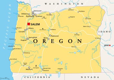
Oregon, OR, political map with the capital Salem. State in the Pacific Northwest region of the Western United States of America, with the nickname The Beaver State. Illustration. Vector.
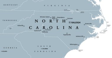
North Carolina, NC, gray political map. With capital Raleigh and largest cities. State in the southeastern region of the United States of America. Old North State. Tar Heel State. Illustration. Vector
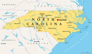
North Carolina, NC, political map. With the capital Raleigh and largest cities. State in the southeastern region of the United States of America. Old North State. Tar Heel State. Illustration. Vector.

Oregon, state of USA - solid black outline map of country area. Simple flat vector illustration.

3d sate with speech bubble on silver map

Color art map of Winston-Salem, North Carolina, UnitedStates in blues and oranges. The color gradations in Winston-Salem map follow a random pattern.

Urban vector city map of Salem, USA. Oregon state capital

Oregon map shape, united states of america. Flat concept icon symbol vector illustration .

Oregon vector black contour mosaic map
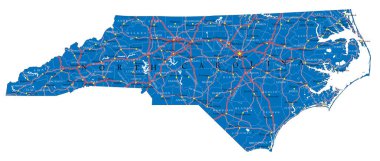
Detailed map of North Carolina state,in vector format,with county borders,roads and major cities.

USA map with the indication of State of Oregon

United States of America isolated map and Oregon State territory. vector USA political map. geographic banner template
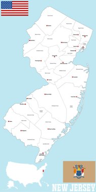
A large and detailed map of the State of New Jersey with all counties and main cities.

Map of Oregon, Chalk sketch vector illustration

Grunge rubber stamp with name of Oregon, Salem
Vintage style stamp featuring the US state of Oregon

A large and detailed map of the State of Massachusetts with all counties, islands and main cities.

Oregon, state of USA - solid black silhouette map of country area. Simple flat vector illustration.

USA - Oregon state infographic template, area, map, population informations included

Oregon road vector map with flag

Massachusetts map with with hat and broom

Illustration of State of Oregon, USA
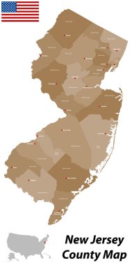
A large and detailed map of the State of New Jersey with all counties and main cities.
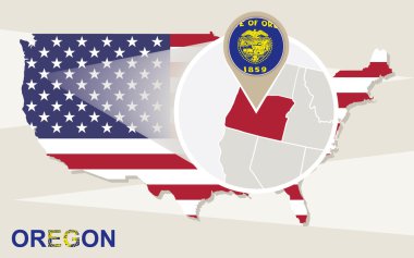
USA map with magnified Oregon State. Oregon flag and map.

Oregon administrative and political map with flag

Stamp set with the name and map of Oregon, United States, vector illustration

Image relative to USA travel. Oregon cities and places names cloud.

India map words cloud with larger cities

USA collection. Hello from North Carolina theme. State Symbols round shape card

Welcome to oregon with the best design quality

Grunge rubber stamp with name and map of Oregon, USA

Label with flag and text Made in Oregon, vector illustration

Oregon USA state map vector tag cloud illustration

Oregon blank outline map set
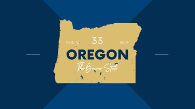
33 of 50 states of the United States with a name, nickname, and date admitted to the Union, Detailed Vector Oregon Map for printing posters, postcards and t-shirts

USA vehicle registration plates with state and city symbols. Vector American car number plates of Minnesota, Nevada and Maryland, Rhode Island or Memphis and Tennessee, New Jersey and Oregon

Oregon state with beautiful view

New Salem (North Dakota) blank outline map

Vector map of the US state of Oregon

Oregon, U.S. state, subdivided into 36 counties, multi colored political map with capital Salem, borders and county names. State in the Pacific Northwest region of the United States. The Beaver State.

Grunge rubber stamp with name of Oregon, Salem

Oregon Map Pin with National Flag on Open World Map.

Oregon state with beautiful view

Oregon state with beautiful view

West Salem (Ohio) blank outline map

West Salem (Wisconsin) blank outline map

Oregon state with beautiful view

Oregon state with beautiful view

Oregon state car license plate pattern, letters, numbers and symbols, vector illustration, USA, United States odf America

Oregon road and highway map. Vector illustration.

Oregon map shape, united states of america. Flat concept icon symbol vector illustration .