
Springfield skyline linear style with rainbow in editable vector file

Grunge rubber stamp with name of Springfield, Missouri, vector illustration
Flag of Chicago City is located on the shores of freshwater Lake Michigan, and is the third most populous city in the United States. Vector illustration

Urban vector city map of Springfield, USA. Illinois state capital
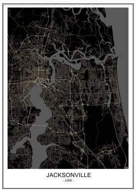
Vector map of the city of Jacksonville, Florida, USA
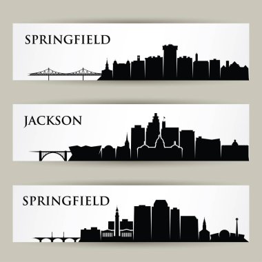
United States of America cities skylines - Springfield, Missouri, Massachusetts, Jackson, Mississippi - vector illustration
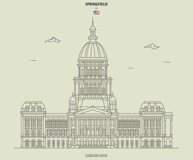
Illinois State Capitol in Springfield, USA. Landmark icon in linear style
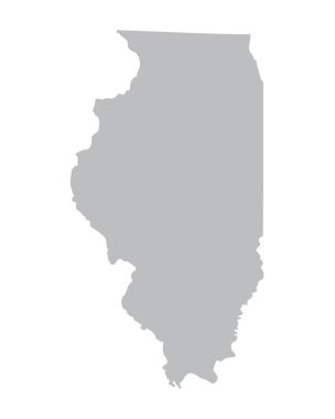
Grey map of Illinois
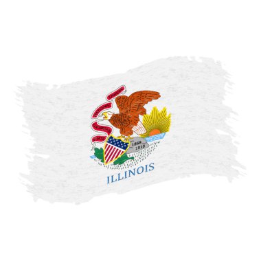
Flag of Illinois. Grunge Abstract Brush Stroke Isolated On A White Background. Vector Illustration. National Flag In Grungy Style. Use For Brochures, Printed Materials, Logos, Independence Day

Massachusetts Autumn park valley, forest trail, walkway, trees yellow foliage. Poster fall seasone, illustration WPA travel style vector
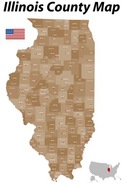
A large, detailed map of the State of Illinois with all counties and main cities.

Illinois map shape, united states of america. Flat concept icon symbol vector illustration .
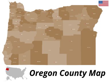
A large and detailed map of the State of Oregon with all counties and county seats.

Portland flag vector illustration. United States of America, Portland city symbol, Oregon state.

High detailed Missouri physical map with labeling.

A large and detailed map of the State of Ohio with all counties and county seats.

Springfield (Nebraska) blank outline map

Illinois (United States of America, USA, U.S., US) - map is designed cannabis leaf green and black, State of Illinois map made of marijuana (marihuana,THC) foliage,

Abstract Springfield Skyline with Color Buildings. Vector Illustration. Business Travel and Tourism Concept . Image for Presentation Banner Placard and Web Site.

Springfield Illinois USA City skyline golden silhouette. Vector illustration. Simple flat concept for tourism presentation, banner, placard or web site. Springfield Cityscape with landmarks.

2017 Solar Eclipse Totality across Tennessee State cities map color vector illustration

Vector background polygonal. Abstract

Motorcycle sport Springfield typography, t-shirt graphic.

Black map of Illinois

Colorful Massachusetts political map with clearly labeled, separated layers. Vector illustration.

The Illinois State map with counties labels

Grunge vintage round stamp or label with text Springfield, Illinois, The Prairie State, vector illustration

Welcome to Springfield grunge rubber stamp on white background, vector illustration

Vintage motorcycle ride typography, t-shirt graphic

Illustration of State of Illinois, USA

Vintage tin sign collection San Francisco. Retro souvenirs or postcard templates on vintage background
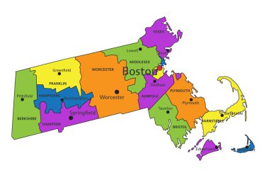
Colorful Massachusetts political map with clearly labeled, separated layers. Vector illustration.

A large and detailed map of the State of Ohio with all counties and county seats.

Happy women's day 8 march. High mountains and spring field full of flowers landscape. Spectacular view. Greeting post card. Modern flat design. Vector illustration.
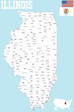
A large and detailed map of the State of Illinois with all counties and county seats.

Missouri State on USA Map. Missouri flag and map. US States.

Springfield skyline in orange background in editable vector file

Administrative vector map of the US Census Region Midwest

Outline Springfield Illinois City Skyline with Modern and Historic Buildings Isolated on White. Vector Illustration. Springfield USA Cityscape with Landmarks.

Motorcycle rider typography, t-shirt graphic

USA map with magnified Illinois State. Illinois flag and map.

Springfield USA City Map in Retro Style. Outline Map. Vector Illustration.

A large and detailed map of the State of Massachusetts with all counties, islands and main cities.
Illinois state map, flag, seal and name.

Black outline of Illinois map- vector illustration

Massachusetts - Highly detailed editable political map.

Illinois car license plate, United States, letters, numbers and symbols, vector illustration

White blank vector map of the Federal State of Illinois, USA with black borders of its counties
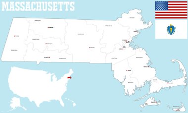
A large and detailed map of the State of Massachusetts with all counties and county seats.

Illinois Map Pin with National Flag on Open World Map.

Image relative to USA travel. Ohio cities and places names cloud.

Stamp or label with text Springfield, Missouri inside, vector illustration
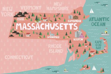
Illustrated map of the state of Massachusetts in United States with cities and landmarks. Editable vector illustration

Racing sport typography, t-shirt graphic.

Illinois State magnified on United States map. Abstract USA map in blue color. Vector illustration.

Yellow map of Illinois with indication of largest cities

Missouri state map flat icon with long shadow EPS 10 vector illustration.

Vintage Touristic Greeting Card - Springfield - Vector

Illinois Aurora Round Seal Map Design

Grunge rubber stamp with name of Illinois, Springfield

White abstract outline of Illinois map on grey background
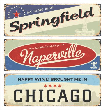
Vintage tin sign collection with USA cities. Springfield. Naperville. Chicago. Retro souvenirs or postcard templates on rust background.

Coat of arms of Illinois is a state in the Midwestern region of the United States. Vector illustration

High detailed Missouri road map with labeling.

Illinois - Highly detailed editable political map with labeling.

Coat of arms of Missouri is a state in the Midwestern United States. The largest urban areas are The largest urban areas are St. Louis, Kansas City, Springfield, and Columbia; the capital is Jefferson City.. Vector illustrator

Illinois - Highly detailed editable political map with labeling.

Coat of arms of Illinois is a state in the Midwestern region of the United States. Vector illustration

Doodle vector map of Illinois state of USA. With legends of state and capital

Springfield skyline in orange background in editable vector file

Illinois waving flag. Illinois state flag background texture.Vector illustration.

Circle Icon WWI Victory Monument. vector illustration.
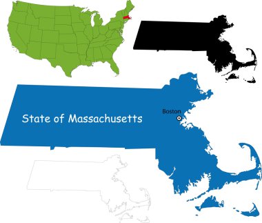
Illustration of State of Massachusetts, USA
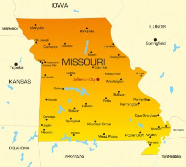
Vector color map of Missouri state. Usa

Illinois Peoria Round Seal Map Design

Image relative to USA travel. Oregon cities and places names cloud.

Layered vector illustration of antique American Rifle.

Springfield grunge rubber stamp on white background, vector illustration

Springfield skyline, Massachusetts, United States of America, USA, vector illustration

Vector map of United States with indication of Illinois

Image relative to USA travel. Massachusetts cities and places names cloud

Illinois - vector map
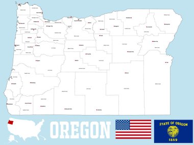
A large and detailed map of the State of Oregon with all counties and county seats.

Chicago vector flag background

List of cities in Ohio USA state, word cloud concept background

North Springfield (Virginia) blank outline map

Shiny icon in form of Illinois state, USA - vector illustrator

A large and detailed map of the State of Missouri with all counties and main cities.

Set of Massachusetts cities stamps on white background, vector illustration

Springfield City skyline black and white silhouette. Vector illustration. Simple flat concept for tourism presentation, banner, placard or web site. Business travel concept. Cityscape with landmarks
Illinois blank outline map set

Label set with names of Missouri cities, vector illustration
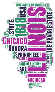
Illinois USA state map vector tag cloud illustration

Vector illustration of the Welcome to Missouri blue road sign

Missouri - Highly detailed editable political map with labeling.

Chicago flag official right proportions, red stars vector illustration EPS10

Springfield green road sign isolated on white background

Flag of City of Jefferson and informally Jeff City, is the capital of the U.S. state of Missouri and the 15th most populous city in the state. Vector illustration

Abstract rubber stamp or label with text Springfield, Missouri written inside, vector illustration

Springfield skyline, Massachusetts, United States of America, USA, vector illustration