
West Virginia State Outline with Bold Text Design is perfect for print, apparel, sticker, etc

Digital map of South America continent with state borders

Digital map of North America continent with state borders

Map illustration of the United States featuring all states in a monochrome style against a beige background. It captures a minimalistic and modern design.

Uttar Pradesh state map with blue color

Uttar Pradesh Map with green line illustration

Vibrant illustration of the United States map accented with glowing borders and patriotic flag elements, symbolizing national pride, unity, and geographic identity.

Uttar Pradesh state map with red color

Brightly illustrated depiction of the United States map outlined overlaid with the American flag. The colorful design is festive and symbolic, appealing for patriotic events and educational purposes.

Vividly depicted map of the United States with distinct colored states against a dark background featuring stars, providing an engaging educational or decorative visual representation.

A detailed and artistic map of the United States, showcasing bold state borders with a vintage American patriotic theme in the background.

USA flag. USA map flat and linear

Uttar Pradesh map design with all districts map border line

Uttar Pradesh Map with green line illustration

USA Map Silhouette with American Flag
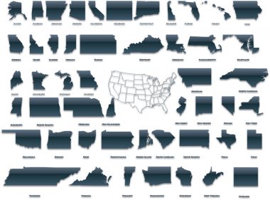
United States of America set in a nice plastic version.

Blank map of USA. High quality map United States with Regions on transparent background for your web site design, logo, app, UI. North America. EPS10.
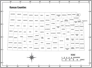
Kansas state outline administrative and political vector map in black and white

Central America and Carribean states political map. Black outline borders. Simple flat vector illustration.

North carolina state outline administrative and political vector map in black and white

Oklahoma state outline administrative and political vector map in black and white

Map of World. Detailed thin black outline political map with country names. Vector map.

Blank outline map of Europe. Simplified vector map made of black outline on white background.

Blank outline map of Europe with Caucasian region. Simplified wireframe map of black lined borders. Vector illustration.

Alberta blank outline map

Kansas state outline administrative and political vector map in color

Map of Spain. Outline illustration country map.

San Luis Potosi state blank outline map

Guernsey Map in grey

Georgia provinces Map grey

France map icon for your design, concept Illustration.

Florida silhouettes maps vector isolated on transparent background

A large and detailed map of the State of Kansas with all counties and county seats.
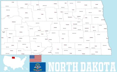
A large and detailed map of the State of North Carolina with all counties and main cities.
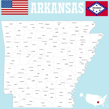
A large and detailed map of the State of Arkansas with all counties and county seats.

An outline map of TheUnited States of America showing the confederate states against the confederate flag

A cartoon illustration of the state of Texas smiling with rainbow flag colors.

USA Map vector illustration isolated on white background with country names in spanish. Editable and clearly labeled layers.
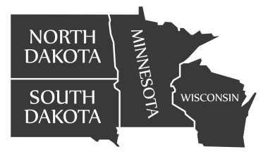
North Dakota - South Dakota - Minnesota - Wisoncsin labelled black illustration
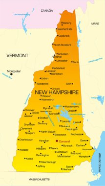
Vector color map of New Hampshire state. Usa

State map outline in 3D of Georgia over a white background
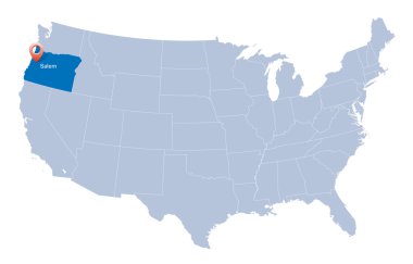
Map of USA with the indication of State of Oregon
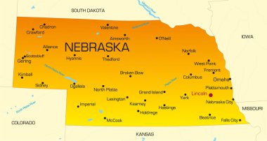
Vector color map of Nebraska state. Usa

Minnesota state detailed editable map with cities and towns, geographic sites, roads, railways, interstates and U.S. highways. Vector EPS-10 file, trending color scheme

Andhra Pradesh India Map black inverted silhouette

Madagascar map with flag inside and ribbon
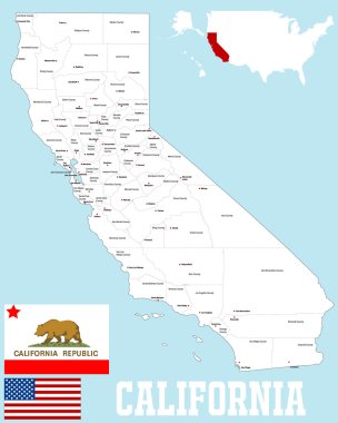
A large and detailed map of the State of California with all counties and county seats.

Indiana state outline administrative and political vector map in black and white

Map of Ukraine with national flag inside on white background. Independent state, yellow-blue state Ukrainian color. Glory to Ukraine. Vector illustration

Texas - Louisiana - Mississippi - Alabama - Florida Map labelled black illustration
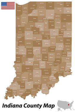
A detailed map of the State of Indiana with all counties and main cities.
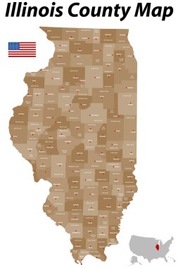
A large, detailed map of the State of Illinois with all counties and main cities.

Alaska state with beautiful natural scenery
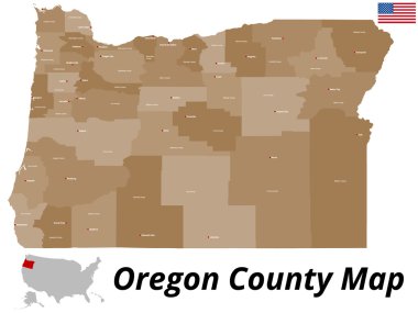
A large and detailed map of the State of Oregon with all counties and county seats.
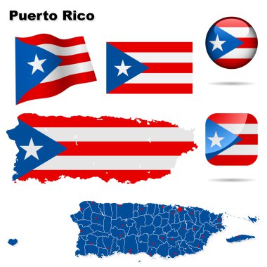
Puerto Rico vector set. Detailed country shape with region borders, flags and icons isolated on white background.

Taiwan Map with counties grey isolated
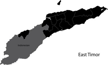
Black East Timor map with districts borders

Ontario Map Flag. Map of ON, Canada with the flag isolated on white background. Canadian province. Vector illustration.

A large and detailed map of the State of Ohio with all counties and county seats.
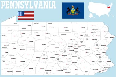
A large and detailed map of the State of Pennsylvania with all counties and county seats.

South America outline world map, vector illustration isolated on white. Map of South America continent, line silhouette concept

Map of Connecticut on white background, vector illustration

United States of America vector map with state borders. Gray map on white background.

Texas state map, star and name.

Haiti map vector, Haiti flag vector, isolated Haiti

A large and detailed map of the State of Virginia with all counties and county seats.

Thirteen Maps Provinces of Canada - alphabetical order with name. Every single map of Province are listed and isolated with wordings and titles. Canada. EPS 10.

A large and detailed map of the State of Montana with all counties and main cities.

A large and detailed map of the State of Michigan with all counties and county seats.
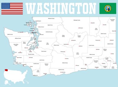
A large and detailed map of the State of Washington with all counties and county seats.
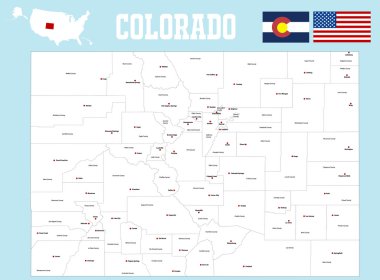
A large and detailed map of the State of Colorado with all counties and county seats.

Florida map isolated on white background, Florida state, United States.

Set of 3D images of the State of Maryland with icons.
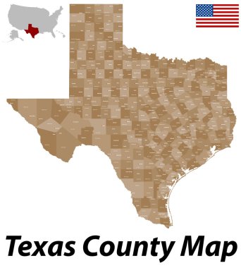
A large and detailed map of the State of Texas with all counties and county seats.

Ontario Map. Canada state with cities and towns

Silhouette of the state of Israel, located in Africa. Isolated line vector on white background.
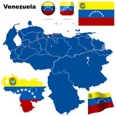
Venezuela vector set. Detailed country shape with region borders, flags and icons isolated on white background.

USA Map vector illustration. Editable and clearly labeled layers.

Black outline of USA map

Florida Map Flag. Map of FL, USA with the state flag isolated on white background. United States, America, American, United States of America, US State. Vector illustration.

A large and detailed map of the State of Louisiana with all counties and county seats.

Illustration of State of Tennessee, USA

The seal of the United States of American state TEXAS isolated on a white background.
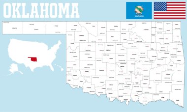
A large and detailed map of the State of Oklahoma with all counties and county seats.

Map of Florida on white background, vector illustration
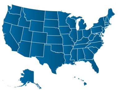
United States of America Vector Map. Cartography collection.
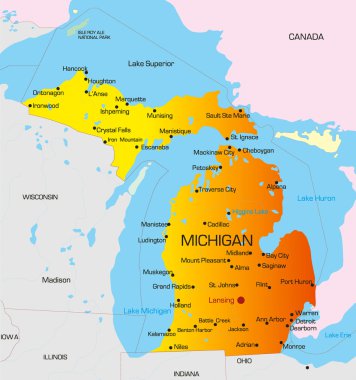
Vector color map of Michigan state. Usa

Madagascar map and flag vector, Madagascar map, Madagascar flag

Map of California on white background, vector illustration

Australia Map with states and labels black illustration

Hawaii USA Map in grey vector high res
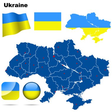
Ukraine vector set. Detailed country shape with region borders, flags and icons isolated on white background.

Henderson Nevada city map USA labelled black illustration

Slovakia vector set. Detailed country shape with region borders, flags and icons isolated on white background.
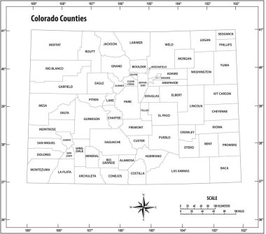
Colorado state outline administrative and political vector map in black and white

Set of 3D images of the State of Louisiana with icons.

Moravskoslezsky Kraj Czech Republic Map in grey

Chile regions Map grey

Vector file usa and cuba flags
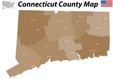
A large, detailed map of the State of Connecticut with all counties and big cities.