
Address silver plated metallic icon
Modern gps map icon

Address blue gradient vector icon

Tamil Nadu Highlighted in India Map vector illustration

Address yellow glowing neon icon

Local pointer vector line icon, sign, illustration on white background, editable strokes

Address blue and red four color minimal icon set

Greater Poland of Poland map shape, travel web flat concept icon vector illustration .

Address Flat four color minimal icon set

A colorful map of the Bahia State and its location in Brazil

Address four color glass button icon

Map of Middle East with highlighted United Arab Emirates map, gray map of UAE with neighboring countries

Colored background with different accessories

Kannauj District Highlighted in Uttar Pradesh State Map of India

Address gold plated metalic icon or logo vector

USA map with state location

Address Green and yellow modern 3d vector icon logo

Map of Verginia state

Address minimal bright yellow material icon

Map of Tennessee state

Address four color glowing neon vector icon

Shravasti District Highlighted in Uttar Pradesh State Map of India

Address golden line premium logo or icon
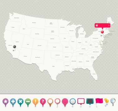
Navigation icons for pinpointing locations on a USA map.

Tennessee map shape, united states of america. Flat concept icon symbol vector illustration .

Travel poster, urban street plan city map Boston and Philadelphia, vector illustration

Prayagraj District Highlighted in Uttar Pradesh State Map of India

Map of New-York state

Hand made map of United States and the Hawaii and Alaska. Include all states. Vector graphic.

Norway with orange placeholder pin on europe map, close up Norway, vacation and road trip concept, pinned destination, travel idea, top view, colorful map with location icon

Map of the Islamic Republic of Afghanistan with the provinces colored in bright colors

Boston USA City Map in Retro Style. Outline Map. Vector Illustration.

Black location map of Madrilenian Fuencarral-El Pardo neighborhood inside gray map of Madrid, Spain

San Antonio city map poster. Map of San Antonio street map poster. San Antonio map vector illustration.

Map of the Republic of El Salvador with the departments

Map of Middle East with highlighted Bahrain map, gray map of Bahrain with neighboring countries

Set of Texas state flag. Vector illustration.
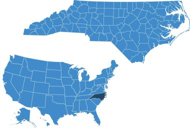
Map of North Carolina state

Denmark map with shapes of regions. Blank vector map of the Country with regions. Borders of the country for your infographic. Vector illustration.

Map of the Republic of Guatemala with the departments

Netherlands vector map. Editable template with regions, cities, red pins and blue surface on white background.

Outline map of Warsaw white background. The capital of Poland. Vector map with contour.

Vector United States (USA) map with pointers isolated (closed paths)

Oregon map with capital city

Ukraine map with areas in flat, vector illustration

Administrative divisions of Ukraine

A collection of maps of all the U.S. States in gray color. Maps with neighboring states.

Seattle USA City Map in Retro Style. Outline Map. Vector Illustration.
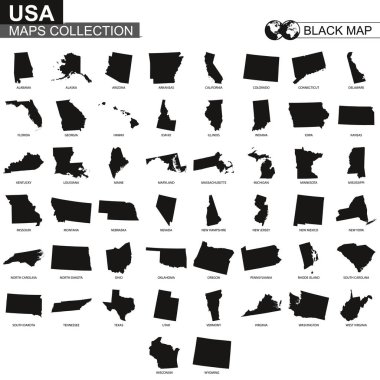
Maps collection of USA states, black contour maps of US state. Vector set.

Washington state gray maps. Vector illustration.

Map of Guatemala green highlighted with neighbor countries.

Colorful map of the Brazil south region isolated on white background

District of Columbia on USA Map. District of Columbia flag and map. US States.

Vermont State on USA Map. Vermont flag and map. US States.

Set of Tennessee map shape, united states of america. Flat concept vector illustration .

New Jersey map, united states of america. Flat concept icon symbol vector illustration .

High detailed United States map with set of info graphics elements, flat trendy vector illustration

Collection of low-polygon maps of U.S. states with a state capital sign. Maps sorted alphabetically.

Sweden with red fastener pushpin on europe map, close up Sweden, pinned destination, travel idea, colorful map with location icon, vacation and road trip concept, top view

Korea Gangwon-do English map illustration

Map of USA with highlighted Massachusetts map, gray map of US State Massachusetts with neighboring countries

City map Phoenix, , Arizona, United States

South America with highlighted Colombia map. Vector Illustration

Travel poster, urban street plan city map Phoenix and Las Vegas, vector illustration

Portugal blueprint map template with capital city. Lisbon marked on blueprint Portuguese map. Vector illustration.

Vector map of Poland administrative divisions colored by provinces with neighbouring countries. Polish names gives in parentheses, where they differ from the English ones

Texas map with capital city

Stylized vector Mali map showing big cities, capital Bamako, administrative divisions.
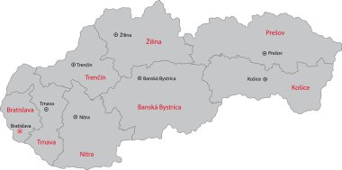
Map of administrative divisions of Slovakia

Urban vector city map of Lansing, USA. Michigan state capital

Administrative divisions of Ecuador

Eight flags the States of Australia - alphabetical order with name. Set of 2d geolocation signs like flags States of Australia. Eight 2d geolocation signs for your design. EPS10.

El Salvador map with department borders

Vector set of Netherlands country. Isometric 3d map, Netherlands map, Europe map - with region, state names and city names.

Vector set of Republic of Ireland. Isometric 3d map, Republic of Ireland map, Europe map - with region, state names and city names.

The South Region map and its location in Brazil

Map of the Republic of Colombia with the regions colored in bright colors and the main cities

State San Luis Potosi of Mexico map on transparent background. Blank map of San Luis Potosi with regions in gray for your web site design, logo, app, UI. Mexico. EPS10.

Stencil map of Belgium. Simple and minimal transparent map of Belgium. Black rectangle with cut shape of the country. Stylish vector illustration.

Jhabua District Map Highlighted on Madhya Pradesh State Map
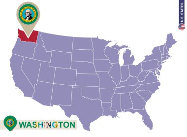
Washington State on USA Map. Washington flag and map. US States.

Map of Jamaica with the parishes the capital cities

Location of Rio Grande do Sul on map Brazil. 3d Rio Grande do Sul location sign similar to the flag of Sao Paulo. Quality map with regions of Brazil. Federal Republic of Brazil. EPS10.
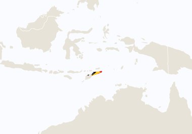
Asia with highlighted East Timor map. Vector Illustration

Map Free State of Bavaria on transparent background. Bavaria map with districts in gray for your web site design, logo, app, UI. Land of Germany. EPS10.

Vector map of New York, USA, United States. Street map poster illustration. New York map art.

Political map of North American countries Canada, United States of America and Mexico with administrative divisions. Solid gray blank map with white borders. Vector illustration
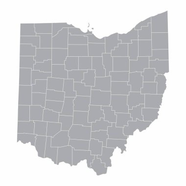
A map of the Ohio State and its counties

Map design concept of white color isolated on peacock blue background of Country Angola - Vector illustration

Vector set of Canada country. Isometric 3d map, Canada map, North America map - with region, state names and city names.

Map of administrative divisions of Kyrgyzstan

Turkey map designed in illustration with regions colored in bright colors

Abstract Denmark map isolated on a white background. Triangular mesh model in black color of Denmark map. Polygonal geographic scheme designed for political illustrations.

Georgia state map. Vector illustration.

Light grey and white San Antonio city area vector background map, streets and water cartography illustration. Widescreen proportion, digital flat design streetmap.

Korea Jeollabuk-do English map illustration

Vector map of Peru. Country map with division, cities and capital Lima. Political map, world map, infographic elements.

Map of administrative divisions of Republic of Belarus
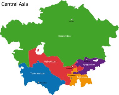
Colorful Central Asia map with countries and capital cities

Vector map of the city of Austin, Texas, USA