
Address golden line premium logo or icon
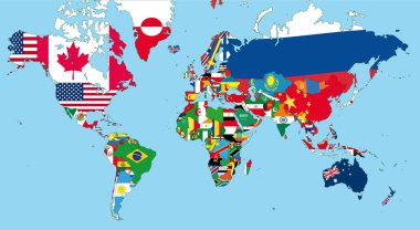
The world map with all states and their flags

Address blue gradient vector icon
Modern gps map icon

Address Flat four color minimal icon set

United States of America Map

Address silver plated metallic icon

Map state of North Carolina

Address four color glass button icon
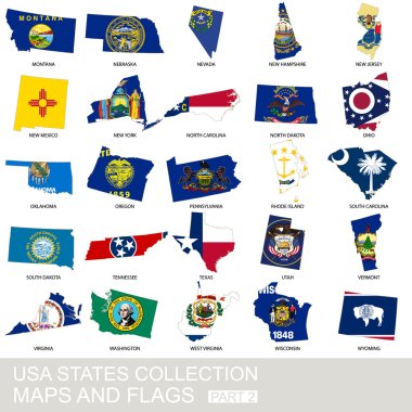
USA state collection, maps and flags, part 2

Address gold plated metalic icon or logo vector

Set of the USA maps. All objects are independent and fully editable.

Address Green and yellow modern 3d vector icon logo

USA state collection, maps and flags, part 1

Address minimal bright yellow material icon
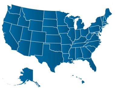
United States of America Vector Map. Cartography collection.

Address four color glowing neon vector icon
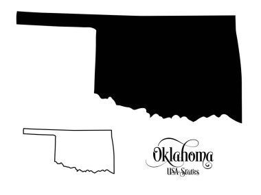
Map of The United States of America (USA) State of Oklahoma - Illustration on White Background.

Address yellow glowing neon icon

Alaska line art map from colorful curved lines

Address blue and red four color minimal icon set

United States of America maps and Virginia state territory. vector USA political map. US election assistance app for smart phone. technology banner

Alabama map on a brick wall - Illustration, The state of Alabama map with flag inside

Minimalist vector set of three German city-state maps Berlin, Hamburg, Bremen with heart icons and handwritten German text Mit Liebe aus... under each map. Black lines on white background.

Map of Tijuana, satellite view, black and white map. Street directory and city map. Mexico, California

Map state of Massachusetts

Map of Colorado

Map of Utah
Map, location and destination markers and icons

100 government icons set in flat style for any design vector illustration

Black and white vector Illustration of Map of Japan

Map of the Mexican Republic or Mexico with political division and points where the capital of each state is

United States of America isolated map and Florida state territory. vector USA political map. geographic banner design
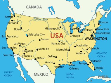
The United States of America - vector map

Outline maps of USA states collection, black lined vector map.

Map of The United States of America (USA) Divided States Maps Outline Illustration on White Background
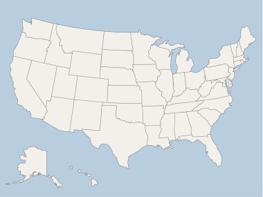
Vector map of the united states of america, each state is in seperate layer thus can be edited easily vector map of the united states of america, each state is in seperate layer thus can be edited easily

The United States of America (USA), commonly known as the United States (U.S.) or America, is a federal republic composed of 50 states, a federal district, five major self-governing territories, and various possessions. At 3.8 million square miles (9
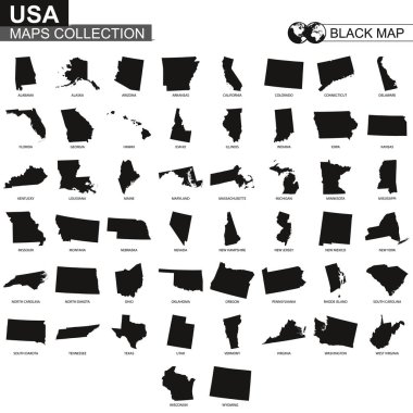
Maps collection of USA states, black contour maps of US state. Vector set.
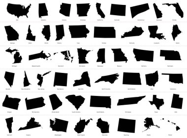
The United States of America (USA), commonly known as the United States (U.S.) or America, is a federal republic composed of 50 states, a federal district, five major self-governing territories, and various possessions. At 3.8 million square miles (9

Outline maps of American countries collection, black lined vector map.

New Zealand blank detailed outline map set

Quebec blank outline map set

Map of tennessee in virginia

Map of the American continent and the USA with Hawaii and Alaska

The United States of America - vector map USA

Black and white vector Illustration of Map of Central America

France map

Map of The United States of America (USA) Silhouette Illustration on White Background.

Colorful USA map with states and capital cities

Argentina blank detailed outline map set

Oregon map with capital city

USA map in four versions isolated on white and black background
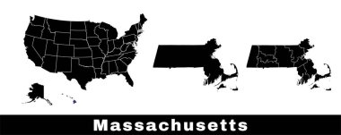
Massachusetts state map, USA. Set of Massachusetts maps with outline border, counties and US states map. Black and white color vector illustration.
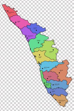
Kerala map with all the 14 districts highlighted in different colours. Names of the respective districts are given in Malayalam and English languages.

Catalonia administrative and political vector map with flag.

Color map of the United States with names

Usa country maps set on background

Black Map of Poland - Detailed map of Poland vector illustration - All elements are separated in editable layers clearly labeled.

Georgia map with capital city

Blank outline map of Europe with Caucasian region. Simplified wireframe map of black lined borders. Vector illustration.

Ireland

Ishikawa prefecture highlighted on the map of Japan on white background

United States of America isolated map and North Carolina State territory. vector USA political map. geographic banner template

United States map with regions on white background

America federal maine icon in Outline style

Map of Spain devided to 17 administrative autonomous communities. Simple flat vector map in shades of turquoise blue.
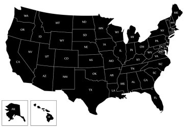
Map of the USA with name of each states and with black color.

Political map of United States with all states where Wisconsin is pulled ou

America city federal icon in Outline style

Portugal blank detailed outline map set

Tamil Nadu Highlighted in India Map vector illustration

Ontario Map. Canada state with cities and towns

Piaui map with map pin

Texas map with capital city

Catalonia administrative and political vector map

Political map of Europe continent in four shades of grey. With whole european part of Russia and Kazakhstan. Vector illustration.

Rhode island map with capital city

3d isometric relief map of United States with shadow

High detailed map of Bosnia and Herzegovina. Outline map of Bosnia and Herzegovina. Europe

Portuguese Republic isolated map and official flag icon. vector Portugal political maps illustration. European State travel banner template

Every state is in its own shape.

Map of Georgia state, USA. Set of Georgia maps with outline border, counties and US states map. Black and white color vector illustration.

Pennsylvania State (USA) Map with Set of Infographic Elements in Blue Color in Dark Background. Modern Information Graphics Element for your design.
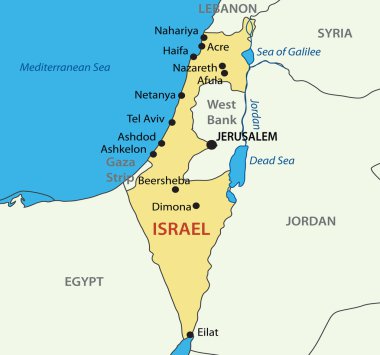
State of Israel - vector map
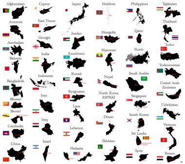
Countries of Asia

Ceara map with map pin

Modern Map - Brasil with districts BR vector

Map of Florida state, USA. Set of Florida maps with outline border, counties and US states map. Black and white color vector illustration.

Vector Map of Spain with Administrative borders, City and Region Names and international bordering countries in soft colors palette
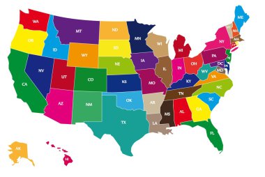
Detail color map of USA with name of states.

Illinois map with capital city

Blank outline map of Europe. Simplified wireframe map of black lined borders. EPS10 vector illustration.

Kingdom of Norway isolated map and official flag icons. vector Norwegian political maps icon. Scandinavian Country geographic banner template. travel and business concept maps

The Peru map divided into regions with labels

Illustration set of italy province and region maps

Australia blank detailed outline map set

The Spain regions map isolated on white background

The United States of America (USA), commonly known as the United States (U.S.) or America, is a federal republic composed of 50 states, a federal district, five major self-governing territories, and various possessions. At 3.8 million square miles (9

Czech Republic isolated map and official flag icons. vector Czech political thin line style map. European country geographic banner template. travel and business concept maps