
Map of the U.S. state of Washington on a white background

Set of symbols and architectural landmarks of the United States of America
Washington blank outline map set

USA map with magnified Washington State. Washington flag and map.

Map markers with flag of US state Washington, 3 color versions.
Washington state with beautiful view
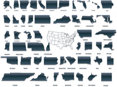
United States of America set in a nice plastic version.

Minimal city map of Washington, D.C. (United States North America)

Washington State travel poster or sticker. Vector illustration of rugged shoreline and lighthouse. Cape Disappointment State Park.

Label or sign with name of Seattle, Washington, USA, vector illustration

Washington D.C. City Line Silhouette Typographic Design

Map of the U.S. District of Columbia
Washington simple logo. State map outline - smooth simplified US state shape map vector.
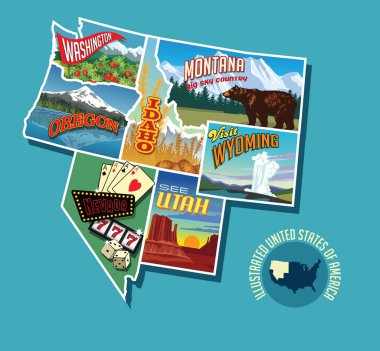
Illustrated pictorial map of Northwest United States. Includes Washington, Oregon, Idaho, Montana, Wyoming, Nevada and Utah. Vector Illustration.

United States Capitol Building in Washington DC

Washington. Hand drawn US state name isolated on white background. Modern calligraphy for posters, cards, t shirts, souvenirs, stickers. Vector lettering typography

Washington State postage stamp design. Vector illustration of rugged shoreline and lighthouse. Cape Disappointment State Park. Grunge postmark on separate layer.
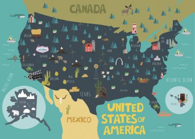
Illustration map of USA with landscape. Vector illustration

Vector collection of United States city skylines
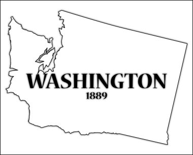
A Washington state outline with the date of statehood isolated on a white background

Highly detailed vector design of a monochromatic embossed, gold official Seal of the President of the United States aginst White.
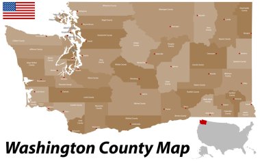
A large and detailed map of the State of Washington with all counties and county seats.

Vintage stamp with text The Evergreen State written inside and map of Washington, vector illustration

Map of the U.S. state of Washington

Washington (iconic buildings) background
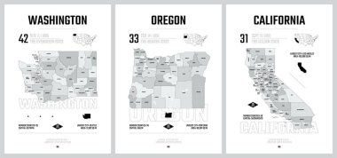
Highly detailed vector silhouettes of US state maps, Division United States into counties, political and geographic subdivisions of a states, Pacific - Washington, Oregon, California - set 16 of 17
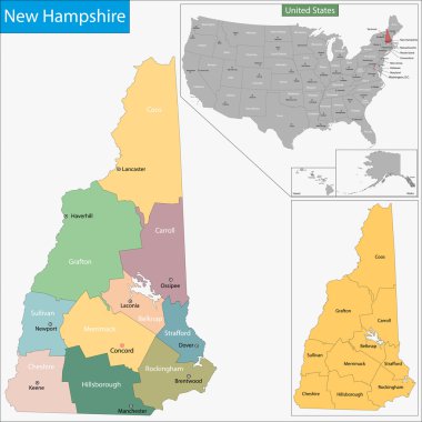
Map of New Hampshire state designed in illustration with the counties and the county seats

Us interstate highway, administrative and political vector map

Road map of the US American State of washington
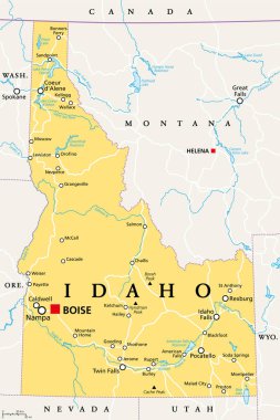
Idaho, ID, political map with the capital Boise, borders, important cities, rivers and lakes. State in the Pacific Northwest region of the Western United States of America, nicknamed Gem State. Vector

Vector Illustration of the Flag Map of USA Federal State of North Carolina

Flag USA. United States of America flag - usa - with List of Presidents of the United States. Print for t-shirt of USA flag with names presidents. Vintage hand-drawn. typographic. Vector Illustration

Vector cartoon style illustration of first President of the United States from 1789 to 1797.
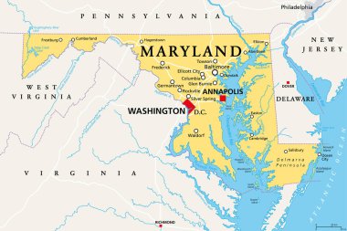
Maryland, MD, political map. State in the Mid-Atlantic region of the United States of America. Capital Annapolis. Old Line State. Free State. Little America. America in Miniature. Illustration. Vector
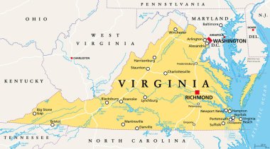
Virginia, VA, political map. Commonwealth of Virginia. State in Southeastern and Mid-Atlantic region of the United States. Capital Richmond. Old Dominion. Mother of Presidents. Illustration. Vector.

Modern City Map - Washington DC city of the USA with neighborhoods and titles

Washington evergreen state with beautiful view
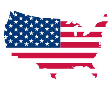
Map of the USA on white

Washington DC city map with neighborhoods grey illustration silhouette shape
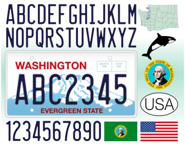
Washington US State car license plate, letters, numbers and symbols, United States, vector illustration
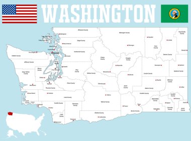
A large and detailed map of the State of Washington with all counties and county seats.
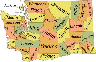
Pastel vector administrative map of the Federal State of Washington, USA with black borders and name tags of its counties

Vector illustration of the Welcome to Washington "The Evergreen State" road sign

7 of 50 states of the United States with a name, nickname, and date admitted to the Union, Detailed Vector Maryland Map for printing posters, postcards and t-shirts

Silhouette George Washington. American president, vector illustration

United States Capitol Congress in Washington DC, USA. Flat cartoon style historic sight showplace attraction web vector. World countries cities vacation travel sightseeing North America collection.

Washington with mountains and trees in the background

Grey Flat Election Counties Map of the USA Federal State of Kentucky

Seattle Washington United States of America

United States Capitol building in Washington DC on background of the map

Washington, West Virginia travel stickers with scenic attractions and retro text on vintage suitcase background

Washington DC city silhouette. washington dc. vector illustration.

Seattle, Washington skyline illustration with reflection in water
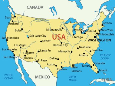
The United States of America - vector map
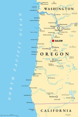
Oregon coast, political map. Coastal region of U.S. state of Oregon, bordered by Pacific Ocean to the west and Oregon Coast Range to the east, stretching from Columbia River to the California border.

Capital government building logo

United States of America - Highly detailed editable political map with labeling.

District of Columbia blank outline map set
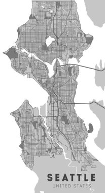
City map Seattle, monochrome detailed plan, vector illustration. Washington.

US Coat of Arms. Vector emblem of the United States.

Vintage vector round label. Washington. Island National park

Map of California state designed in illustration with the counties and the county seats

Circle Icon Capitol hill. vector illustration

Circle Icon Washington Monument. vector illustration

Grunge rubber stamp with name of Washington, Seattle

Woodcut Illustration of Space Needle in Seattle Washington

Maryland - Highly detailed editable political map with labeling.

Athletic sport typography, t-shirt graphic.
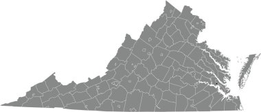
Black highlighted location map of the Williamsburg independent city inside gray administrative map of the Federal State of Virginia, USA
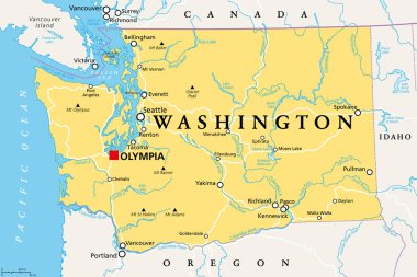
Washington, WA, political map with the capital Olympia. State in the Pacific Northwest region of the Western United States of America. State of Washington, with nickname The Evergreen State. Vector.
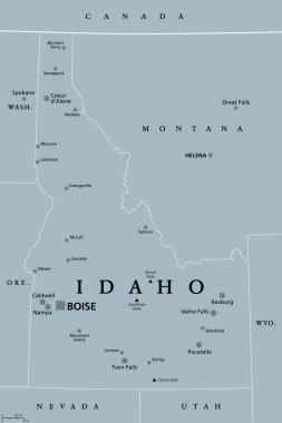
Idaho, ID, gray political map with capital Boise, borders, important cities, rivers and lakes. State in the Pacific Northwest region of the Western United States of America nicknamed Gem State. Vector

Outline Washington DC USA City Skyline with Modern Buildings Isolated on White. Vector Illustration. Washington DC Cityscape with Landmarks.

Washington - Oregon - Idaho - Montana Map labelled black illustration

Washington state with green background
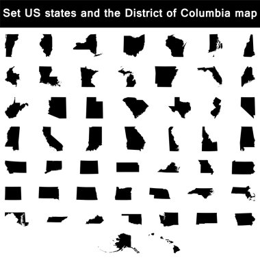
Vector illustration vector illustration set of US states maps
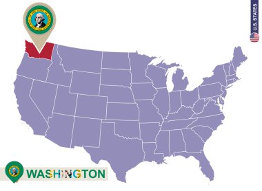
Washington State on USA Map. Washington flag and map. US States.
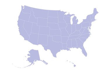
USA Map Silhouette on white background

State of Washington with the name distorted into state shape. Pop art style vector illustration for stickers, t-shirts, posters, social media and print media.
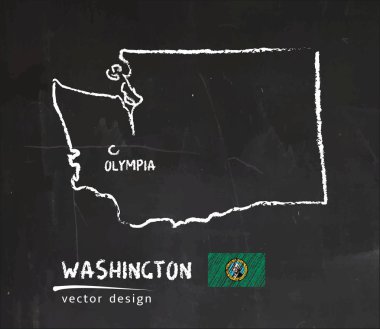
Map of Washington, Chalk sketch vector illustration

Washington poster in retro style. Map of the us state with regions in autumn color palette. Shape of Washington with us state name. Cool vector illustration.
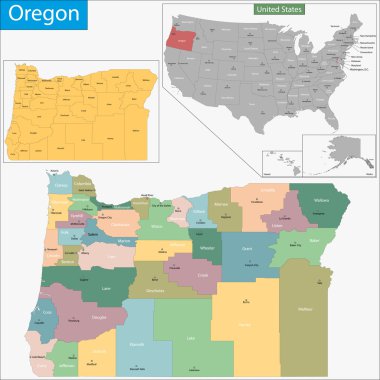
Map of Oregon state designed in illustration with the counties and the county seats

Dc capitol building in silhouette with flag in forefront in color
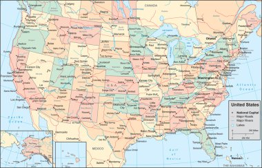
This image is a vector illustration and can be scaled to any size without loss of resolution.

Detailed Washington state map, highly detailed territory and road plan, vector illustration

Seattle, Washington skyline. Detailed vector silhouette
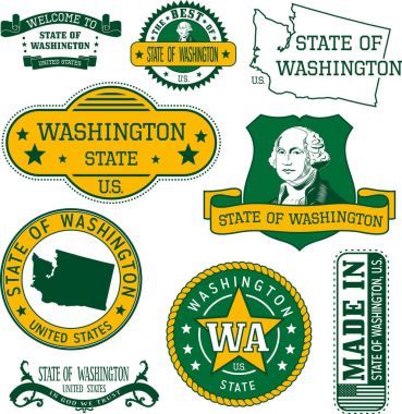
Set of generic stamps and signs of Washington state

New Hampshire, NH, political map, with capital Concord. State in the New England region of the United States of America. The Granite State. The White Mountain State. Illustration over white. Vector.

Washington state blank outline map
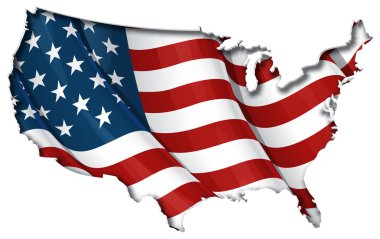
USA map cut-out, highly detailed on the edge, with a waving stars & stripes underneath. Settle thickness on the cut-out, shaded so to following the inner shadow light source. EPS v.10 with well organised and accordingly named layers.

Washington map icon. Washington icon vector

Washington state flag. Vector illustration.

United States Vector map with the flag inside. American flag with American map design Template.

Washington Logo. Map of Washington with us state name and flag. Cool vector illustration.
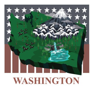
Washington state map, vector illustration

Grunge rubber stamp with name of Washington, Seattle, vector illustration

Map of Commonwealth of Kentucky designed in illustration with the counties and the county seats
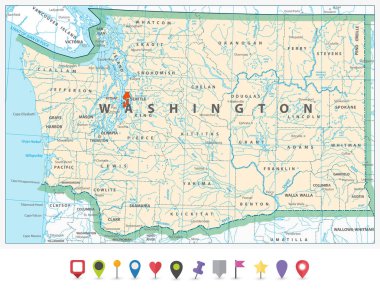
Washington state detailed map and flat icon set.

The Virginias, political map. The two Virginias, two states in the Southeastern and Mid-Atlantic regions of the United States. Virginia with capital Richmond and West Virginia with capital Charleston.

USA, historical flag, battle of Bennington, year 1777, United States of America, vector illustration

Map of washington state