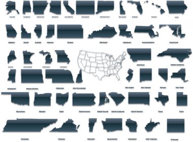
United States of America set in a nice plastic version.

Set of the USA maps. All objects are independent and fully editable.

Outline Political US Map with titles of the states. All USA regions are separated and named in a layer panel
Blank outline map of United States of America. Simplified vector map made of black outline on white background
United States map, High detailed border

Map of United States of America, USA, with state postal abbreviations. Simple black outline map.

North Carolina, state of USA - solid black outline map of country area. Simple flat vector illustration.

Louisiana blank outline map set
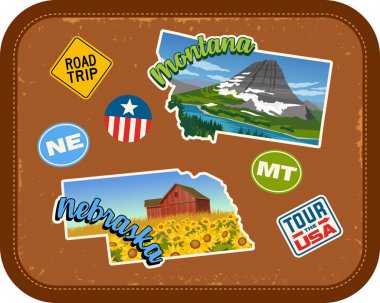
Montana, Nebraska travel stickers with scenic attractions and retro text on vintage suitcase background

Tennessee blank outline map set

Blue abstract outline of Arkansas map

Blue abstract map of Arizona
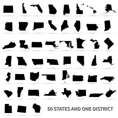
United States of America 50 states and 1 federal district. US states map.

Mississippi blank outline map set

Montana blank outline map set

Pennsylvania blank outline map set

United States of America set in a nice glossy version.

Iowa blank outline map set

Oregon blank outline map set
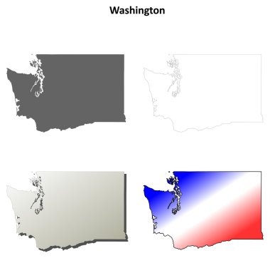
Washington blank outline map set
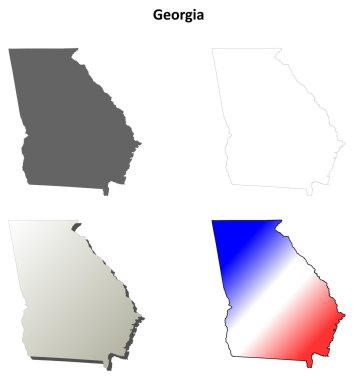
Georgia blank outline map set

Virginia, state of USA - solid black outline map of country area. Simple flat vector illustration.

Texas blank outline map set

Florida blank outline map set
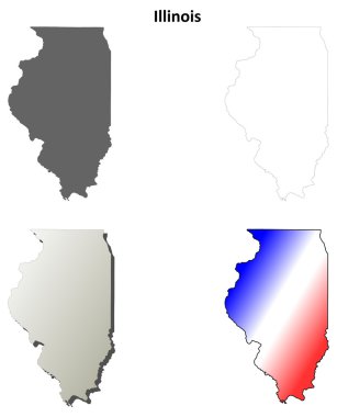
Illinois blank outline map set
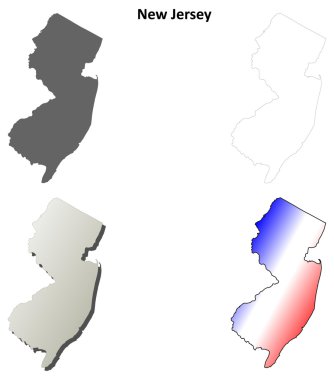
New Jersey blank outline map set
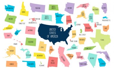
USA map with separated states. Colorful outlines of the 50 states with labels

Russia map blue white card paper 3D vector

Wisconsin, Wyoming travel stickers with scenic attractions and retro text on vintage suitcase background

Map of Russia - Vector Outline Illustration

North Dakota, Oklahoma travel stickers with scenic attractions and retro text on vintage suitcase background
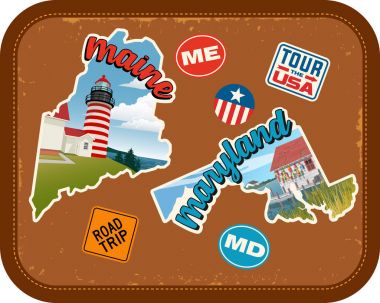
Maine, Maryland travel stickers with scenic attractions and retro text on vintage suitcase background

World political map card paper 3D natural vector individual states separate
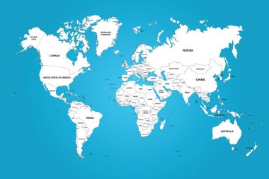
The world map with the frontiers and country names. The vector image has the grouped layers for each country. All of the countries groups ordered by the alphabet.
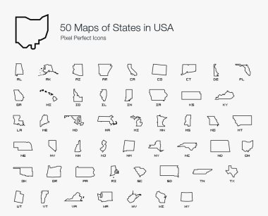
All 50 USA States Map Pixel Perfect Icons (Line Style). Vector icons of the complete United States of America states map.

Blank black vector outline map of USA, United States of America.

Doodle Map of Vanuatu With States

New Jersey, state of USA - solid black outline map of country area. Simple flat vector illustration.

World map with country borders, thin black outline on white background

Simple contour map of Germany. Black outline vector map isolated on white background.

New Hampshire NH State Border USA Map Outline

Blank map of World with thin black smooth country borders on white background. Simplified flat vector illustation.

Contour map of the USA. Source of map:

Mozambique - solid black outline border map of country area. Simple flat vector illustration.

Greece - solid black outline border map of country area. Simple flat vector illustration.

Tennessee map shape, united states of america. Flat concept icon symbol vector illustration .

Map of Russia - Vector Outline Illustration

Highly detailed vector silhouettes of US state maps, Division United States into counties, political and geographic subdivisions of a states, East North Central - Illinois, Indiana, Ohio - set 4 of 17
Blue abstract map of United States

A vector gray line map of the Punjab State of India.

Black outline map of World. Simple vector illustration.

Democratic Republic of the Congo - solid black outline border map of country area. Simple flat vector illustration.
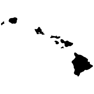
Map of the U.S. state of Hawaii

Blue abstract outline of Tennessee map

West Virginia WV State Border USA Map Outline

Texas state of United States of America, USA. Simplified thick black outline map. Simple flat vector illustration

Idaho line art map from colorful curved lines

Maryland state blank outline map
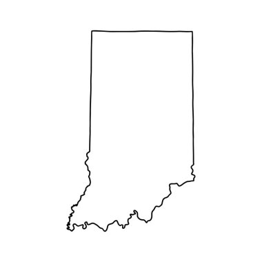
Outline map of Indiana white background. USA state, vector map with contour.

Mexico - solid black outline border map of country area. Simple flat vector illustration.

Vector political map of world. Black outline on white background with country name labels.

World map with smoothed country borders. Thin black outline on white background

Vector political map of world. Black outline on white background with country name labels.

Outline Simple Map of Brazil

Montana state map. US state map. Montana outline symbol. Vector illustration

New York map outline - US state shape sharp polygonal geometric style vector.

Blue abstract outline of West Virginia map

Italy - solid black outline border map of country area. Simple flat vector illustration.

Blank outline map of United States of America. Simplified vector map made of black outline on white background.

Brazil - solid black outline border map of country area. Simple flat vector illustration.

Tanzania - solid black outline border map of country area. Simple flat vector illustration.

Venezuela - solid black outline border map of country area. Simple flat vector illustration.

North Dakota ND State Border USA Map Outline

Map of Canada divided into 10 provinces and 3 territories. Administrative regions of Canada. Blank white map with black outline. Vector illustration.
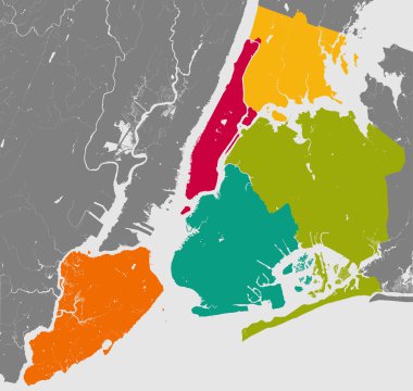
High resolution outline map of New York City with NYC boroughs. Each boroughs placed on a separate layer.

Political map of Africa. Simplified black wireframe outline. Vector illustration.

World map with country borders, thin black outline on white background. Simple high detail line vector wireframe.

Guatemala map outline vector with administrative borders, regions, municipalities, departments in black white colors. Infographic design template map.

Map of Victoria Australia. Black and outline maps. EPS Vector File.
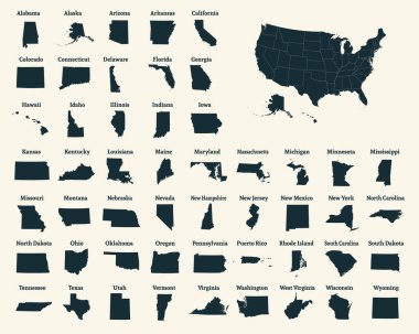
Outline map of the United States of America. 50 States of the USA. US map with state borders. Silhouette of the USA. Vector illustration.

Northern Ireland blank detailed outline map set
Abstract blue map of Texas
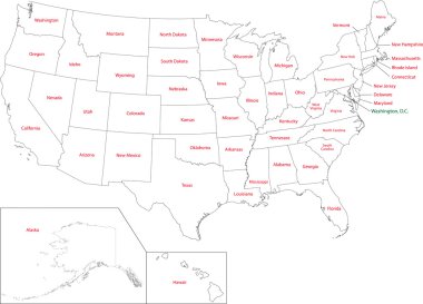
Outline USA map with states

San Luis Potosi state blank outline map

Philippines - solid black outline border map of country area. Simple flat vector illustration.

Doodle Map of Poland With States

Map of the U.S. state of Massachusetts

Thailand - solid black outline border map of country area. Simple flat vector illustration.

The Florida State outline map isolated on white background

United Kingdom of Great Britain and Northern Ireland, UK - solid black outline border map of country area. Simple flat vector illustration.

Hawaii blank outline map set

Guatemala blank detailed outline map set - vector version
Concept map of Texas, vector design Illustration

San Juan province blank vector outline map set

US State Maps with flag collection, nine USA map contour with flag of Georgia, Hawaii, Idaho, Illinois, Indiana, Iowa, Kansas, Kentucky, Louisiana

Spain - solid black outline border map of country area. Simple flat vector illustration.

Illustration of State of New York, USA

Florida line art map from colorful curved lines
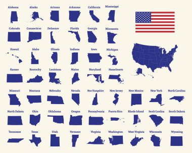
Outline map of the United States of America. 50 States of the USA. US map with state borders. Silhouette of the USA and flag. Vector illustration.

Blank outline map of Europe. Simplified wireframe map of black lined borders. EPS10 vector illustration.