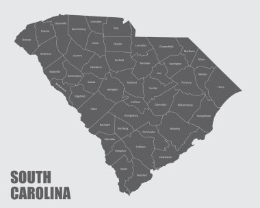
The South Carolina isolated map and its counties with labels
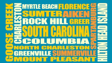
Image relative to USA travel. South Carolina cities and places names cloud.
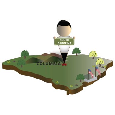
South carolina state map
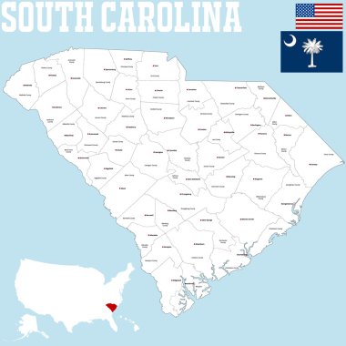
A large and detailed map of the State of South Carolina
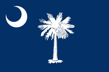
South Carolina vector flag. Vector illustration. United States of America.

South Sumter (South Carolina) blank outline map
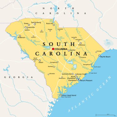
South Carolina, SC, political map, with the capital Columbia, largest cities and borders. State in the southeastern region of the United States of America. The Palmetto State. Illustration. Vector.
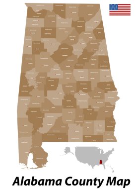
The state of Alabama with all counties and cities.

Map of south carolina state

A large and detailed map of the State of South Carolina with all counties and county seats.

Large and detailed map of Sumter County in Alabama
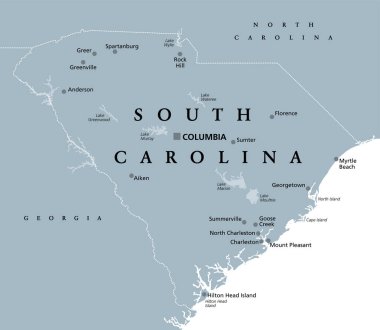
South Carolina, SC, gray political map, with capital Columbia, largest cities and borders. State in the southeastern region of the United States of America. The Palmetto State. Illustration. Vector.

Building view with landmark of Sumter is the city in South Carolina. Watercolor splash with hand drawn sketch illustration in vector.