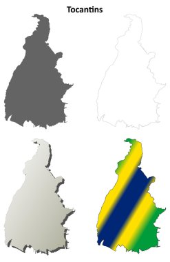
Tocantins blank outline map set on white
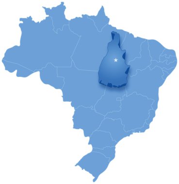
Political map of Brazil with all states where Tocantins is pulled out

Flag of Tocantins from brush strokes. Blank map of Tocantins. Federal Republic of Brazil. High quality map of Tocantins and flag on transparent background. Stock vector. EPS10.

High Quality map of Tocantins is a state of Brazil, with borders of the municipalities

Tocantins administrative and political map with flag
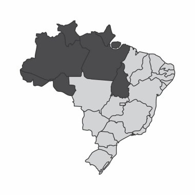
Illustration of a map of Brazil with the north region highlighted

A white map with the Brazilian hydrographic regions
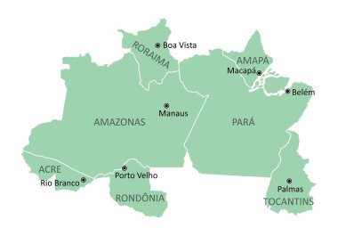
Map of the Brazil north region isolated on white background
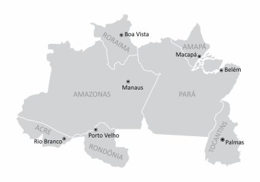
Map of the Brazil north region with the main cities isolated on white background
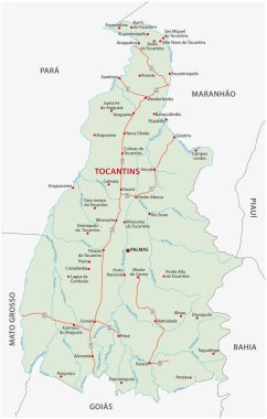
Road vector map of the brazilian state tocantins

Green Brazil map flag vector silhouette illustration isolated on white background. South America country. Brazil flag.

Green Brazil map flag vector silhouette illustration isolated on white background. South America country. Brazil flag.

Green Brazil map flag vector silhouette illustration isolated on black background. South America country. Brazil flag.
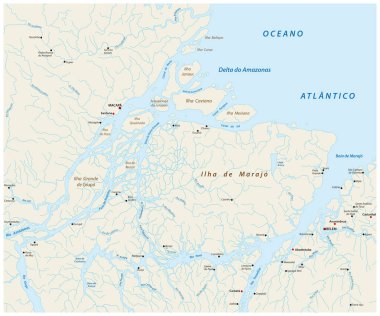
Detailed vector map of the mouth of the Amazon River in the Atlantic Ocean, Brazil
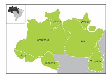
Map of the north region of Brazil with the identified states
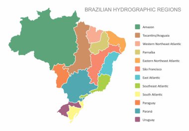
A colorful map with the Brazilian hydrographic regions and legend

The Tocantins State regions map with labels on white background, Brazil