
Road vector map of the Italian region Tuscany

Map of Italy

Colorful Tuscany map vector silhouette illustration isolated on white background. Toscana, Italy province vector map. Separated regions with borders. Italian territory, EU, Europe.

Green Tuscany map silhouette vector, Toscana, Italy province vector map illustration isolated on background. Separated regions with borders.
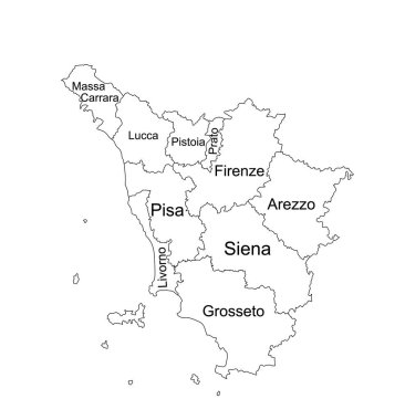
Editable Tuscany line contour map vector silhouette illustration isolated on white background. Toscana, scheme Italy province vector map. Separated regions with borders. Italian territory, EU, Europe.

Tuscany blank detailed outline map set

Tuscany (Autonomous region of Italy) map vector illustration, scribble sketch Toscana map

Tuscany region blank outline map set

Trentino-Alto Adige, Tuscany, Umbria, Veneto outline maps

Travel around Tuscany vector banner. A gift card with a retro motorbike
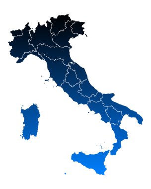
Map of Italy

Tuscany is a region of Italy, located in the central peninsular section of the country

Tuscany administrative and political map with flag
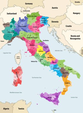
Italy provinces colored by regions vector map with neighbouring countries and territories

The grayscale map of Tuscany region with labels on white background

Tuscany regions map with labels isolated on white background

Map of Italy
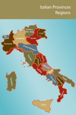
Map of Italy with provinces and regions name in italian

Road vector map of the Italian region Tuscany

Italy map of regions and provinces names in sketch lettering. Vector Italian flag of Sicily peninsula, Sardinia island or Venice Piemonte, Lombardia or Genoa and Alto Adige, Trentino and Toscana

Administrative map of the Metropolitan City of Florence, Tuscany, Italy

Map of Italy

Map of Italy
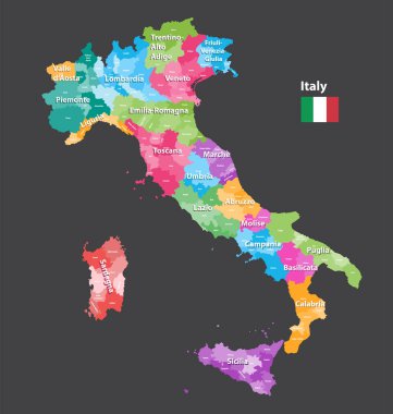
Vector Italy provinces map colored by regions. All layers detachable and labeled.

Set Flags of the states of Italy, All Italian regions flag collection

Coat of arms of the state of Italy, All Italian regions emblem collection
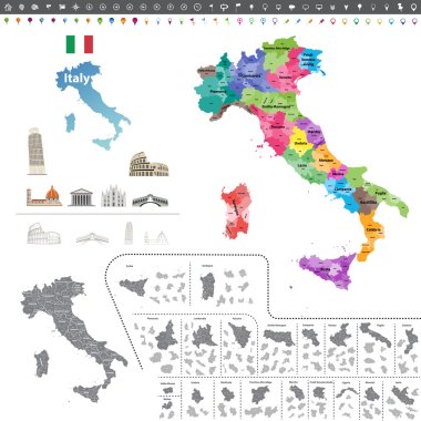
Vector Italy map colored by regions
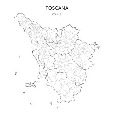
Vector Map of the Geopolitical Subdivisions of the Region of Tuscany (Toscana) with Provinces and Municipalities (Comuni) as of 2022 - Italy

Map of Italy

Map of Italy

Map of Italy

Map of Italia. hand drawn illustration. 20 regions.

Map of Italy

Map of Italy

Map of Italy
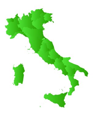
Map of Italy

Map of Italy

Map of Italy

Illustration of italy province and region maps
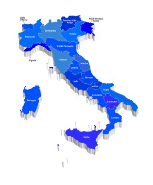
Vector map of Italy

Map of Italy
Map of Italy

Map of Italy

Repair workshop vector Tuscany region map mosaic and seals. Abstract Tuscany region map is designed of gradient scattered cogs. Engineering territory plan in gray and blue colors,

Vector map of the two mediterranean sea islands of corsica and sardinia

Map and flag of Italy

Map of Italy

Polygonal mesh map of Tuscany region in high detail resolution. Mesh lines, triangles and dots form map of Tuscany region.
Map of Italy

Graphic elaboration vector file

Pattern with old european houses and trees isolated on vintage background. Hand drawn sketch in doodle style. Vector image, clipart, editable details.

All Flags provinces of Italy. Vector illustraion

All flags of the Italy regions. vector illustrations

List of cities and towns in Italy composed in love sign heart shape, word cloud collage, business and travel concept background

List of cities in Italy, word cloud collage, travel concept background

List of cities in Italy, word cloud collage, travel concept background

List of cities in Italy, word cloud collage, travel concept background

Pattern with old european houses and trees isolated on vintage background. Hand drawn sketch in doodle style. Vector image, clipart, editable details.

Love collage Tuscany region map and distressed stamp seal with I Love You badge. Tuscany region map collage composed with randomized red heart icons.

Florence (Texas) blank outline map