
South America with highlighted Trinidad and Tobago map. Vector Illustration

Colorful Caribbean map with countries and capital cities

Illustration of a Caribbean Map with Flags and Location
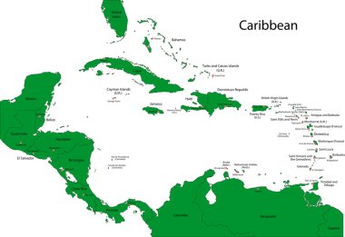
Caribbean map with countries
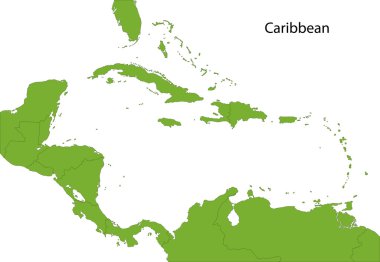
Caribbean map with countries
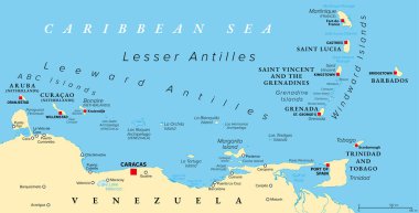
Hurricane free Caribbean islands, political map. The Leeward Antilles and Windward Islands are safest from Hurricanes. Aruba, Barbados, Bonaire, Curacao, Grenada, The Grenadines, Trinidad and Tobago.
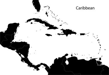
Caribbean map with countries
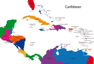
Caribbean map with countries

Caribbean -highly detailed map. Vector illustration
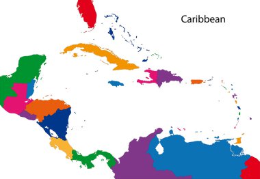
Colorful Caribbean map with countries
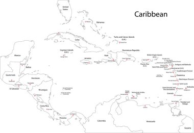
Caribbean map with countries

Trinidad and tobago national flag, vector illustration on a white background

UndefinedTrinidad and Tobago high detailed vector representation of country silhouette in solid black on white background. For educational, decorative, or informational use showcasing the national
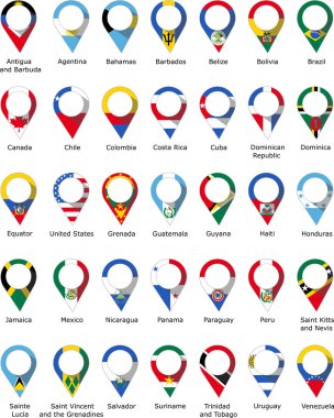
Flags in the form of a pin from the countries of America with their names written below

Simple flag Trinidad and Tobago icon isolated on white background

Set of Trinidad and Tobago pin, icon, map pointer flags. Vector illustration

America countries flags in pointer icons

America countries flags in pointer icons

Trinidad and Tobago flag map pin vector design template
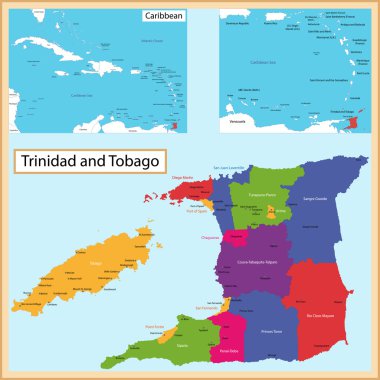
Map of the the Republic of Trinidad and Tobago drawn with high detail and accuracy. Trinidad and Tobago is divided into corporations which are colored with different bright colors

Location Map Trinidad and Tobago on map Central America. 3d Trinidad and Tobago flag map marker location pin. High quality map Trinidad and Tobago. Vector illustration EPS10.

Trinidad and tobago national flag, vector illustration on a white background

Trinidad and tobago national flag, vector illustration on a white background

Trinidad and Tobago blue Low Poly map with capital Port of Spain, versions with flag, black and outline. Vector Illustration.

Trinidad and tobago national flag, vector illustration on a white background

Set of 9 isometric map and flag, 3D vector isometric shape of Syria, Taiwan, Tajikistan, Tanzania, Thailand, Tibet, Togo, Tonga, Trinidad and Tobago, Tunisia

Colorful Caribbean map with countries and capital cities

Caribbean - highly detailed map. Vector illustration

Trinidad and tobago national flag, vector illustration on a white background

Flag of Trinidad and Tobago vector illustration

Caribbean -highly detailed map. Vector illustration

Isometric map of Trinidad and Tobago detailed vector illustration. Isolated 3D isometric country concept for infographic

Detailed vector map of Trinidad and Tobago and capital city Port of Spain

Trinidad and Tobago heart flag vector illustration

Trinidad and tobago national flag, vector illustration on a white background

Design Trinidad and Tobago flag waving vector

Trinidad and tobago national flag, vector illustration on a white background

Trinidad and Tobago Map Pin with National Flag on Open World Map.

Detailed Trinidad and Tobago Map Collection with Outline, Silhouette, Regions, and Flag Overlay Variations

Trinidad and tobago national flag, vector illustration on a white background

Trinidad and Tobago Location Highlighted on American Map with Flag Icon.

Trinidad and tobago national flag, vector illustration on a white background

Trinidad and Tobago country flag pin map marker