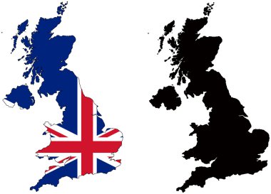
Layered editable vector illustration country map of The United Kingdom,which contains two versions, colorful country flag version and black silhouette version.

Detailed illustration of a 3D Map of Great Britain, eps10 vector

High Detail Colorful vector Map of United Kingdom Regions, Administrative divisions and major cities, with also a 3D globe centered on UK

Black and white map of the UK and Ireland

United Kingdom countries, UK regions and London vector map
Dotted Great Britain map on white
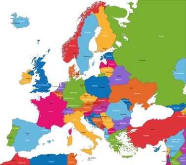
Colorful Europe map with countries and capital cities

Illustration of the british isles in different shades of green isolated from the background

Attractive United Kingdom travel map with attractions

Administrative divisions of the United Kingdom
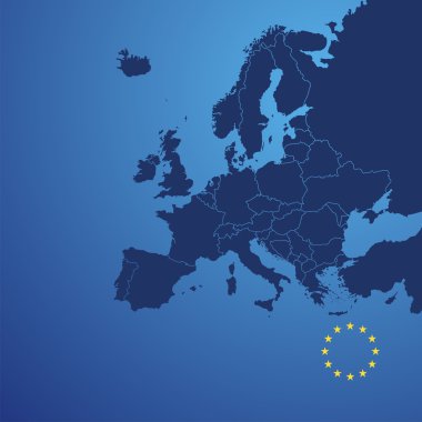
Europe map cover vector

Administrative divisions of the United Kingdom

An high quality world map in tones of grey with a cool flat shaded Shadow.

High Detail Colorful vector Map of United Kingdom Regions, Administrative divisions and major cities.

United Kingdom Map modern design with abstract digital technology mesh polygonal shapes on dark blue background. Vector Illustration Eps 10.
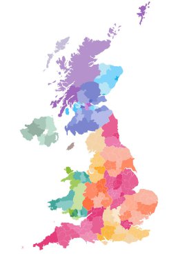
Vector map of United Kingdom administrative divisions colored by countries and regions. Districts and counties map of England, Wales, Scotland and Northern Ireland

Green map of the United Kingdom

Map of Great Britain

Grey Vector Map of the UK with Administrative borders, City and Region Names, international bordering countries and a 3D Globe centered on the UK

Grey United Kingdom map

Europe map - highly detailed vector illustration.

High detailed isolated map - United Kingdom

Color map of Great Britain and Ireland

Colorful map of countries of United Kingdom with indication of capital cities

Blue map of United Kingdom

High detailed United Kingdom physical map with labeling.

United Kingdom administrative districts high detailed vector map colored by regions with editable and labelled layers

Layered editable vector illustration country map of The United Kingdom,which contains colorful country flag version,black silhouette version and defferent pixel versions,can be used as background or material.

Illustration of a green United Kingdom map
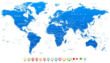
Highly detailed world map: countries, cities, water objects

United kingdom and ireland map in black and white

Highly detailed world map: countries, cities, water objects.

Long shadow map icon with a student

High detailed United Kingdom road map with labeling.
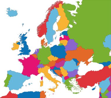
Colorful Europe map with country borders
Black map of world with countries borders

Detailed vector map of United Kingdom and capital city London

Abstract icon map of United Kingdom - vector illustration
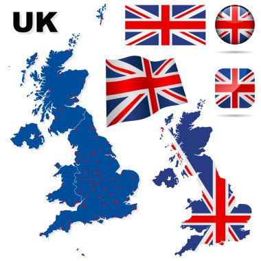
United Kingdom vector set. Detailed country shape with region borders, flags and icons isolated on white background.

United Kingdom, UK, of Great Britain and Northern Ireland map. Divided to four countries - England, Wales, Scotland and NI. Simple flat vector illustration.

United Kingdom Country Infographics Template Vector

United kingdom 3d map with Great Britain flag on white background

Wales blank detailed outline map set

Map of Great Britain

Attractive United Kingdom travel map with attractions
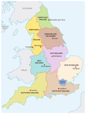
Outline map of the nine regions of England

Map of uk. map concept

Map of England Illustration

Map of Great Britain

United Kingdom map outline - smooth country shape map vector.

Simple outline map of United Kingdom with capital location. Stylized minimal line design

United Kingdom map icon. UK map. Editable vector.

The detailed map of the United Kingdom with regions or states and cities, capitals. Actual current relevant UK, Great Britain administrative devision.

United Kingdom vector map - simple map graphics.

Map of britain illustrated with flag on white background

High quality colorful labeled map of England with borders of the counties

Hand drawn map of the United Kingdom including England, Wales, Scotland and Northern Ireland and their capital cities. Colorful hand drawn vector illustration.

Pacific Centered World map with magnified United Kingdom. Flag and map of United Kingdom.

United Kingdom of Great Britain and Northern Ireland map outline. Communication, connection concept.Modern futuristic low polygonal, wireframe, lines and dots design. Vector illustration.

Vector detailed United Kingdom map

London, United Kingdom flat icons on blue background

Lovely United Kingdom travel map design with attractions
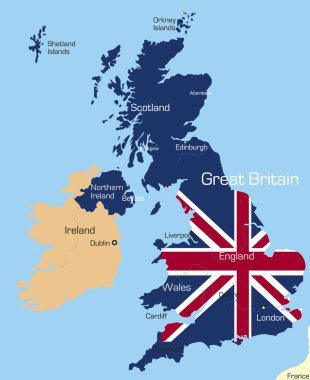
Abstract vector color map of Great Britain country coloured by national flag

United Kingdom Flag Map. Map of the United Kingdom of Great Britain and Northern Ireland with the British national Union Jack flag isolated on a white background. Vector Illustration.

Map of the Great Britain in gray on a white background with markers

Map of Great Britain

Map of Great Britain

Illustration of a green United Kingdom map
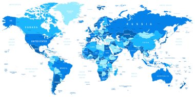
Highly detailed vector illustration of world map.

High detailed United Kingdom road map with labeling.
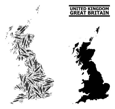
Vaccine mosaic and solid map of Great Britain. Vector map of Great Britain is constructed with syringes and human figures. Abstraction is useful for outbreak posters. Final win over virus outbreak.

Detailed Political World map. Vector illustration.

Layered editable vector illustration outline of Manchester,Brita

Blue map of United Kingdom

West Europe Region. Map of countries in western Europe. Vector illustration.
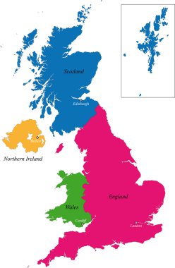
The countries of the United Kingdom and capital cities

World Map vector. Gray similar world map blank vector on transparent background. Gray similar world map with borders of all countries and States of USA map, States of Australia and Countries of the UK. Quality world map.

Vector illustration of World map and navigation icons

Europe map - highly detailed vector illustration.

Vintage color political World Map.All elements are separated in editable layers clearly labeled.

Detailed vector World map of blue colors and colorful map pointers

High detailed black United Kingdom road map with labeling.

World maps with different specification. 1 - highly detailed: countries, cities, water objects 2 - country contours 3 - world contours

United Kingdom of Great Britain and Northern Ireland maps and official flag icon. vector British political map icons and general information. EU geographic banner template. business concept map

Vector illustration uk map with flag. England map. United Kingdom of Great Britain. Uk map counties

Grunge flag of the United Kingdom in heart shape

Flag of Great Britain card template, vector illustration on bright background and copy space, banner, placard,poster for design

Liverpool map location - city marked in United Kingdom (UK map). Vector illustration.

United Kingdom of Great Britain and Northern Ireland, UK - solid black outline border map of country area. Simple flat vector illustration.

Green Map of United Kingdom With Outline Vector Design Template. Editable Stroke

Detailed vector maps of the United Kingdom regions and administrative areas in grey color
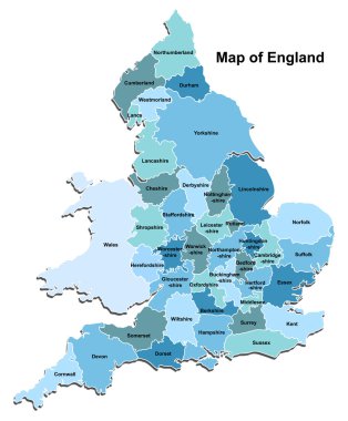
Map of England

Vector Great Britain Pictogram isolated on white background
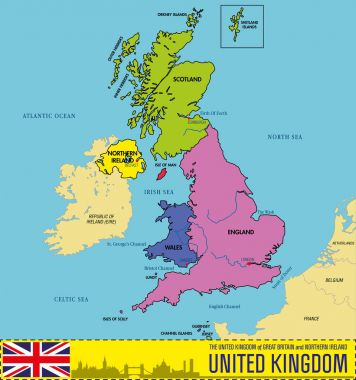
Vector highly detailed political map of The United Kingdom of Great Britain and Northern Ireland with regions and their capitals. All elements are separated in editable layers clearly labeled. EPS 10

High detailed United Kingdom physical map with labeling.

Illustration of a Political Map of United Kingdom

Uk map dotted and silhouette on white background vector isolated, with union jack flag and pin. Isolated on white background. Travel vector illustration,

United kingdom administrative and political map with flag

Map of United kingdom vector illustration isolated on white background

Map of Britain from dots