
Earth icon, vector design
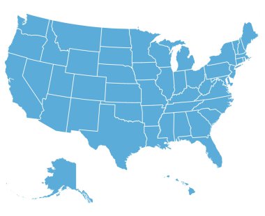
United States of America Vector Map. Cartography collection.

USA states map with names of cities

Usa map with flag

USA map cut-out, highly detailed on the edge, with a waving stars & stripes underneath. Settle thickness on the cut-out, shaded so to following the inner shadow light source. EPS v.10 with well organised and accordingly named layers.
Dotted world map on white
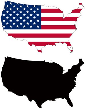
Layered editable vector illustration country map of United States,which contains two versions, colorful country flag version and black silhouette version.
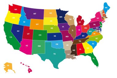
Detail color map of USA with name of states.

Contour map of the USA. Source of map:

Blue USA map vector
United States map, High detailed border
Symbol element usa manufacturing icon banner vector

USA world map with a pixel diamond patter texture.
Vector map of the united states of america, each state is in seperate layer thus can be edited easily

USA map flag on a white background. Vector illustrator.

Solid black silhouette map of United States of America without Alaska and islands, vector illustration
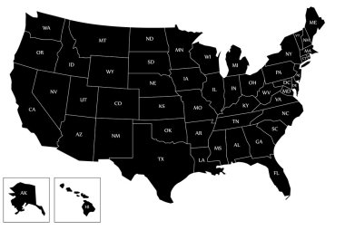
Map of the USA with name of each states and with black color.

An design of American flag map

Light gray detailed world map on white background
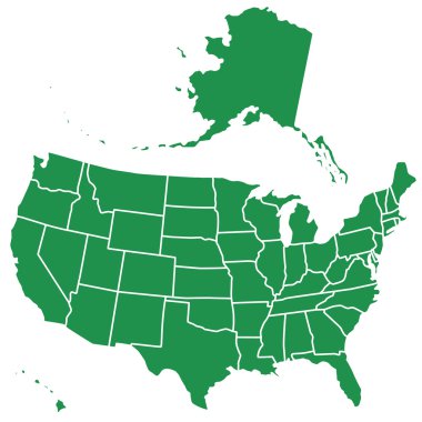
Silhouette map of the USA. Source of map:

Nice USA map isolated on white background

United States, Census regions and divisions, political map. Region definition widely used for data collection and analysis. The most commonly used classification system. English. Illustration. Vector.

Map of the USA on white
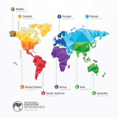
World map illustration infographics geometric concept design vector template.
Dotted USA map on white

Usa map from dots isolated on the white background

USA map and flag - highly detailed vector illustration. Image contains next layers. There are land contours, country and land names, city names, flag, navigation icons.

Black map of world with countries borders

High detailed United States of America physical map with labeling.
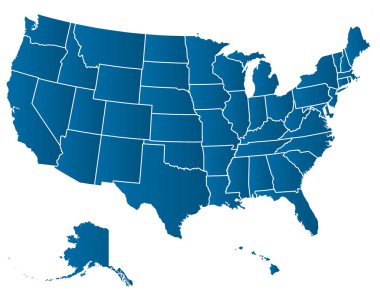
United States of America Vector Map. Cartography collection.
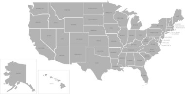
Simlified vector map of United States of America with full names

United States of America map. USA Map With Divided States. Outline US map.

3d United States white map with regions isolated on white background

Blue World map with color points

America map with states colored
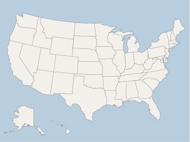
Vector map of the united states of america, each state is in seperate layer thus can be edited easily vector map of the united states of america, each state is in seperate layer thus can be edited easily

USA Map. Poster map of United States of America. Print of USA with name states, poster or geographic, political theme. Infographic graphic design print map of USA states. Vector Illustration

Dots Grey World Map. Modern vector Illustration

Flat Map of United States of America Vector Illustration Icon USA Map

Minimalistic map of the USA blue color on white background. Thin clean lines. Vector illustration.

Silhouette map of the United States of America in black on a white background
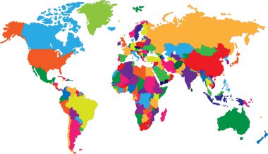
Colored map of world with countries borders

World map blue vector illustration in polygonal style on white background
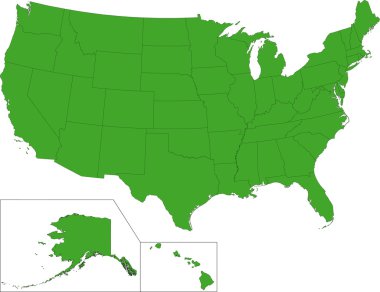
Green map of the United States of America with state borders

Black outline of USA map

Highly detailed map of the United States. All states are separate elements and layered in alphabetic order

Dotted World Map

High detailed United States map with set of info graphics elements, flat trendy vector illustration

USA map isolated on white background

Colorful USA map with name of states. Vector illustration

Colorful states of usa map

Highly detailed Political World Map with navigation icons.All elements are separated in editable layers clearly labeled.

United States of America political map of administrative divisions - states and federal district Washington, D.C. Flat blue vector map with name labels.

Usa america map states border vector illustration isolated on white

Usa map waving on white background

Map of United States of America, USA, with state postal abbreviations. Simple flat vector illustration

High detailed isolated map - USA

World Map Illustration

USA map and flag - highly detailed vector illustration. Image contains next layers. There are land contours, country and land names, city names, water object names, flag, navigation icons.

Vector map of the United States of America

Outline map of USA. Isolated vector illustration.

United States of America. Beautiful modern graphic USA map.51 staes; Alaska and Hawa.

The United States of America (USA), commonly known as the United States (U.S.) or America, is a federal republic composed of 50 states, a federal district, five major self-governing territories, and various possessions. At 3.8 million square miles (9

United states of america map isolated on white

Blank similar USA map isolated on white background. United States of America usa country. Vector template usa for website, design, cover, infographics. Graph illustration

Accurate map of USA

USA Map And Flag illustration

Black United States Of America map. US background template. Map of America with separated countries and interstate borders. All states and regions are named in the layer panel.

Map of United States of America, USA, with state postal abbreviations. Simple flat vector illustration

Colorful USA map

USA map icon. Vector illustration
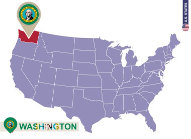
Washington State on USA Map. Washington flag and map. US States.

Ouutline map of Usa

Abstract world map. Colorful background. Vector illustration. Eps 10

Bright Colors Full Vector Political Map of the United States of America, isolated on White Background

Map of United state of America Territories. High detailed vector map - United state of America Territories.

Political World Map Pacific Centered - vector

Colorful United States of America political map with clearly labeled, separated layers. Vector illustration.

USA map - handdrawn illustration with lettering and symbols of tourist attractions. Creative design element for tourist banner, apparel design, road trip event design.

Dotted USA map on white. Vector eps10

Colorful USA map with states and capital cities. Vector illustration
Accurate map of USA
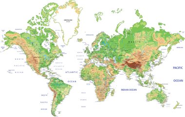
Highly detailed World map with labeling. Vector illustration.

USA map vector illustration
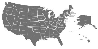
USA map. United States of America poster with state names. Geographic american maps including Alaska and Hawaii. USA geography, geography mapping vector illustration

Accurate map of USA
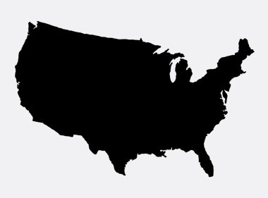
The United States of America map island silhouette. Good use for symbol, logo, web icon, game element, mascot, or any design you want. Easy to use

United States Of America map isolated on white background. USA vector illustration. Colorful territory print with text. Country poster with limit for travel materials.

Accurate map of USA

Isolated object of middle and east logo. Set of middle and country stock symbol for web.

High Detail World map. Vector Illustration

Map of United state of America. High detailed vector map - United state of America.

North American USA flag, map and glossy button, vector illustration set.

Blue polygonal North America map

Map of the United States with a label. Vector illustration design

World map - highly detailed vector illustration.

World map over white
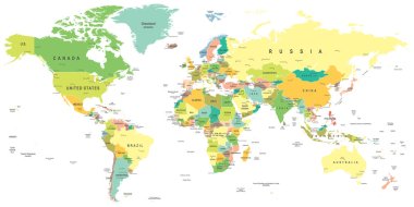
World map - highly detailed vector illustration.
Blue abstract map of United States

Accurate map of USA