Grey map of India with indication of largest cities

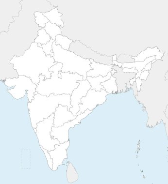
Vector blank map of India with states and territories and administrative divisions, and neighbouring countries. Editable and clearly labeled layers.

Vector map of India with states and territories and administrative divisions. Editable and clearly labeled layers.

Administrative district map of the Indian state of Rajasthan, 2024

India country detailed editable map with regions cities and towns, roads and railways, geographic sites. Vector EPS-10 file

Vector map of India with states and territories and administrative divisions. Editable and clearly labeled layers.

Vector blank map of India with states and territories and administrative divisions. Editable and clearly labeled layers.

Detailed vector map of India with states borders.

Detailed vector map of India with states borders.

Map of India - highly detailed vector illustration

Detailed vector map of India with states borders.

Blue map of India

India highly detailed physical map,in vector format,with all the relief forms,regions and big cities.

India map - highly detailed vector illustration

A High Detail vector Map of the Republic of India Federation states and Union Territories and major cities, with a 3D vector Globe centered on India

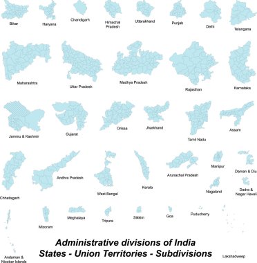
A large and detailed map of India with all subdivisions and islands.

India map. Outline illustration country map with state names and their capital cities.

A large and detailed map of India with all subdivisions and islands.

India doodle map in vector

A large and detailed map of all subdivions of India.

India map. Outline illustration country map with state shapes, names and borders.

Grey map of India

India map states flag odisha

Haryana administrative and political map, India

Map of India. Outline illustration country map with state names and borders.

Detailed vector map of India with states borders.

Orange map of India

Black map of India

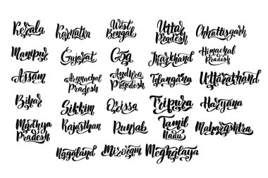
States of India. Handwritten stock lettering set ink typography. Calligraphy for logotype badge icon card postcard logo, banner, tag. Vector illustration EPS10.

High Quality map of Rajasthan is a state of India

Map of the northern Indian state of Uttar Pradesh

India political map of administrative divisions - states and union teritorries. Grey blank vector editable map EPS.

Rajasthan (States and union territories of India, Federated states, Republic of India) map vector illustration, scribble sketch Rajasthan state map

Minimal Jaipur map silhouette vector, perfect for prints, design, and travel projects. Simple outline of the Rajasthan capital city in India.

Odisha, Punjab, Rajasthan, Sikkim, Tamil Nadu outline maps