
Illinois counties vector map with USA map colors national flag
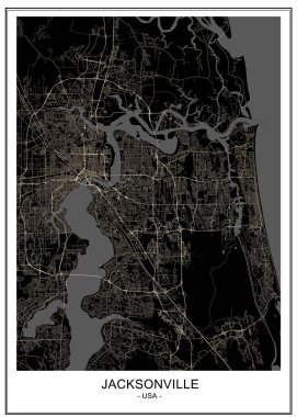
Vector map of the city of Jacksonville, Florida, USA

Illinois - vector map

Springfield (Nebraska) blank outline map

Springfield (Vermont) blank outline map

Springfield (Washington) blank outline map

Springfield (South Dakota) blank outline map
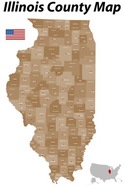
A large, detailed map of the State of Illinois with all counties and main cities.
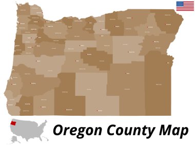
A large and detailed map of the State of Oregon with all counties and county seats.
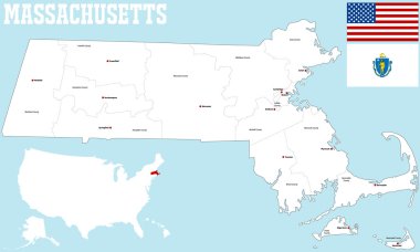
A large and detailed map of the State of Massachusetts with all counties and county seats.
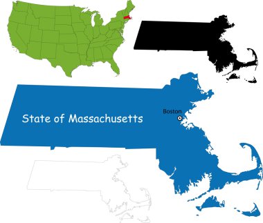
Illustration of State of Massachusetts, USA

Illinois State on USA Map. Illinois flag and map. US States.

Design vector map city
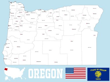
A large and detailed map of the State of Oregon with all counties and county seats.
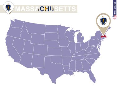
Massachusetts State on USA Map. Massachusetts flag and map. US States.

Illinois - Highly detailed editable political map with labeling.

A large and detailed map of the State of Ohio with all counties and county seats.

High detailed Missouri physical map with labeling.

Missouri State on USA Map. Missouri flag and map. US States.

Illinois map shape, united states of america. Flat concept icon symbol vector illustration .
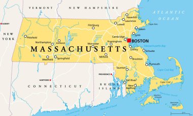
Massachusetts, political map with capital Boston. Commonwealth of Massachusetts, MA. Most populous state in the New England region of the United States. The Bay State. English. Illustration. Vector.

Missouri - Highly detailed editable political map with labeling.

A large and detailed map of the State of Missouri with all counties and county seats.

Illinois State magnified on United States map. Abstract USA map in blue color. Vector illustration.
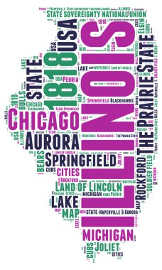
Illinois USA state map vector tag cloud illustration
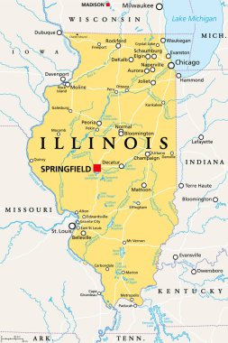
Illinois, IL, political map, with capital Springfield and metropolitan area Chicago. State in the Midwestern region of United States, nicknamed Land of Lincoln, Prairie State, and Inland Empire State.
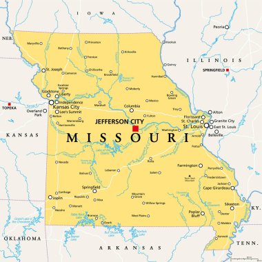
Missouri, MO, political map, with capital Jefferson City, and largest cities, lakes and rivers. State in Midwestern region of United States, nicknamed Show Me State, Cave State and Mother of the West.

Missouri, MO, gray political map with capital Jefferson City, largest cities, lakes and rivers. State in Midwestern region of United States, nicknamed Show Me State, Cave State and Mother of the West.

Doodle vector map of Illinois state of USA. With legends of state and capital

3d sate with speech bubble on silver map

Vector map of the city of Jacksonville, Florida, USA

Vector map of United States with indication of Illinois

Urban vector city map of Springfield, USA. Illinois state capital

Springfield USA City Map in Retro Style. Outline Map. Vector Illustration.
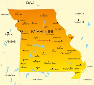
Vector color map of Missouri state. Usa

White blank vector map of the Federal State of Illinois, USA with black borders of its counties

A large and detailed map of the State of Missouri with all counties and main cities.

A large and detailed map of the State of Ohio with all counties and county seats.

A large and detailed map of the State of Massachusetts with all counties, islands and main cities.
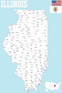
A large and detailed map of the State of Illinois with all counties and county seats.

2017 Solar Eclipse Totality across Tennessee State cities map color vector illustration

Illustration of State of Illinois, USA
Grey map of Illinois

USA - Oregon state infographic template, area, map, population informations included

USA map with magnified Illinois State. Illinois flag and map.

The Illinois State map with counties labels

The Illinois State counties map isolated on white background

Black map of Illinois

Vector map State of Illinois isolated on white background. Travel Vector Illustration.

Label set with names of Missouri cities, vector illustration

Illinois, state of USA - solid black outline map of country area. Simple flat vector illustration.

Black outline of Illinois map- vector illustration
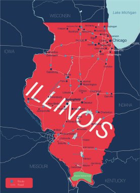
Illinois state detailed editable map with with cities and towns, geographic sites, roads, railways, interstates and U.S. highways. Vector EPS-10 file, trending color scheme

Illustrated map of the state of Illinois in United States with cities and landmarks. Editable vector illustration

Grunge vintage round stamp or label with text Springfield, Illinois, The Prairie State, vector illustration

Shiny icon in form of Illinois state, USA - vector illustrator

Yellow map of Illinois with indication of largest cities
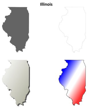
Illinois blank outline map set

White abstract outline of Illinois map on grey background

Missouri USA state map vector tag cloud illustration

Grunge rubber stamp with name of Illinois, Springfield

Springfield grunge rubber stamp on white background, vector illustration

Missouri state map flat icon with long shadow EPS 10 vector illustration.

Illinois Flag Set, US state, Flag Set 251. Vector.

Illinois US State map and flag in circle. Map of Illinois, Illinois flag pin. Map of Illinois in the style of the globe. Vector Illustration.

Illinois (United States of America, USA, U.S., US) - map is designed cannabis leaf green and black, State of Illinois map made of marijuana (marihuana,THC) foliage,

Colorful Massachusetts political map with clearly labeled, separated layers. Vector illustration.
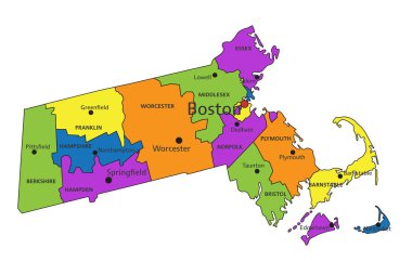
Colorful Massachusetts political map with clearly labeled, separated layers. Vector illustration.

Massachusetts - Highly detailed editable political map.

Illinois Map Pin with National Flag on Open World Map.

High detailed Missouri road map with labeling.

Illinois - Highly detailed editable political map with labeling.

North Springfield (Virginia) blank outline map

County map of the US American state of Illinois