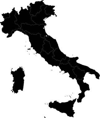
Black Italy map with regions

Vector map of Italy filled with flag of the state

Tuscany blank detailed outline map set

Vector illustration of Italy highlighting the Colosseum and Pantheon with a pinpoint on Florence

Florence (Oregon) blank outline map

Travel poster, urban street plan city map Florence and Milan, vector illustration

Florence city silhouette skyline. Italy - Florence city vector city, italian linear architecture, buildings. Florence city line travel illustration, landmarks. Italy flat icons, italian outline design

Italy map, black and white detailed outline regions of the country. Vector illustration

Tuscany regions map with labels isolated on white background

Administrative map of the Metropolitan City of Florence, Tuscany, Italy

City map Florence, travel vector poster design art for interior decoration

Italy - Highly detailed editable political map with separated layers.

High detailed Italy physical map with labeling.

Italy - Highly detailed editable political map with separated layers.

Tuscany administrative and political map with flag

High detailed Italy physical map.

High detailed Italy physical map with labeling.

Italy - Highly detailed editable political map with separated layers.

Italy - Highly detailed editable political map with separated layers.
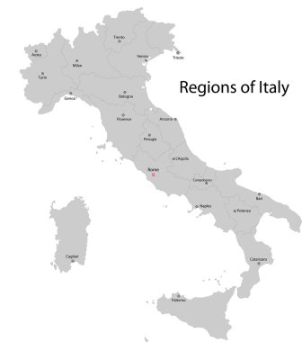
Gray Italy map with regions and main cities

The grayscale map of Tuscany region with labels on white background
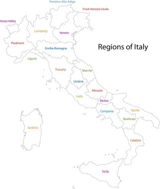
Outline Italy map with regions
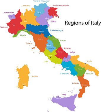
Colorful Italy map with regions and main cities

Vector detailed color Italy map

Vector map of the Italian national highway system

Editable colorful vector map of Italy. Vector map of Italy isolated on background. High detailed. Autonomous communities of Italy. Administrative divisions of Italy, separated provinces. outline map.

Road vector map of the Italian region Tuscany

Road vector map of the Italian region Tuscany
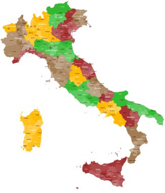
A detailed, colorful map of Italy with all provinces and big cities.

Italy administrative vector map

Map of the Italian region of Tuscany

High detailed Italy physical map.

High detailed Italy physical map with labeling.

Italy administrative and political vector map

Colorful Tuscany map vector silhouette illustration isolated on white background. Toscana, Italy province vector map. Separated regions with borders. Italian territory, EU, Europe.

Colorful map of Italy vector silhouette illustration isolated on white background. Autonomous communities of Italy. Detailed Italian regions administrative divisions, separated provinces. outline map.
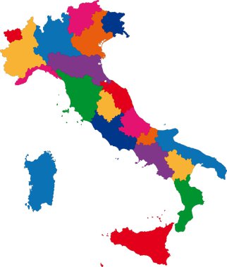
Colorful Italy map with regions

Italy map symbol shape, travel web flat concept icon web vector illustration .

Green Tuscany map silhouette vector, Toscana, Italy province vector map illustration isolated on background. Separated regions with borders.

Highly detailed physical map of Italy,in vector format,with all the relief forms,regions and big cities.
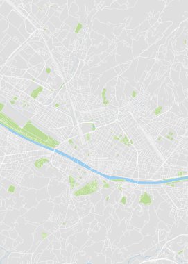
City map Florence, color detailed plan, vector illustration color navigation chart

The black and white maps of Italy regions

City map Florence, monochrome detailed plan, vector illustration black and white city plan

Set of icons of all counties and county seats of the State of Alabama.
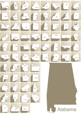
Set of icons of all counties and county seats of the State of Alabama.

A large and detailed map of the State of South Carolina with all counties and county seats.
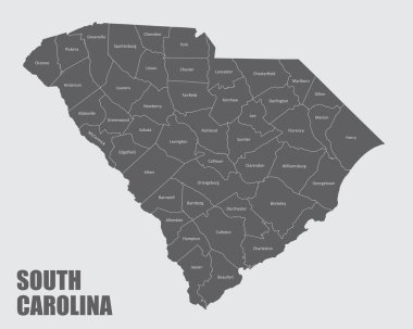
The South Carolina isolated map and its counties with labels

Street map of downtown Florence with pin pointers and infrastructure icons

Florence Italy City Map in Retro Style. Outline Map. Vector Illustration.

Set of icons of all counties and county seats of the State of Alabama.
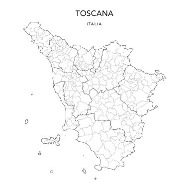
Vector Map of the Geopolitical Subdivisions of the Region of Tuscany (Toscana) with Provinces and Municipalities (Comuni) as of 2022 - Italy

A large administrative map of Italy with all provinces and communes.
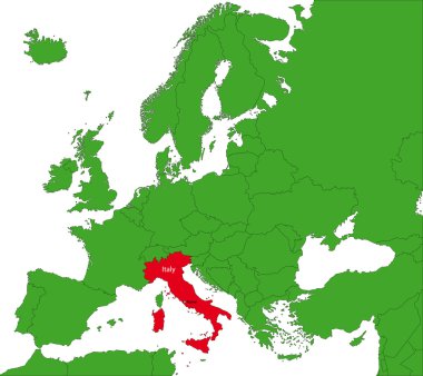
Location of Italy on the Europa continent

Blue map of Italy isolated on white background, vector

Highly detailed vector illustration of Alabama. With American flag.
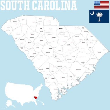
A large and detailed map of the State of South Carolina

Map of Italy vector colorful, with countries, borders, High detailed, editable,

Italy vector map with city names

Italy Rome hand drawn doodle icons. travel architecture. Fountains, cathedrals. Italian symbols outline drawing clipart

Vector coat of arms illustration of the Italian regional capital city of Florence, Italy

Map of Italy icon. Outline illustration of map of Italy vector icon for web

Gray Italy map with regions and main cities

Monochrome vector Italy map

Florence silhouette skyline. Italy - Florence vector city, italian linear architecture, buildings. Florence line travel illustration, landmarks. Italy flat icons, italian outline design banner

Vector travel icon Italy and Spain on white background

High detailed Italy physical map.

Italy vector map with city names

Vector map of Italy
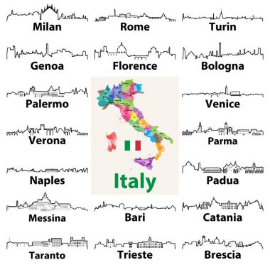
Vector outline icons of Italian cities skylines with map and flag of Italy

The gray map of Italy regions with labels
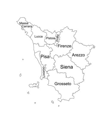
Editable Tuscany line contour map vector silhouette illustration isolated on white background. Toscana, scheme Italy province vector map. Separated regions with borders. Italian territory, EU, Europe.

High detailed vector map illustration of the Italy nation contour isolated on white background

Italy map and words cloud with larger cities

Vector color map of san marino country

Map of Italy for your design, concept Illustration.

The outline of the Italy with a watercolor flag inside. Vector

Tuscany (Autonomous region of Italy) map vector illustration, scribble sketch Toscana map

Italy map symbol shape, travel web flat concept icon web vector illustration .

Florence (Texas) blank outline map