
Veracruz state blank contour map
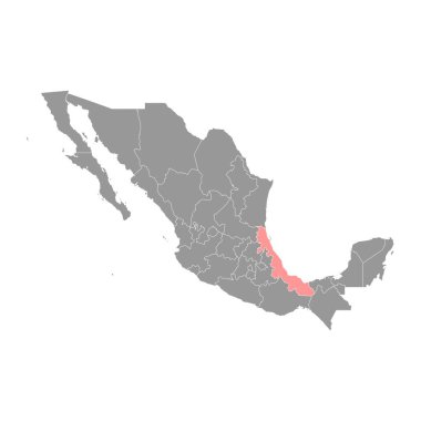
Veracruz state map, administrative division of the country of Mexico. Vector illustration.
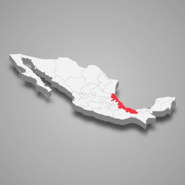
Veracruz region location within Mexico 3d isometric map

Yucatan Peninsula political map. Large peninsula in southeastern Mexico and adjectants portions of Belize and Guatemala, separating the Gulf of Mexico and Caribbean Sea. With El Salvador and Honduras.
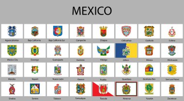
All Flags of regions of Mexico. Vector illustraion
Veracruz (United Mexican States, Mexico, federal republic) map vector illustration, scribble sketch Free and Sovereign State of Veracruz de Ignacio de la Llave map
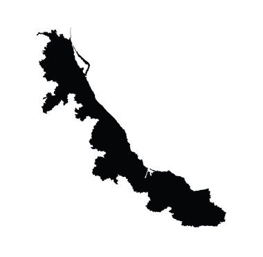
Mexico province map, state Veracruz vector map silhouette isolated on white background. High detailed silhouette illustration.
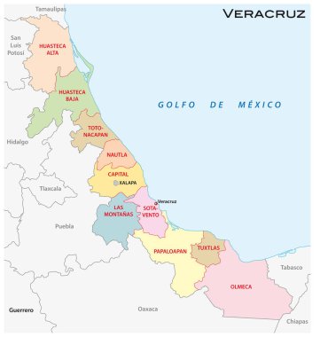
Veracruz administrative and political vector map
San luas potosi Word Text with Handwritten Font Shape Vector Illustration.
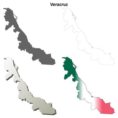
Veracruz state blank vector outline map set
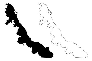
Veracruz (United Mexican States, Mexico, federal republic) map vector illustration, scribble sketch Free and Sovereign State of Veracruz de Ignacio de la Llave map
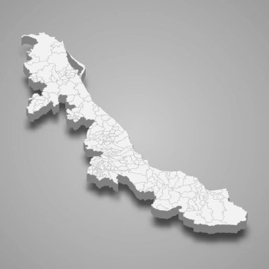
3d map of Veracruz is a state of Mexico, vector illustration
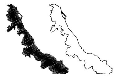
Veracruz (United Mexican States, Mexico, federal republic) map vector illustration, scribble sketch Free and Sovereign State of Veracruz de Ignacio de la Llave map
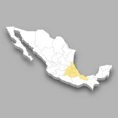
Central Mexico region location within Mexico 3d isometric map