
Map of the U.S. state of Washington on a white background
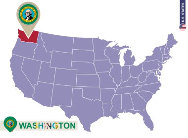
Washington State on USA Map. Washington flag and map. US States.
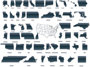
United States of America set in a nice plastic version.

Washington (state) - vector map
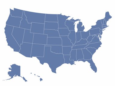
Vector map of the united states of america, each state is in seperate layer thus can be edited easily
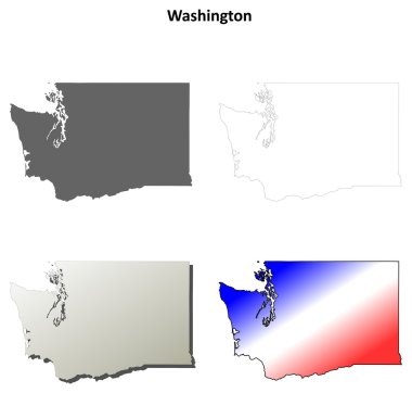
Washington blank outline map set
Washington state with beautiful view
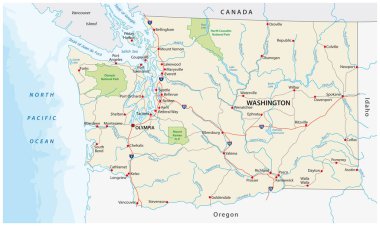
Washington state road and national park vector map
Vector illustration vector illustration set of US states maps
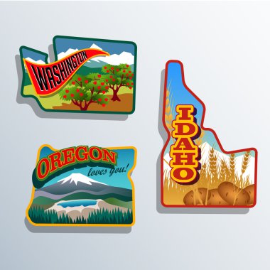
Northwest United States Idaho, Oregon, Washington retro sticker patch designs
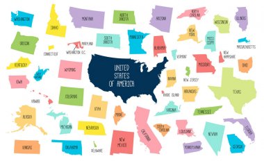
USA map with separated states. Colorful outlines of the 50 states with labels

Vector Washington state Map silhouette. Isolated vector Illustration. Black on White background.
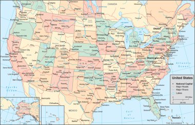
This image is a vector illustration and can be scaled to any size without loss of resolution.
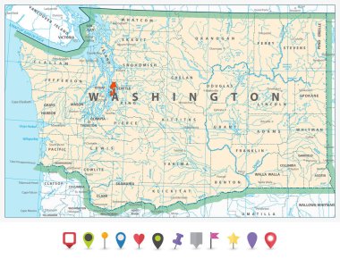
Washington state detailed map and flat icon set.
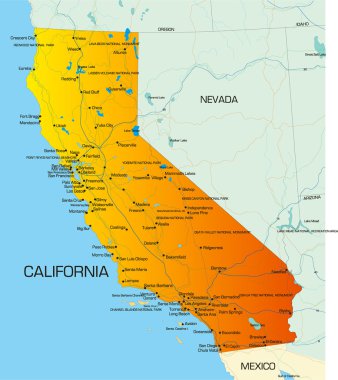
Vector color map of California state of usa

Colorful USA map with states and capital cities

USA map with states

Washington state map navigation set with roads, rivers, lakes and highways.
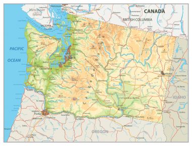
Physical map of Washington state with a main relief, rivers, lakes and highways.
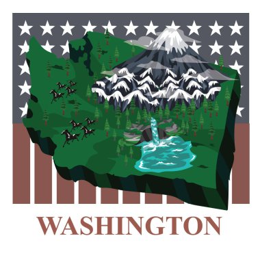
Washington state map, vector illustration
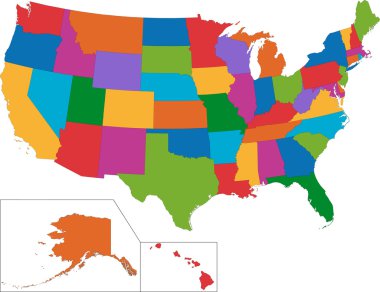
Colorful USA map with states

USA map and flag - highly detailed vector illustration. Image contains next layers. There are land contours, country and land names, city names, flag, navigation icons.
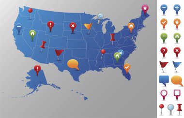
Every state is in its own shape.
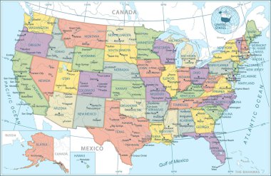
United States map - vector illustration
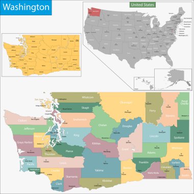
Map of Washington state designed in illustration with the counties and the county seats

United States round background. Set Vector colored flat icons and symbols set

Washington state blank outline map

Washington state detailed map with rivers, lakes and cities.

Washington state map navigation set in colors of blue with roads, rivers, lakes and highways.

Washington state map with roads, rivers, lakes and highways.

Highly detailed editable political map with separated layers. United States of America.

Washington state road map with rivers, lakes and highways.
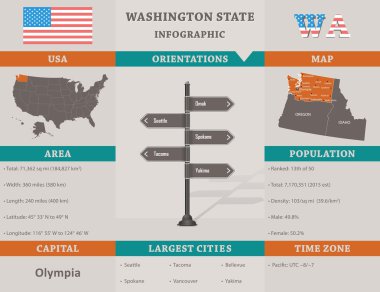
USA - Washington state infographic template, area, map and population informations included

Map of the U.S. state of Washington

The Washington State County Map with labels

Washington state map flat icon with long shadow EPS 10 vector illustration.

Roads, political and administrative map of the Western United States of America with National Parks

Map of Washington state United States of America (USA) made from natural plant leaves of marijuana, cannabis, weed, hemp CBD Oil, bud medical cannabis THC seamless pattern print design illustration.

Dot vector abstract Washington State map and isolated clean black, grunge red, blue, green stamp seals. Washington State map tag inside draft framed rectangles and with corroded rubber texture.

Demographic Washington State map illustration. People bright mosaic Washington State map of guys, and red rounded grunge watermark. Vector combination for nation mass representation.

Washington state gold label with state map, vector illustration
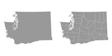
Washington state gray maps. Vector illustration.
Washington simple logo. State map outline - smooth simplified US state shape map vector.
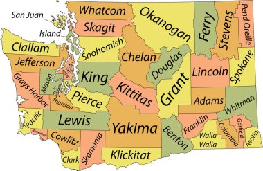
Pastel vector administrative map of the Federal State of Washington, USA with black borders and name tags of its counties

Washington state flag. Vector illustration.
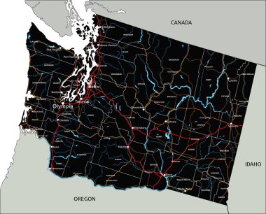
High detailed Washington road map with labeling.

Blank map of United States of America divided into states. Simplified flat blue silhouette vector map on white background.
Set of generic stamps and signs of Washington state

Map of washington state

Set of Washington state with flag america and map pointer
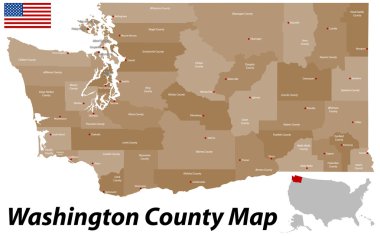
A large and detailed map of the State of Washington with all counties and county seats.
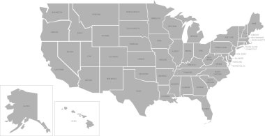
Simlified vector map of United States of America with full names

Washington counties vector map with USA map colors national flag
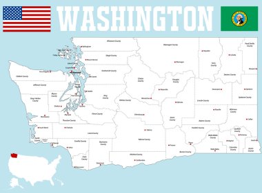
A large and detailed map of the State of Washington with all counties and county seats.

Washington State map highlighted on USA map. Washington map on United state of America with flag and navigation icons.

District of Columbia blank outline map set
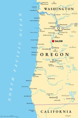
Oregon coast, political map. Coastal region of U.S. state of Oregon, bordered by Pacific Ocean to the west and Oregon Coast Range to the east, stretching from Columbia River to the California border.

Map of Commonwealth of Kentucky designed in illustration with the counties and the county seats
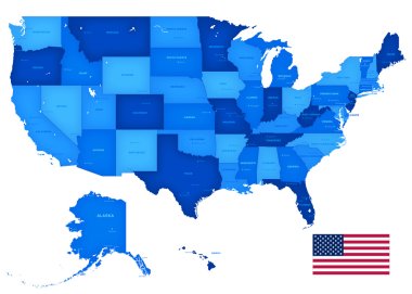
A High Detail vector set including a Map of the United States of America States, with capitals and major cities, and the USA flag.

Map of Arkansas state designed in illustration with the counties and the county seats
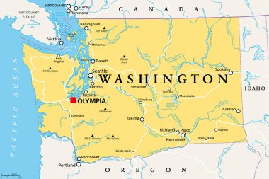
Washington, WA, political map with the capital Olympia. State in the Pacific Northwest region of the Western United States of America. State of Washington, with nickname The Evergreen State. Vector.
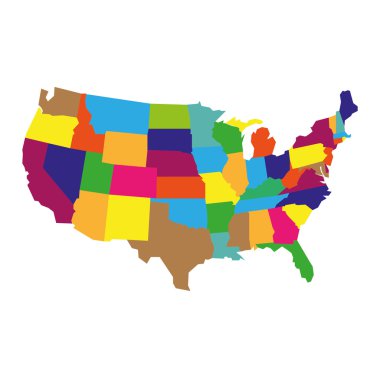
Colorful detailed USA Map, isolatedon white background
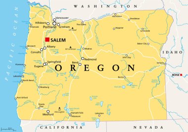
Oregon, OR, political map with the capital Salem. State in the Pacific Northwest region of the Western United States of America, with the nickname The Beaver State. Illustration. Vector.

Detailed Washington state map, highly detailed territory and road plan, vector illustration

United States map with separated states, flag and geo

Very detailed vector file of all fifty states in 3d. Each state is grouped individually and labeled in the layers palette.

A large and detailed map of the USA with every single county.
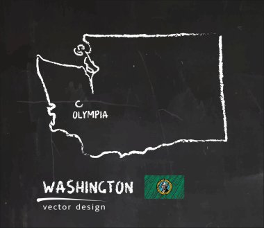
Map of Washington, Chalk sketch vector illustration

Blue vector map of United States
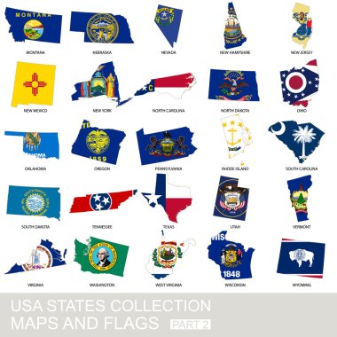
USA state collection, maps and flags, part 2
The United States of America map island silhouette. Good use for symbol, logo, web icon, game element, mascot, or any design you want. Easy to use

Blank map of United States of America. Simplified dark grey silhouette vector map on white background
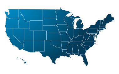
Blue USA map vector

Map of washington state
United States map, High detailed border
Vector map of the united states of america, each state is in seperate layer thus can be edited easily vector map of the united states of america, each state is in seperate layer thus can be edited easily

Black map of United States

Label sticker cards of State Washington USA. Stylized badge with the name of the State, year of creation, the contour maps and the names abbreviations.
USA map - states separated in the groups - illustration for the web

Map of the U.S. state of Washington on a white background
America map. handwritten illustration. separated states of USA.

Vector illustration of a High Detail USA Map with different colors for each country. Each country has its capital city. Global colors used. eps 10

Illustration of State of New York, USA
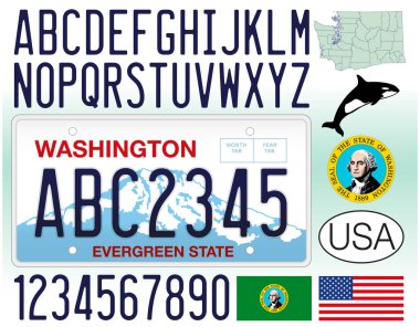
Washington US State car license plate, letters, numbers and symbols, United States, vector illustration

Map of New York state designed in illustration with the counties and the county seats

Washington evergreen state with beautiful view

Washington state united states of america
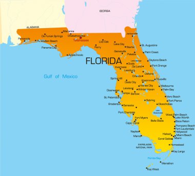
Vector color map of Florida state. Usa

Map contains topographic contours, country and land names, cities, water objects, roads, railways.
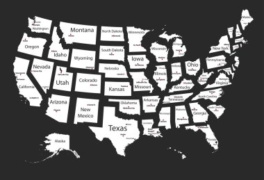
Usa states
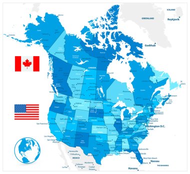
USA and Canada large detailed political map in colors of blue

Poster map of United States of America with state names. Print map of USA for t-shirt, poster or geographic themes. Hand-drawn colorful map with states. Vector Illustration

United States map, High detailed border

Washington DC Map with three-dimensional variations
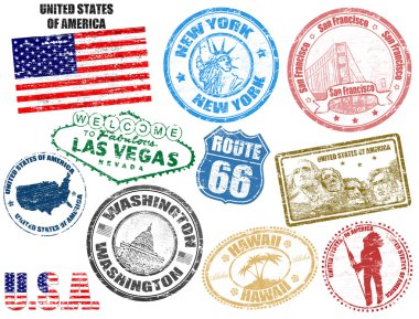
Set of grunge stamps with United States of America, vector illustration
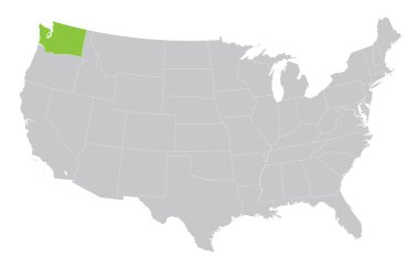
USA map with the indication of State of Washington

Shiny vector stickers in form of Washington state, USA

Map of USA with separable borders, isolated in white background

Map of the U.S. state of Washington

Blue vector map of United States Of America isolated on white background