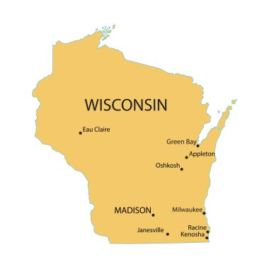
Yellow map of Wisconsin with indication of largest cities
Map of the U.S. state of Wisconsin
Wisconsin dark silhouette map isolated on white background

USA states map with names of cities
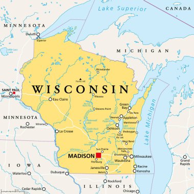
Wisconsin, WI, political map, with the capital Madison and metropolitan area Milwaukee. State in the upper Midwestern United States of America, with the nicknames Badger State, and Americas Dairyland.

Blue abstract outline of Wisconsin map
Wisconsin blank outline map set

Map of wisconsin. map concept
Vector map of the united states of america, each state is in seperate layer thus can be edited easily vector map of the united states of america, each state is in seperate layer thus can be edited easily

Very detailed vector file of all fifty states in 3d. Each state is grouped individually and labeled in the layers palette.
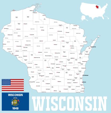
A large and detailed map of the State of Wisoncin with all counties and county seats.

Usa map
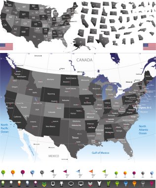
Vector map of United States

Clipboard with drawing Wisconsin map. Vector illustration.

Wisconsin map vector background

Wisconsin black silhouette vector map. Editable high quality illustration of the American state of Wisconsin simple map
Wisconsin state map silhouette icon
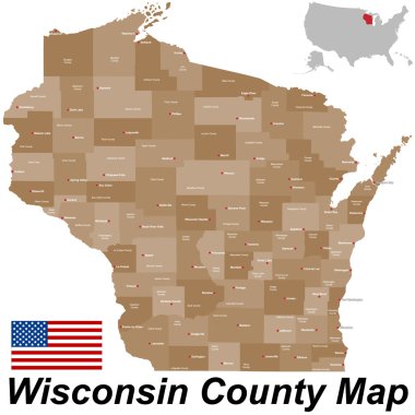
A large and detailed mpa of the State of Wisoncin with all counties and county seats.

The Wisconsin state map and its counties

Map of The United States of America with the Selected State of Wisconsin And Wisconsin Flag with Locator Collection.

USA map with magnified Wisconsin State. Wisconsin flag and map.

Detailed map of Wisconsin state,in vector format,with county borders,roads and major cities
United States of America Vector Map. Cartography collection.

Wisconsin state map flat icon with long shadow EPS 10 vector illustration.

Highly detailed political map of the USA including Alaska and Hawaii.

Wisconsin counties vector map with USA map colors national flag

Wisconsin State on USA Map. Wisconsin flag and map. US States.

Urban vector city map of Madison, USA. Wisconsin state capital
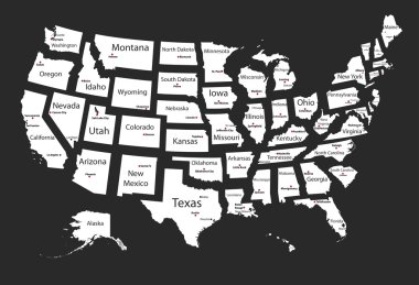
Usa states
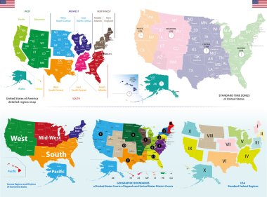
Vector maps of United States including regions and time zones maps

Detailed political map of the USA including Alaska and Hawaii and flat map pointers.

White abstract outline of Wisconsin map

Map of the State of Wisconsin and American flag illustration. America Flag map - vector illustration.

Black map of the State of Wisconsin - vector illustration. Simple flat map State of Wisconsin.
Black outline Wisconsin map- vector illustration

Wisconsin map. Map of the us state with beautiful geometric waves in red blue colors. Vivid Wisconsin shape. Vector illustration.

Welcome to Wisconsin vintage grunge poster, vector illustration
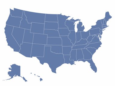
Vector map of the united states of america, each state is in seperate layer thus can be edited easily

Highly detailed map of the United States. All states are separate elements and layered in alphabetic order
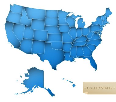
USA map - United States of America with all 50 states - blue color - isolated on white - Vector
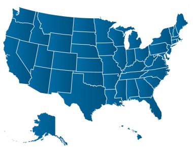
United States of America Vector Map. Cartography collection.
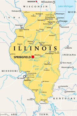
Illinois, IL, political map, with capital Springfield and metropolitan area Chicago. State in the Midwestern region of United States, nicknamed Land of Lincoln, Prairie State, and Inland Empire State.

Hand drawn USA map with handwritten state names

Map of Wisconsin
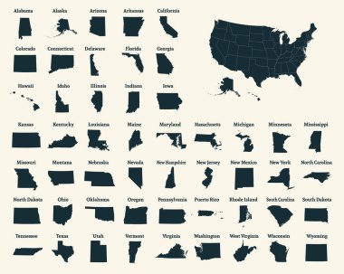
Outline map of the United States of America. 50 States of the USA. US map with state borders. Silhouette of the USA. Vector illustration.

Madison USA City Map in Retro Style. Outline Map. Vector Illustration.
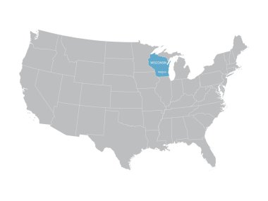
Vector map of United States with indication of Wisconsin
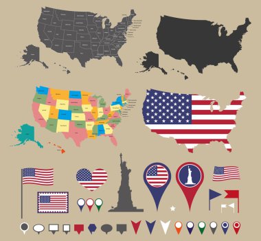
Usa map set and national symbolic

Milwaukee Wisconsin USA City Map in Retro Style Black and White Color. Outline Map. Vector Illustration.

United States vector high detailed maps set

USA map vector illustration

Wisconsin State in the United States map vector
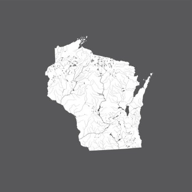
U.S. states - map of Wisconsin. Hand made. Rivers and lakes are shown. Please look at my other images of cartographic series - they are all very detailed and carefully drawn by hand WITH RIVERS AND LAKES.

Madison City (United States cities, United States of America, usa city) map vector illustration, scribble sketch City of Madison map

Flat design with map Wisconsin concept for air travel
Milwaukee and Lafayette (La Fayette) County, State of Wisconsin (U.S. county, United States of America, US) map vector illustration, scribble sketch map

Wisconsin Map Pin with National Flag on Open World Map.
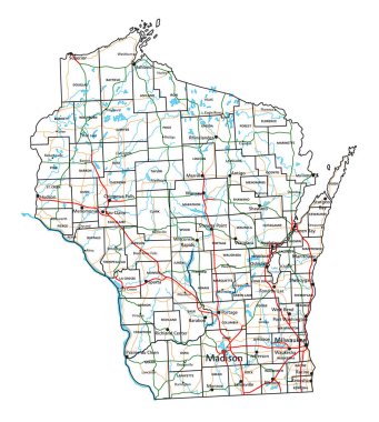
Wisconsin road and highway map. Vector illustration.

Wisconsin map vector design templates isolated on white background

Wisconsin, Wyoming travel stickers with scenic attractions and retro text on vintage suitcase background

Wisconsin, state of USA - solid black silhouette map of country area. Simple flat vector illustration.

Star label with map of Wisconsin , vector
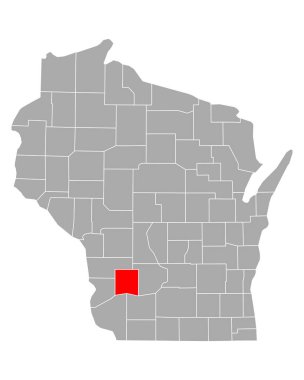
Map of Richland in Wisconsin
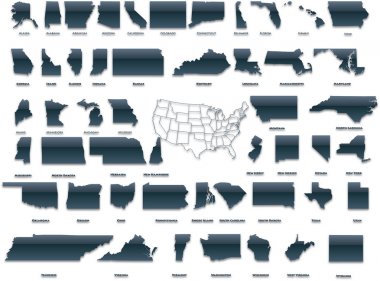
United States of America set in a nice plastic version.

Grunge rubber stamp with name and map of Wisconsin, USA
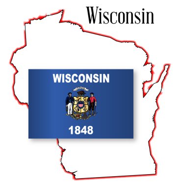
Outline map of the American state of Wisconsin

Vintage stamp with text The Badger State written inside and map of Wisconsin, vector illustration

Label sticker cards of State Wisconsin USA. Stylized badge with the name of the State, year of creation, the contour maps and the names abbreviations.
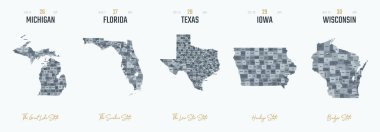
Vector set 6 of 10 Highly detailed silhouettes of US state maps, divided into counties with names and territory nicknames
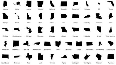
Vector illustrations of all fifty states of the united states of america with the names of each state written below

Map of Waukesha in Wisconsin
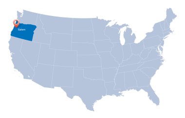
Map of USA with the indication of State of Oregon

United States census bureau regions and divisions vector map. Flag of United States of America
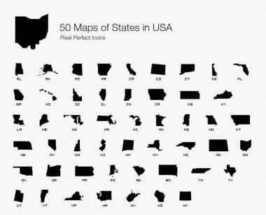
All 50 USA States Map Pixel Perfect Icons (Filled Style). Vector icons of the complete United States of America states map.
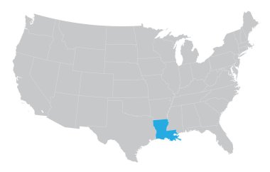
USA map with the indication of the State of Louisiana

United states of America political map with drop shadow on white background

Flat hand drawn map composition. Usa States
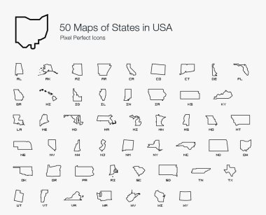
All 50 USA States Map Pixel Perfect Icons (Line Style). Vector icons of the complete United States of America states map.
USA map with the indication of State of Nevada

Usa vector map with states names
USA map with the indication of The State of Kansas
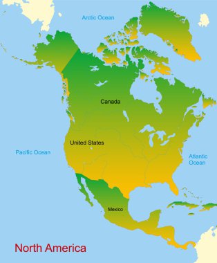
Detailed vector map of north america continent

USA map with abbreviated state names. United States of America cartography with colored states. Vector illustration.
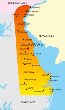
Vector color map of Delaware state. Usa

Road map of the US American State of Minnesota
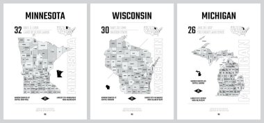
Highly detailed vector silhouettes of US state maps, Division United States into counties, political and geographic subdivisions of a states, The Great Lakes region - Minnesota, Wisconsin, Michigan - set 5 of 17
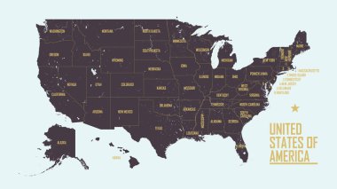
Detailed vintage map of United States of America with names of 50 states, vector illustration

Map of the Midwest United States of America
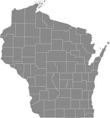
Gray vector administrative map of the Federal State of Wisconsin, USA with white borders of its counties

Graphic of the North American great lakes and their neighboring states

USA America Map States border isolated on white background. Vector illustration

Road map of the US American State of Montana

USA 50 States Colorful Map and State Names vector

Great Lakes of North America, gray political map. Lakes Superior, Michigan, Huron, Erie and Ontario. Series of large interconnected freshwater lakes, on or near the border of Canada and United States.
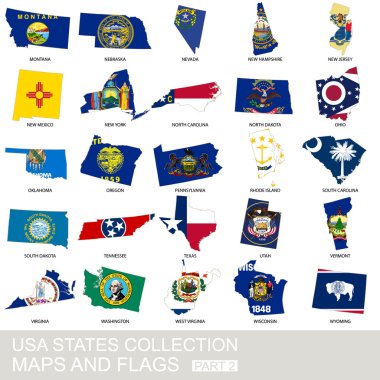
USA state collection, maps and flags, part 2

Map of the Midwest United States of America

Washington state blank outline map

Set 3 of 5 Highly detailed vector silhouettes of USA state maps with names and territory nicknames

Geographic vector Map of the U.S. state of Wisconsin

USA map with Alaska and Hawaii map, new political detailed map, separate individual states, with state names, isolated on white background 3D vector