Worcester (New York) blank outline map

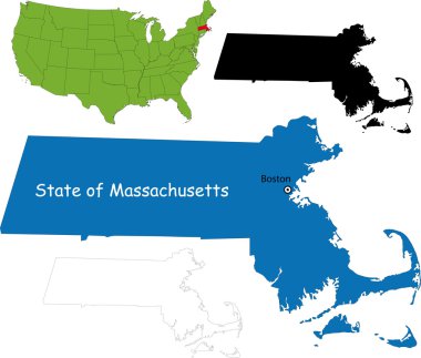
Illustration of State of Massachusetts, USA

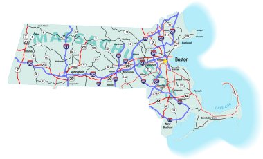
Massachusetts state road map with Interstates, U.S. Highways and state roads. All elements on separate layers for easy editing.

A large and detailed map of the State of Massachusetts with all counties, islands and main cities.

6 of 50 states of the United States with a name, nickname, and date admitted to the Union, Detailed Vector Massachusetts Map for printing posters, postcards and t-shirts