
Vector graphic T-shirt design of Alaska in retro style
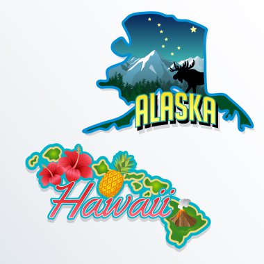
Alaska, Hawaii retro state facts illustrations

An Alaska state outline with the date of statehood isolated on a white background

Doodle vector map of Alaska state of USA. With legends of state and capital

Alaska high detailed map. Us state silhouette icon. Isolated Alaska black map outline. Vector illustration.

Outline maps of USA states collection, black lined vector map.
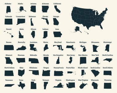
Outline map of the United States of America. 50 States of the USA. US map with state borders. Silhouette of the USA. Vector illustration.
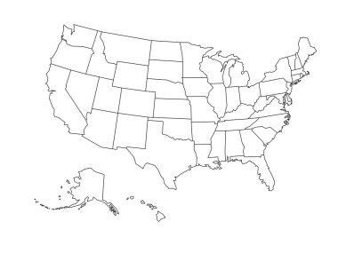
Blank outline map of United States of America. Simplified vector map made of black outline on white background

Contour map of the USA. Source of map:

Set of the USA maps. All objects are independent and fully editable.

Map of alaska. map concept

Map of the U.S. state of Alaska

Alaska line art map from colorful curved lines

Blue map of Alaska with indication of Juneau

Alaska state with beautiful natural scenery

Highly detailed vector silhouettes of US state maps, Division United States into counties, political and geographic subdivisions of a states, Pacific - Alaska, Hawaii - set 17 of 17

Stylized illustration showing an alpine Landscape with mountains and firs

Contour map of the USA, globe and windrose on grid pattern. vector illustration

Outline vector illustration of steel Mt. McKinley (6168 m)
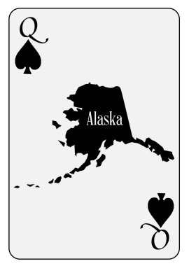
Outline map of the state of Alaska used as the Queen of Spades motif in a playing card

Vector set 10 of 10 Highly detailed silhouettes of US state maps, divided into counties with names and territory nicknames
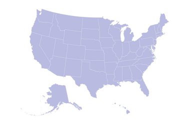
USA Map Silhouette on white background

Dotted Map of Canada. Vector eps10

United States of America map. USA map. Flat black and white vector illustration. American map for poster, banner, t-shirt. Design USA cartography map.

Highly Detailed North America Blind Map.
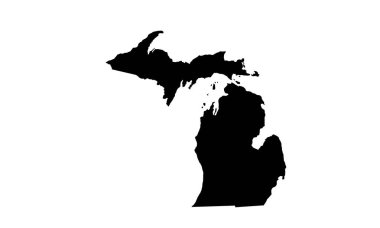
Michigan state map silhouette in the United States

United States and Canada political map of administrative divisions. Blank black outline vector map

State Alaska map on transparent background. Blank map of Alaska with regions in gray for your web site design, logo, app, UI. USA. EPS10.

Highly Detailed North America Blind Map With Capital Dots.

Political map of North American countries Canada, United States of America and Mexico with administrative divisions. Thin black outline map with countries and states name labels. Vector illustration

Stylized flat illustration showing an alpine Landscape with mountains and firs

USA vector linear map. Thin line United States map.

Map of North America

Blank black vector outline map of USA, United States of America.
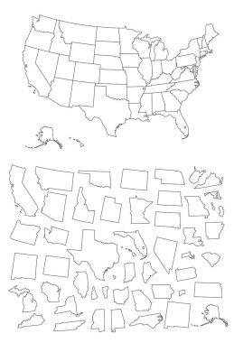
Detailed map of Usa
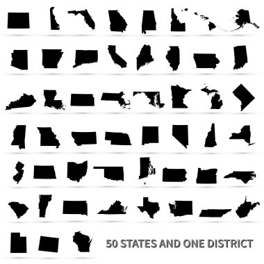
United States of America 50 states and 1 federal district. US states map.

Map of North America

The black and white maps of British Columbia province, Canada

Vector Sketch Bear. Side View Hand Drawn Illustration
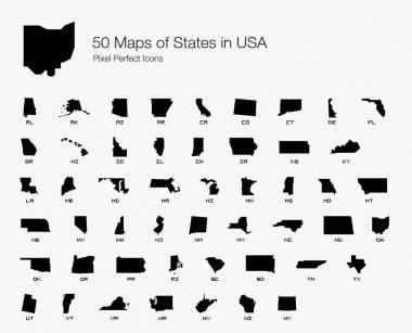
All 50 USA States Map Pixel Perfect Icons (Filled Style). Vector icons of the complete United States of America states map.

Vector posters with highly detailed silhouettes of maps of the states of America, Division Pacific - Alaska, Hawaii - set 17 of 17

Alaska simple logo. State map outline - smooth simplified US state shape map vector.

North America Map. Isolated monochrome shape. Vector illustration.

Set of linear vector Arctic animals

Map of North America

North America map. Monochrome North America icon. Vector

An Illustrated Shape of the State of Alaska

A set of alaska skyline silhouette logo

Map of North America with separate countries

Map of North America with separate countries

Line arctic wildlife concept with different north animals . Vector

Alaska badge flat design. Round flat style sticker of trendy colors with the state map and name. US state badge vector illustration.
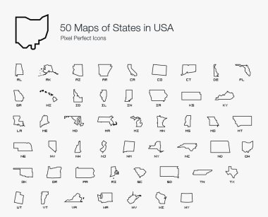
All 50 USA States Map Pixel Perfect Icons (Line Style). Vector icons of the complete United States of America states map.

Map of the USA. Image with clipping path and name of states. State mark. Vector illustration.

Map of The United States of America (USA) State of Alaska - Illustration on White Background.

White Polar bear sketch hand drawn in doodle style illustration

The Alaska map divided in counties with labels, USA

Canada Map Teal Colors. Regions and provinces. Highly detailed vector illustration.

Canada highly detailed physical map,in vector format,with all the relief forms,regions and big cities.

Alaskan Malamute dog standing in profile stylized silhouette on shabby vintage background. All objects are conveniently grouped on different layers.
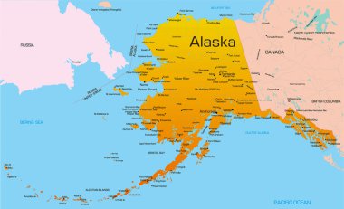
Vector color map of Alaska state. Usa.

Vector map of the alaska highway, united states, canada
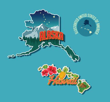
Illustrated pictorial map of Alaska and Hawaii, United States. Vector Illustration.
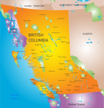
Vector british columbia province map

Anchorage syline in red and gray background in editable vector file
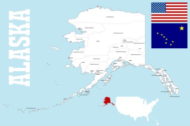
A large and detailed mpa of the State of Alaska with all islands, boroughs and main cities.

Vector road map of the North American state of Alaska, United States of America

British Columbia province vector editable map of the Canada with capital, national borders, cities and towns, rivers and lakes. Vector EPS-10 file

Map of the Yukon Territory in northwestern Canada
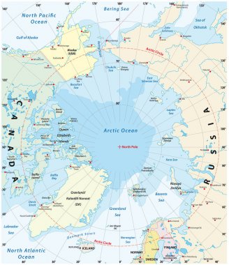
Map of the Arctic with the least and largest extent of the ice cap 2018
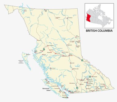
Road map of the Canadian province of British Columbia.

Alaska administrative and political map with flag

Vector map of the Bering Strait between Russia and Alaska
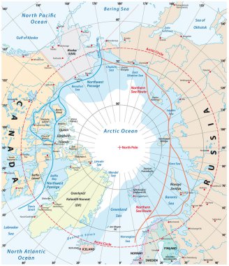
Map of the Arctic region, the northwest passage and the northern sea route

Abstract Vector Color map of the arctic

Vintage beautiful nature background vector ink hand drawn illustration. Sketch lake house, fir trees and mountain rocks.

Highly Detailed North America Map Silhouette With Country Capitals.

Emblem bear sketch vector on beige background

Vector poster a bear river mountains nature background

In the mountains - stylized illustration

Vector map of North and Central America Continent with Countries, Capitals, Main Cities and Seas and islands names in classic soft colors.

Set of vintage labels with salmon fish. Salmon fishing, salmon meat. Design elements for label, emblem for fishing club. Vector illustration.

North America map with regions. USA, Canada, Mexico maps. Outline North America map isolated on black background.

Vector engraved style illustration for posters, decoration and print. Hand drawn sketch of bear in black isolated on white background. Detailed vintage etching style drawing.

Vector Sketch illustration of mountain peaks in the background of the sun or moon

USA vector map contour with federal states borders. United States of America country outline silhouette isolated on white background. Vector Illustration for web, design, infographics, app, poster.

Set of wild grizzly bear silhouettes isolated on white background. Design element for poster, card, banner, emblem, sign. Vector illustration

Stylized mountain peaks in the background of the sun or moon

Survey map of the four Canadian Atlantic States, Atlantic canada

United States and Mexico political map of administrative divisions. Blank black outline vector map

Map of the watersheds in the United States of America

Walking bear silhouettes style logo line art design vector illustration sketch isolated on a white background

Vector Outlined map of The United States of America on white Background

Map of North Ameraca

Taiga animals collection with natural habitat creatures type outline set. Isolated wildlife elements group with environment and climate typical living birds, mammals and fishes vector illustration.

Map of The United States of America USA with territories and Islands. Different map variations for your design. Stock Vector illustration isolatedon white background

Arctic animals set in circle. Polar mammals and birds line art with walrus, albatross, polar bear, snowy owl, reindeer, arctic fox, puffin, harp seal, hare, penguin and arctic tern. Vector realistic illustration on white background

Mountain vector illustration. Old style black and white mountain vector illustration on white background. Black and white mountain.

Polar bear logo on a white background. Vector
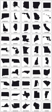
Black silhouette maps of 50 us states.