
Blank similar USA map isolated on white background. United States of America country. Vector template for website, design, cover, infographics. Graph illustration
Black vector map of Alaska
Map of Alaska on white background, vector illustration
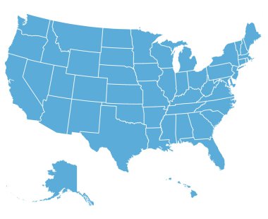
United States of America Vector Map. Cartography collection.
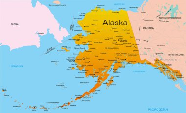
Vector color map of Alaska state. Usa.

USA map and flag - highly detailed vector illustration. Image contains next layers. There are land contours, country and land names, city names, flag, navigation icons.
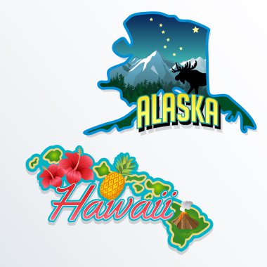
Alaska, Hawaii retro state facts illustrations
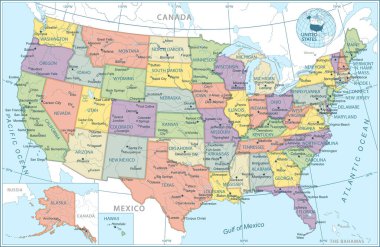
United States map - vector illustration

Map of Alaska

Alaska line art map from colorful curved lines
Vector map of the united states of america, each state is in seperate layer thus can be edited easily

Blue map of Alaska with indication of Juneau

Map of the U.S. state of Alaska

USA states map with names of cities

Blank map of United States of America divided into states. Simplified flat blue silhouette vector map on white background.
Blank outline map of United States of America. Simplified vector map made of black outline on white background

Vintage distressed style image featuring the US state of Alaska.
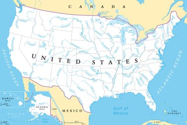
United States, rivers and lakes, political map. The main stems of the longest rivers, and the largest lakes of the United States of America, with the Great Lakes of North America. Illustration. Vector
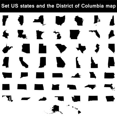
Vector illustration vector illustration set of US states maps

Blank map of United States of America. Simplified dark grey silhouette vector map on white background

A large and detailed map of the USA with every single county.
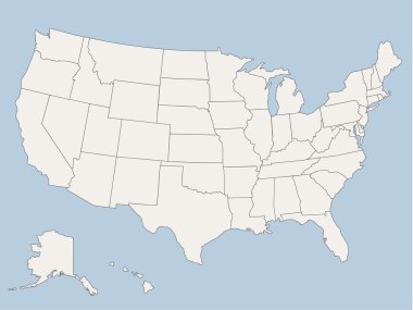
Vector map of the united states of america, each state is in seperate layer thus can be edited easily vector map of the united states of america, each state is in seperate layer thus can be edited easily

Colorful USA map with states and capital cities

USA map with states

Usa vector map with states names

United States map with separated states, flag and geo
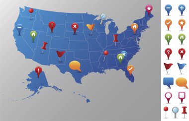
Every state is in its own shape.
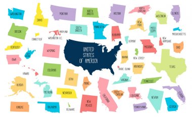
USA map with separated states. Colorful outlines of the 50 states with labels
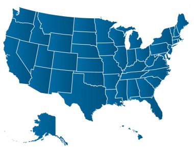
United States of America Vector Map. Cartography collection.

Icons States map. America states map icons on a white background.
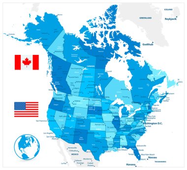
USA and Canada large detailed political map in colors of blue

Map contains topographic contours, country and land names, cities, water objects, roads, railways.

High Detail Colorful vector United States of America States and major cities, with also a 3D globe centered on US

High Detail Colorful vector United States of America States and major cities. All elements are separated in editable layers clearly labeled.
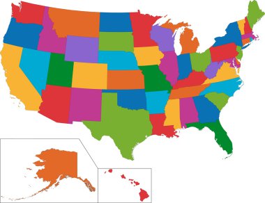
Colorful USA map with states
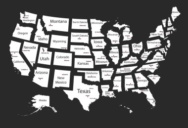
Usa states

Blue vector map of United States Of America isolated on white background

Alaska dark silhouette map isolated on white background

Ohio, Pennsylvania, Hawaii, Alaska, Indiana USA state outline art with custom lettering for prints and crafts. United states of America wall art of individual states

Icons States map. America states map icons on a white background.

Map of United States of America, USA, with state postal abbreviations. Simple flat vector illustration

Alaska post office, air mail, grunge rubber stamp on white background, vector illustration

USA 50 States Colorful Map and State Names vector

United States of America Capital States Hexagon Flags Shield

United States Map - Detailed Vector Illustration
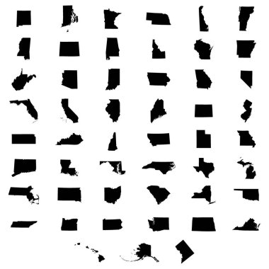
Set of US states map on a white background
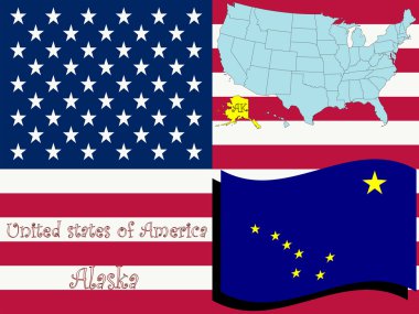
Alaska state illustration, abstract vector art

USA Road Map in colors of blue and map pointers with roads, water objects and cities.

Shiny vector stickers in form of Alaska state, USA

Shiny icon in form of Alaska state, USA - vector illustration

Map of the U.S. state of Alaska

Alaska outline and state flag illustation

Alaska - flat collection of US states flags. Flags of twelve flat icons of various shapes. Set of vector illustrations

United States map - vector illustration
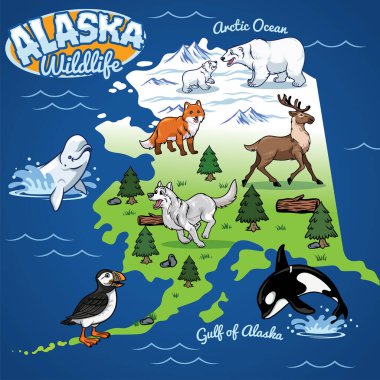
Alaska Wildlife map in cartoon style

Highly detailed vector silhouettes of US state maps, Division United States into counties, political and geographic subdivisions of a states, Pacific - Alaska, Hawaii - set 17 of 17

Isometric 3d of USA wildlife. Animals, birds and plants constructor elements isolated on white set. Build your own geography infographics collection. Vector illustration

Map of Alaska with animals, eskimos, forests, mountains, hunters, boats, fish and fishermen

Vector illustration for travel theme
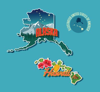
Illustrated pictorial map of Alaska and Hawaii, United States. Vector Illustration.

Map of the U.S. state of Alaska on a white background

Map of the U.S. state of Alaska

Accurate map of Alaska

Grunge rubber stamp with Dog Sled and name of Alaska

Label with name and map of Alaska

Contour map of the USA, globe and windrose on grid pattern. vector illustration

Silhouette map of the USA on the world map. All objects are independent and fully editable.

Accurate map of Alaska

State Alaska map on transparent background. Blank map of Alaska with regions in gray for your web site design, logo, app, UI. USA. EPS10.

Alaska - vector map

Map of North America. Detailed map of North America with States of the USA and Provinces of Canada. Template. Stock vector. EPS10.

Modern Map - Alaska county map with labels USA silhouette illustration
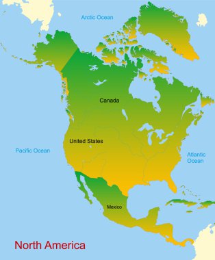
Detailed vector map of north america continent

North America Map. Isolated monochrome shape. Vector illustration.

Vector road map of the North American state of Alaska, United States of America

Accurate map of Alaska

Map of the USA. Image with clipping path and name of states. State mark. Vector illustration.

Alaska administrative and political map with flag

Vector set 10 of 10 Highly detailed silhouettes of US state maps, divided into counties with names and territory nicknames

Anchorage and Kenai Peninsula, Alaska, political map. Alaskas most populous city Anchorage, and south of it Kenai Peninsula, separated from the mainland between Cook Inlet and Prince William Sound.
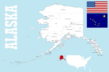
A large and detailed mpa of the State of Alaska with all islands, boroughs and main cities.

US State Alaska Political Map with capital Juneau, national borders, important cities, rivers and lakes. English labeling and scaling. Illustration.
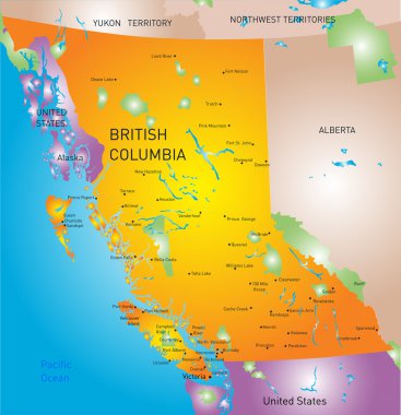
Vector british columbia province map

United States and Canada political map of administrative divisions. Blank black outline vector map
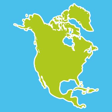
North America Map Green continent on blue background. Vector illustration

Canada highly detailed physical map,in vector format,with all the relief forms,regions and big cities.

High detailed North America time zones map. All elements separated in detached and labeled layers

Map of North America with separate countries
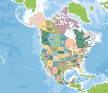
The largest countries of the North America are Canada, the United States and Mexico.

Map of North America with separate countries

Political map of North American countries Canada, United States of America and Mexico with administrative divisions. Thin black outline map with countries and states name labels. Vector illustration

USA map and flag - highly detailed vector illustration. Image contains next layers. There are land contours, country and land names, city names, water object names, flag, navigation icons.

Alaska simple logo. State map outline - smooth simplified US state shape map vector.

Vector map of North and Central America Continent with Countries, Capitals, Main Cities and Seas and islands names in classic soft colors.

Alaska Map Design Illustration vector eps format , suitable for your design needs, logo, illustration, animation, etc.

Canada Map Teal Colors. Regions and provinces. Highly detailed vector illustration.

United States Map - Vintage Detailed Vector Illustration

Modern Map - Alaska county map USA silhouette illustration

USA on North America map vector

Map of North America