Description:
The Baffin Island SVG vector presents a detailed outline of one of Canada's largest islands, located in the Arctic region. This vector format ensures scalability without loss of quality, making it suitable for various applications. The design captures the geographical contours and significant features of the island, including its rugged coastline and distinct terrain. Available in SVG format, it is ideal for both digital and print media. The clean lines and precise shapes facilitate easy editing, customization, and integration into different projects.
Usage ideas:
This Baffin Island vector can be utilized in educational contexts such as geography lessons, where students can learn about Arctic geography and ecosystems. It's also useful for travel agencies creating promotional materials for Arctic adventures and tourism. In design projects, the vector can enhance website graphics or infographics that focus on environmental topics, climate changes impacting the Arctic, or Canadian landscapes. Additionally, businesses may incorporate this image in brochures or flyers showcasing northern travel opportunities.

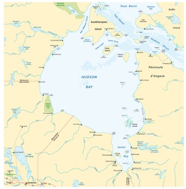
Vector map of canadian marginal sea hudson bay

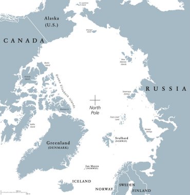
Arctic region political map. Polar region around the North Pole at the northernmost part of Earth. The Arctic Ocean without ice. Gray illustration with English labeling on white background. Vector.

Vector stroke dotted Baffin Island map in black color, small border points have diamond shape. Connect the path points and get Baffin Island map.

Canada highly detailed physical map,in vector format,with all the relief forms,regions and big cities.

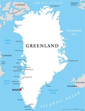
Greenland Political Map with capital Nuuk and important cities. Autonomous country within the Kingdom of Denmark. English labeling and scaling. Illustration.

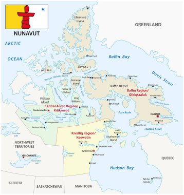
Nunavut administrative and political vector map with flag

Nunavut (provinces and territories of Canada, Canadian Arctic Archipelago) map vector illustration, scribble sketch Nunavut map

Vector map of the Canadian Queen Elizabeth Islands