
Map Free State of Bavaria on transparent background. Bavaria map with districts in gray for your web site design, logo, app, UI. Land of Germany. EPS10.
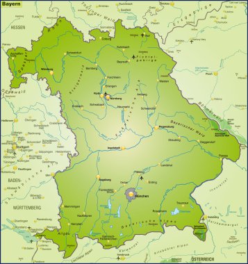
Map of Bavaria as an overview map in green
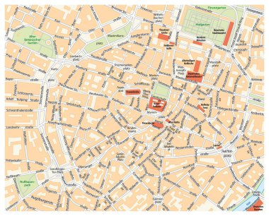
Vector city street map of Munich, Germany.

Vector road map of the Bavarian lake Chiemsee, Germany

Map of Bavaria with highways in pastel green
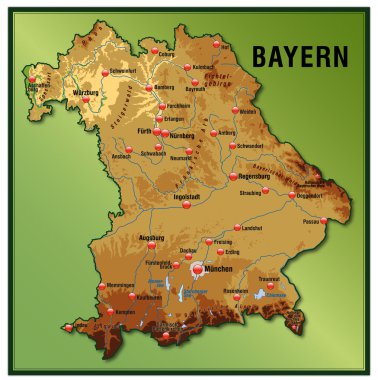
Map of Bavaria as an overview map with hight layers

Bavaria outline map set - vector version

Map and flag of Bavaria

Baden-Wurttemberg, Bayern, Berlin, Brandenburg outline maps

Neumarkt district (Federal Republic of Germany, rural district Upper Palatinate, Free State of Bavaria) map vector illustration, scribble sketch Neumarkt map

Bad Tolz-Wolfratshausen district (Federal Republic of Germany, rural district Upper Bavaria, Free State of Bavaria) map vector illustration, scribble sketch Bad Tolz Wolfratshausen map

Germany map icon, geography blank concept, isolated graphic background vector illustration .
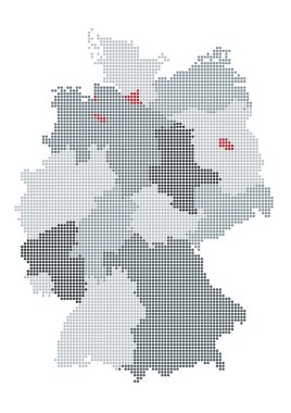
German map raster, the counties or states are grouped

Large detailed road map of Germany with topographic contours, all cities, villages, water objects, mountains and airports.

Large detailed road map of Germany with all cities, villages, water objects, mountains and airports.
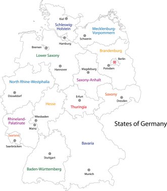
Outline Germany map with regions
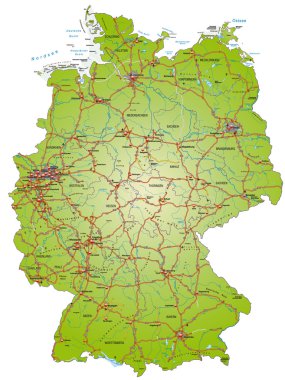
Map of Germany with highways and main cities
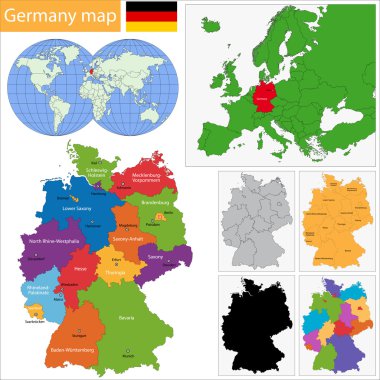
Germany map with regions and main cities

Highly detailed political map of Germany with its federal states contours, cities and 3D pin pointers collection

Map of Germany devided to 13 federal states and 3 city-states - Berlin, Bremen and Hamburg, Europe. Simple flat blank white vector map with black outlines.
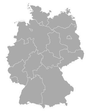
Map of Germany

Map of Germany with its federal states. Highly detailed map of Germany with administrative divisions (states), cities and pictogram navigation icons

High detailed germany map collection, red marked federal states in seperated map silhouettes,
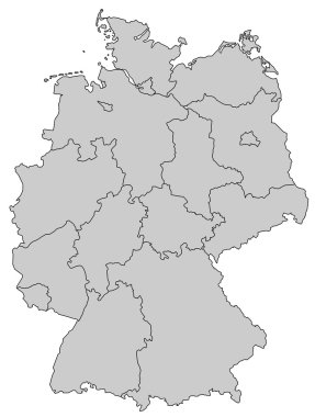
Germany Map - Provinces gray

Germany map with state capitals cities skylines vector illustration. All layers are labelled, editable and well organized

Map of Germany

Map Germany

Gray Germany map with regions isolated on white background

Germany political map divide by state colorful outline simplicity style.

Bavaria is a federal state of Germany
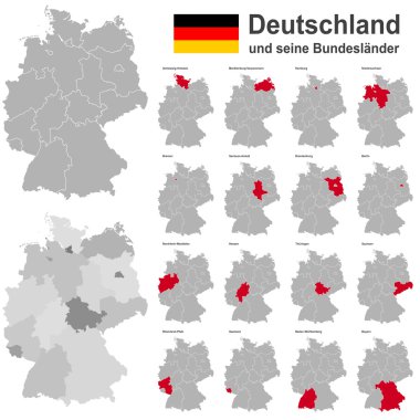
European country germany and the federal states

Handdrawn map of Germany with main symbols and lettering of main cities. Poster design or postcard illustration.

Stylized map of Germany. Travel illustration with German landmarks.

Black and white map of Germany

Map contains topographic contours, country and land names, cities, water objects, flag, roads, railways.
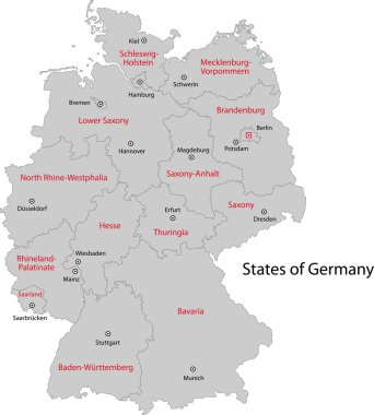
Gray Germany map with regions and main cities

Map of germany with all cities over one hundred thousand inhabitants in german language

Germany map icon of Bavaria, geography blank concept, isolated graphic background vector illustration .

Highly detailed map of Germany with with administrative divisions(states), cities and pictogram navigation icons. The url of the reference file is : http://www.lib.utexas.edu/maps/europe/germany.jp

Administrative and political map of Germany newly revised 2019 in black and white

Road and administrative map of the bavarian capital munich

Germany and its federal states, Berlin and its boroughs

Vector color detailed map of Germany with administrative divisions of the country, each federal states is presented separately in highly detailed and divided into regions

Map of Germany with all Federal States

Germany map with regions and main cities

Highly detailed political map of Germany with administrative divisions(states), cities and navigation icons collection
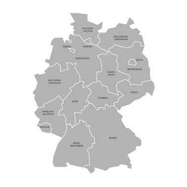
Map of Germany devided to 13 federal states and 3 city-states - Berlin, Bremen and Hamburg, Europe. Simple flat grey vector map with black labels.

Map of Bavaria with borders in gray

A detailed, colorful map of Germany with all counties and big cities.
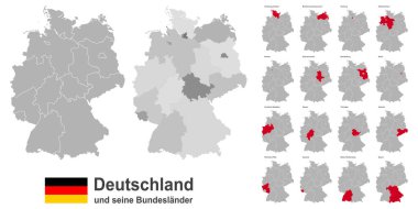
West european country germany and the federal states

Administrative and political vector map of Germany, newly revised 2019

Map of Germany devided to 13 federal states and 3 city-states - Berlin, Bremen and Hamburg, Europe. Simple flat grey vector map with white labels.

Germany map (colored by states and administrative districts) with subdivisions
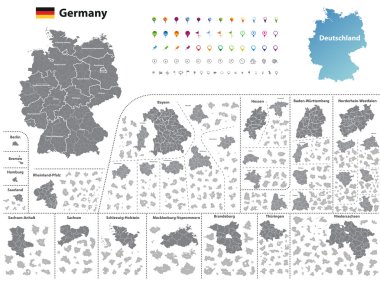
Federal states of Germany map with administrative districts and subdivisions
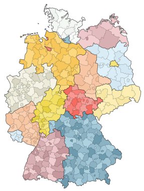
West european country germany and the federal states

This vector map of the German State of Bavaria includes 6 editable layers for each of the 5 administrative levels (municipalities, municipalities associations, subdistricts, districts, state) and the background

Regensburg (Bayern) blank outline map set

Blank map Germany. High quality map of Germany with borders of the regions. Stock vector. Vector illustration EPS10.

Map of Germany devided to 13 federal states and 3 city-states - Berlin, Bremen and Hamburg, Europe. Simple flat white vector map with black outlines and labels.

Map of Germany devided to 13 federal states and 3 city-states - Berlin, Bremen and Hamburg. Simple flat blank blue vector map silhouette.
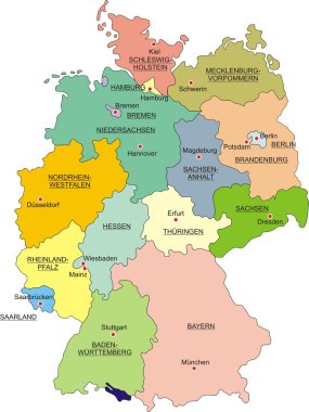
Map of Germany with national boundaries and national capitals

Stylized map of Germany. Travel illustration with German landmarks.
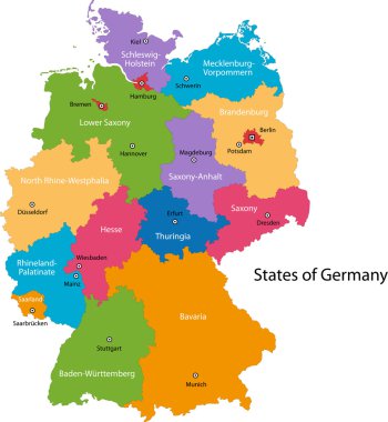
Colorful Germany map with regions and main cities

Map of Bavaria with main cities in green

Germany map of gray contour curves of vector illustration.

Germany infographics, statistical data, sights. Vector illustration

Highly detailed physical map of Germany,in vector format,with all the relief forms,regions and big cities.
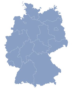
Vector map of Germany each division can be edited

Germany map line, linear thin vector. Germany simple map and flag.

Berchtesgadener Land (Bayern) blank outline map set

Germany map divided on West and East Germany with regions, card paper 3D natural vector

Germany map, new political detailed map, separate individual regions, with state names, isolated on white background 3D vector

Outlined Germany map country silhouette vector drawing template for your design.

Vector Map of Germany with Administrative borders, City and Region Names and international bordering countries in soft colors palette

Germany political map of administrative divisions - federal states. Solid light gray map with white line borders and labels.

Map of Bavaria with main cities in green

Political vector map of Germany with regions and their capitals. All layers detachabel and labeled.

3d vector map of Germany each division can be edited

Germany dark silhouette map isolated on white background

The detailed map of the Germany with regions or states and cities, capitals

Map of Germany devided to 13 federal states and 3 city-states - Berlin, Bremen and Hamburg, Europe. Simple flat vector map in four colors with white labels.

Map of Germany devided to 13 federal states and 3 city-states - Berlin, Bremen and Hamburg, Europe. Simple flat white vector map with black outlines and labels.

Map of Germany devided to 13 federal states and 3 city-states - Berlin, Bremen and Hamburg, Europe. Simple flat blank white vector map with black outlines.

Germany map icon, geography blank concept, isolated graphic background vector illustration .
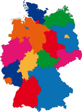
Map of administrative divisions of Germany

German map with provinces and flag in the background

Vector map of the state of Bavaria with major cities, Germany
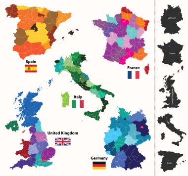
European regions map

Illustration map of Germany with landmarks. Editable vector illustration

Great coat of arms of Bavaria, Germany, isolated vector in official colors and Proportion Correctly. High detailed vector map - Bavaria/Bayern, silhouette illustration isolated. Province in Germany.

The Federal Republic of Germany is a federal parliamentary republic in central-western Europe

High detailed colored political map of Europe with countries' regions. Vector
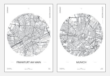
Travel poster, urban street plan city map Frankfurt am Main and Munich, vector illustration

Germany vector map with flag, globe and icons on white background

Map and flag of Bavaria

Germany travel line icons and culture symbols. Vector set

Germany map with Germany flag inside and ribbon
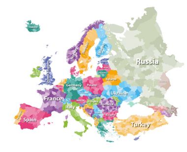
Colored political map of Europe with countries' regions. Vector illustration

Germany map with flag

High detailed germany map silhouette with national german flag colors.