
Benelux single states political map. Region formed by the countries Belgium, Netherlands and Luxembourg. The name Benelux comes from the first letters of the countries. Illustration over white. Vector
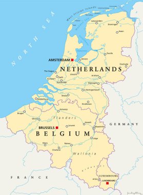
Benelux. Belgium, Netherlands and Luxembourg. Political map with capitals, borders and important cities. Benelux Union, a geographic, economic, cultural group. English labeling. Illustration. Vector.

Benelux states Belgium, Netherlands and Luxembourg pink highlighted in the political map of Europe. Vector illustration.

Benelux countries, gray colored political map. Belgium, Netherlands and Luxembourg. Benelux Union, a geographic, economic and cultural group. English labeling. Illustration on white background. Vector

Benelux Union, Luxembourg, Netherlands and Belgium flags

European union map with country flags
Flag of Netherlands vector illustration
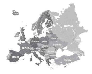
Europe vector high detailed political map with regions borders

Eu map vector background. European union icon europe stars design illustration design
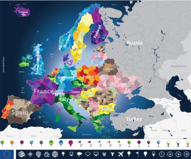
High detailed Europe map with coutries names and region borders
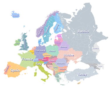
Europe vector high detailed political map with regions borders
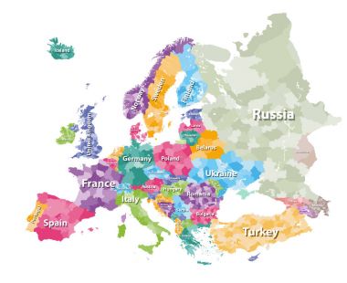
Colored political map of Europe with countries' regions. Vector illustration
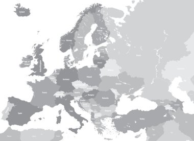
Europe high detailed vector political map. All elements separated in detachable and labeled layers

Blue European Union Map
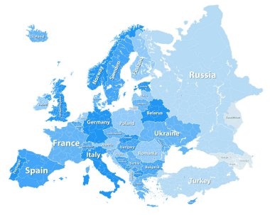
Europe vector high detailed political map with regions borders

High detailed colored political map of Europe with countries' regions. Vector
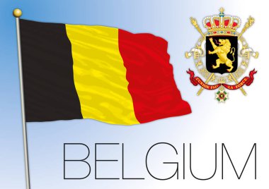
Belgium official national flag and coat of arms, vector illustration, european union
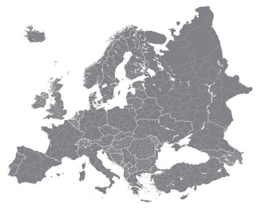
Europe vector high detailed political map with regions borders
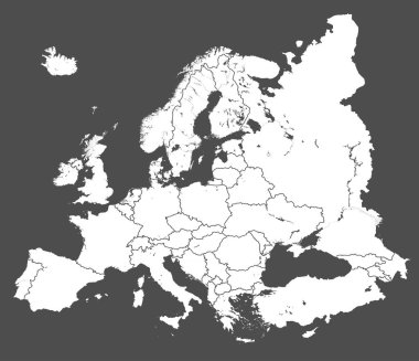
Europe vector political map silhouette
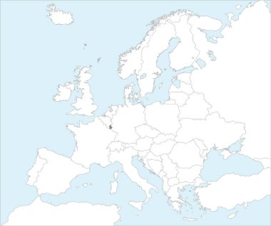
Gray CMYK national map of LUXEMBOURG inside detailed white blank political map of European continent on blue background using Mollweide projection
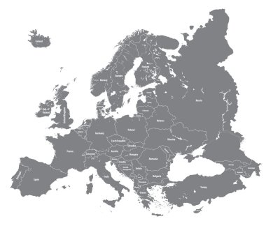
Vector European high detailed political map

Belgium official coat of arms on the national flag, european country, vector illustration

High detailed Belgium physical map with labeling.
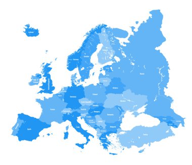
European political map. All layers detachable and labeled
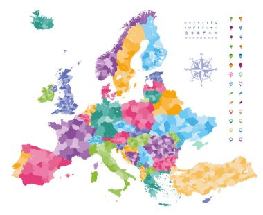
Europe map colored by countries with regions borders. Navigation, location and travel icons collection.
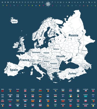
Europe vector high detailed political map with regions borders
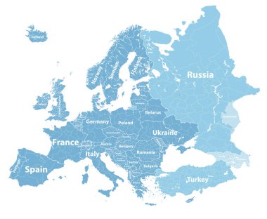
Europe vector high detailed political map with regions borders
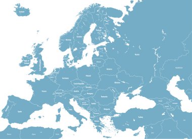
Europe high detailed political map. All elements detachable and labeled. Vector
High detailed silhouette of Europe map

Flag of Luxembourg on European Union. Luxit - Luxembourg Exit EU European Union Flag with Title EU exit for Newspaper and Websites. Isolated Vector EU Flag with Luxembourg Country and Exit Name Luxit.

European Union member states flag map vector illustration.

Highly Detailed Europe Map with the European Union member states highlighted and with capital dots.

3 dimensional infographics political map of Belgium, with every province easy selectable and editable in one click. Content labeled in Layers panel.

Luxembourg official national flag and coat of arms, European Union, vector illustration

Europe map with the European Union member states flags. Vector illustration.

Highly Detailed Europe Map with the European Union member states highlighted.

Luxembourg official national flag and coat of arms, European Union, vector illustration

Luxembourg marked by blue in grey political map of Europe. Vector illustration.

European union maps vector set

3 dimensional infographics map of European Union countries, with every state easy selectable and editable in one click. France highlighted in green, content labeled in Layers panel.

Vector illustration of black outline Netherlands map. .

Map of Netherlands with paper cut effect. Rivers and lakes are shown.

Highly Detailed Europe Political Map with the European Union member states.

Map of Belgium with paper cut effect. Rivers and lakes are shown.
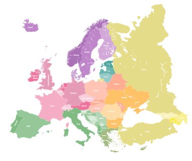
European colorful political map.
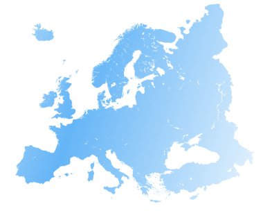
High detailed Europe map.
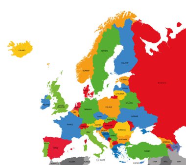
Detailed vector political map of Europe

Map of Europe colored by countries with regions borders. Flags of all european countries. Navigation, location and travel icons. All elements separated in labeled and detached layers. Vector

Map of BeNeLux countries with rivers and lakes and national flags. Map consists of separate maps of Belgium, Netherlands and Luxembourg that can be used separately.

Europe map colored by countries with regions borders. Navigation, location and travel icons collection. All elements separated in labeled and detachable layers. Vector
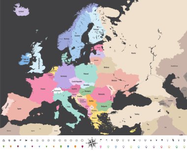
Europe high detailed vector political map with location\navigation icons.

Set of detailed textile badges representing country flags of Europe

Flag of Grand Duchy of Luxembourg made of colorful splashes

Europe vector high detailed political map with regions borders

Belgian national official flag. Patriotic symbol, banner, element, background. Correct colors. Flag of Belgium in heart shape isolated on white background. Golden frame. Vector

East Flanders Province map, Provinces of Belgium. Vector illustration.

Illustration vector flag of Netherlands. Holland flag. National symbol of country in Europe. EU member.
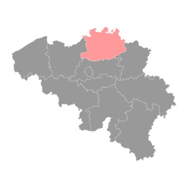
Antwerp Province map, Provinces of Belgium. Vector illustration.