
Mauritius country simplified map. Blue silhouette with thick black contour outline isolated on white background. Simple vector icon

Mauritius country thick black outline silhouette. Simplified map. Vector icon isolated on white background.

Black silhouette of a card and white silhouette of a Mauritius symbo
Outline of Mauritius map

African country set with map pointers
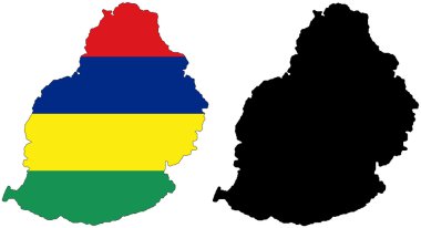
Layered editable vector illustration country map of Mauritius,which contains two versions, colorful country flag version and black silhouette version.
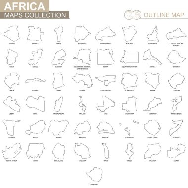
Outline maps of African countries collection, black lined vector map.

Mauritius map blackboard chalkboard vector
Mauritius map. Island silhouette icon. Isolated Mauritius black map outline. Vector illustration.
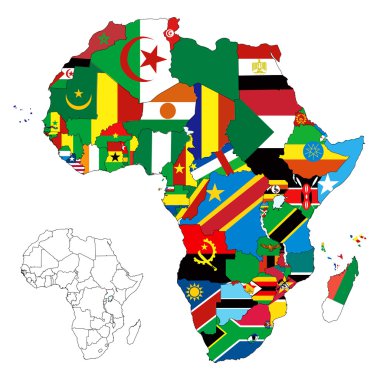
Vector illustration for the continent of Africa. Over 50 countries including several small islands, rivers and lakes not visible unless zoomed in. Very editable
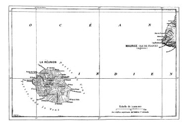
Reunion and Mauritius Map, vintage engraved illustration. Dictionary of words and things - Larive and Fleury - 1895.

Map of Mauritius. Vector illustration

Map of Mauritius, during the 1890s, vintage engraving. Old engraved illustration of the Map of Mauritius.

Map of Mauritius. Vector illustration

African country set with map pointers

Mauritius map with flag inside and ribbon

Map of Mauritius. Vector illustration. World map

African country set with map pointers

Mauritius flag map background. The flag of the country in the form of borders. Stock vector illustration

Vector map Mauritius. Isolated vector Illustration. Black on White background. EPS 10 Illustration.

Vector map Mauritius. Isolated vector Illustration. Black on White background. EPS 10 Illustration.

Green Map of Mauritius With Outline Vector Design Template. Editable Stroke
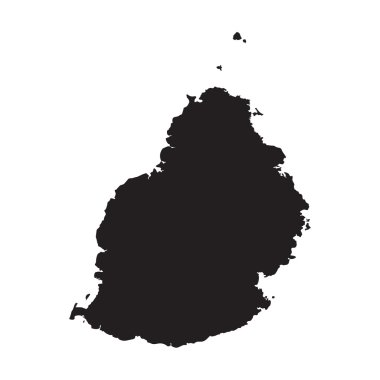
Black map of Mauritius
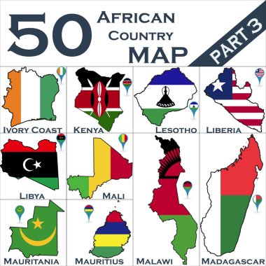
African country set with map pointers

Mauritius map outline icon for geography travel, education, and design

Vacoas-Phoenix city (Republic of Mauritius) map vector illustration, scribble sketch Vacoas Phoenix, Villes Jumelles map