
Thin black outline map of European Union - EU. Vector illustration.

Blank vector world map with sovereign countries and larger dependent territories. Every state is a group of objects in dark grey color with white borders. South Sudan included.

Highly Detailed South America Blind Map With Capital Dots.

Blind map of Australia divided into states and territories. White flat map with black borders on white background.

Highly detailed political World map with labeling. Vector illustration.

Highly Detailed Europe Blind Map With Capital Dots.

Highly Detailed North America Blind Map.

Highly detailed political World map. Vector illustration.

Highly Detailed world blind map, vector illustration.

Blind map of Spain with navigational bubble icon set.

Simplified white world map silhouette on blue circular gradient background. Vector illustration.

Solid black silhouette map of United States of America without Alaska and islands, vector illustration

USA blind map navigation set and travel icons.

Black color blind map of Spain with pictogram icon set.

Highly detailed blank and outline map set of Germany with administrative divisions(states) and pictogram navigation icons

Infographic for economic, sociological, demographic and other presentations. The blind map of Germany, timeline and a number of different blank labels ready for your text.

World map silhouette without states, vector illustration

Highly Detailed world map Silhouette with labeling, vector illustration. White&Blue.

World map outline. Thin country borders and thick land contour on white background. Simple high detail line vector wireframe.

Blank political map of South America. Simple flat vector outline map.

Highly Detailed South America Blind Map.

World map with country borders, thin black outline on white background. Simple high detail line vector wireframe.

Highly Detailed Robinson projection of the world with labeling, vector map.

Black Peru map without region borders

Blank map of World with thin black smooth country borders on white background. Simplified flat vector illustation.

Vector political map of world. Black outline on white background with country name labels.

Highly Detailed Robinson projection of the world, vector map.

World map with country borders, thin black outline on white background

Vector political map of world. Black outline on white background with country name labels.

Blind map of Austria divided to regions, vector illustration

Black Ecuador map with province borders
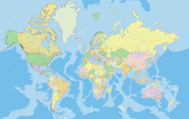
Highly detailed political World map. Vector illustration.

Highly Detailed world blind map with capital dots, vector illustration.

World map with country borders, thin white outline on black background. Simple high detail line vector wireframe.

Highly Detailed Europe Blind Map.

Highly Detailed world map Silhouette, vector illustration. White&Blue.

Simple all european union countries in one outline map eps10

Blank political map of Argentina. Administrative divisions - provinces. Simple black outline vector map
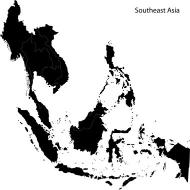
Black Southeastern Asia map with countries and capital cities

World map with smoothed country borders. Thin black outline on white background.

Multi-colored blank political vector map of World with national borders of countries on white background.

Black outline map of World. Simple vector illustration.

Highly Detailed North America Blind Map With Capital Dots.

World map with smoothed country borders. Thin black outline on white background

Highly Detailed Ohio Blind Map.
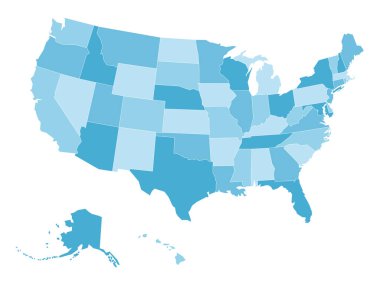
Blank map of United States of America, aka USA, divided into states in four shades of blue. Simple flat vector illustration on white background.

Simplified white world map silhouette on turquoise blue background. Vector illustration.

Seeing eye dog is getting directions for blind owner.

Highly detailed political World map. Vector illustration.

World map with country borders, thin white outline on black background. Simple high detail line vector wireframe.

South America detailed continent blind map, silhouette map and political map.
World map with smoothed country borders. Thin white outline on dark grey background

Multi-colored blank political vector map of World with national borders of countries on white background.

Highly detailed political World map. Vector illustration.

Map of Canada. Black and blind maps. Regions and provinces. Highly detailed vector illustration.

Highly detailed political World map. Vector illustration.

North America blind map navigation set. D.I.Y.infographic set.All elements are separated in editable layers clearly labeled. All layers are subscribed.

Canada detailed outline map and icons. D.I.Y.infographic set. All elements are separated in editable layers clearly labeled.

Blank map of United States of America, aka USA, divided into states in four shades of yellow. Simple flat vector illustration on white background.

Blank map of United States of America, USA, divided into states in four shades of turquoise blue. Simple flat vector illustration on white background.

Travel Italy template vector showing the plane, car, train and ship approaching the blind Italian map. Transparent names of Italian landmarks are on the righr side of the vector.

Yellow radial gradient silhouette map of United States of America, aka USA. Vector illustration.

Canada maps with pin markers.All elements are separated in editable layers clearly labeled. All layers are subscribed.

Travel France template vector showing the airplane approaching the blind French map. Vector contains page curl effect with a place for your text in an exposed corner.

Blind map with location of Brazil on the South America continent.Brazil flag, country code oval stickers, licence plates and GPS set icon.

Travel Italy template vector showing the airplane approaching the blind Italian map on the light background. Vector contains page curl effect with a place for your text in an exposed corner.

South America blind map with countries flags overlaid on outline state maps.
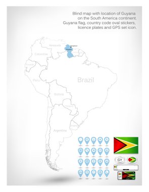
Blind map with location of Guyana on the South America continent.Guyana flag, country code oval stickers, licence plates and GPS set icon.

Blue radial gradient silhouette map of United States of America, aka USA. Vector illustration.

Vector of a confused blindfold businessman with question mark trying to hit a target with dart

Switzerland outline map with map markers. All elements are separated in editable layers clearly labeled.

Orange radial gradient silhouette map of United States of America, aka USA. Vector illustration.
Rounded Thin Icon Set 01 - Geotag, Drop, Leaf, Box, View, Glasses, Coins, Map, GPS, Movie, Signal, Tool tip

The world map on the wall - hanging curtains, parquet floor

Seamless urban city pattern. Public transport and people. Wrapping paper vector template.

Black Western Asia map with countries and capital cities

Travel Spain template vector showing the airplane approaching the blind red Spanish map. Vector contains page curl effect with a place for your text in an exposed corner.

Travel Great Britain template vector showing the airplane approaching the blind white UK map on the dark background. Vector contains page curl effect with a place for your text in an exposed corner.

Travel Germany template vector showing the airplane approaching the blind dark gray German map on the light gray background. Vector contains page curl effect with a place for your text in an exposed corner.

Flat design street name sign icon vector illustration

Black Suriname map with districts borders

Black Venezuela map with state borders

Green Ecuador map with province borders

Texture of concrete blinding coat with movement joint.

Black Paraguay map with department borders

Black Guyana map with region borders

Black Uruguay map with department borders

Casino background.set of objects for a casino on a background of red drapes.vector

Casino background.set of objects for a casino on a background of red drapes.vector

Smiled location icons. Vector set style is bicolor flat images, intensive red and black symbols, isolated on a white background
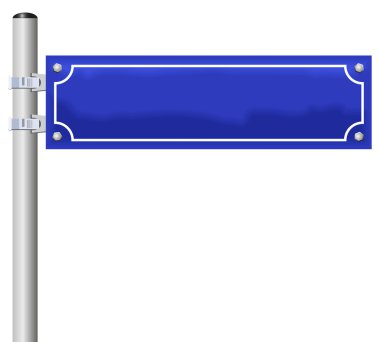
Blank street sign, fixed on a pole - an individual street name can be labeled.

404 error

Highly Detailed Pennsylvania Blind Map.

Highly Detailed Texas Blind Map.

Highly Detailed Kentucky Blind Map.

A walking man with cane, navigation symbols, confident expression

Country world map set on transparent background. Vector isolated web illustration

A versatile set of 42 Flat PIXEL perfect vector icons focused on Wayfinding, delivered in crisp 128x128 format ideal for mobile and web applications.
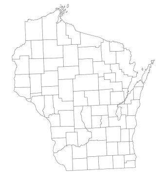
Highly Detailed Wisconsin Blind Map.

Highly Detailed Utah Blind Map.