Description:
The Border Seychelles SVG vector presents a decorative border design inspired by the unique aesthetics of the Seychelles islands. This vector format ensures scalability and versatility, allowing for easy adjustments in size without losing quality. The design features intricate patterns that can be used for various applications. As an SVG file, it is compatible with many design software programs. This border is perfect for enhancing the visual appeal of crafts, invitations, and presentations. The crisp lines and clear shapes make it suitable for both digital and print formats. Overall, this SVG border adds a touch of creativity to any project.
Usage ideas:
This Border Seychelles SVG vector can be effectively used in a range of commercial and educational projects. For instance, designers can incorporate it into wedding invitations for a tropical theme or use it in promotional materials for travel agencies focusing on island getaways. It is also suitable for educational resources, such as geography projects or travel brochures, allowing students to enhance their presentations visually. Additionally, crafters can use this border design in scrapbooking, creating custom stationery, or even as a stencil for painting. The possibilities are varied and engaging.

Seychelles map. Blank vector map of the Island. Borders of Seychelles for your infographic. Vector illustration.

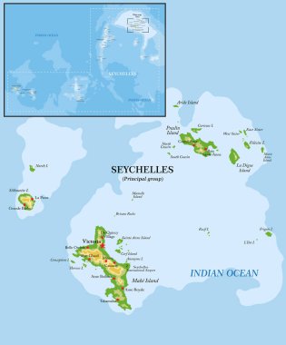
Seychelles islands highly detailed physical map

Seychelles map, islands with names, old paper background vector

Indian Ocean political map. Countries and borders. World's third largest ocean division, bounded by Africa, Asia, Antarctica and Australia. Named after India. Illustration. English labeling. Vector.

Frame made of African countries flags vector illustration

Reunion map vector illustration. Global economy. Famous country. Eastern Africa. Africa.

Background with African countries flag icons frame vector illustration

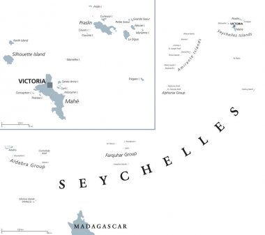
Seychelles political map with capital Victoria on the main island Mahe. Republic, archipelago and country in the Indian Ocean. Gray illustration isolated on white background. English labeling. Vector.

Dolphin, turtle, fish, starfish, crab, octopus, shell, jellyfish, seahorse, seaweed, waves. Underwater sealife. There is place for text on white background.

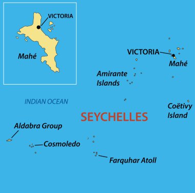
Republic of Seychelles - vector map

Vector map of Seychelles with high details

Southern africa - vector maps of territories

Vector map Seychelles. Isolated vector Illustration. Black on White background. EPS 10 Illustration.

Vector map Seychelles. Isolated vector Illustration. Black on White background. EPS 10 Illustration.

Vector map Seychelles. Isolated vector Illustration. Black on White background. EPS 10 Illustration.

Vector road map of Seychelles island of Mahe

Seychelles National Map with flag illustration. Vector illustration with national flag and map (simplified shape) of Republic of Seychelles. Volume shadow on the map

Highly detailed physical map of Africa,in vector format,with all the relief forms,countries and big cities.

Seychelles map on white background. vector illustration.

Stamp Postal Desroches Island of Seychelles. Map Silhouette rubber Seal. Design Retro Travel. Seal of Map Desroches Island grunge for your design. Seychelles. EPS10

La Digue Logo. Map of La Digue with island name and flag. Attractive vector illustration.

Seychelles product label set. seychelles flag, premium made in seychelles . Labels, seals, stamps, flags, icons

Seychelles Flag Postage Stamp on white background. Vector illustration.

Praslin island (Republic of Seychelles, Indian Ocean, Inner Islands) map vector illustration, scribble sketch Ile de Palmes and Cousine map

Abstract rounded World Map with pinned detailed Seychelles map. Vector Illustration.

East africa administrative map with flags

Highly detailed physical map of Africa,in vector format,with all the relief forms,countries and big cities.