
Simple pastel vector map with black borders and names of boroughs of the New York City, USA

Detailed borough map of Brooklyn New York city, vector poster or postcard for city road and park plan

New York city map different colors and sample text

Map of the roads and neighborhoods of new york borough brooklyn

Vector poster map city New York

Vector city map of New York with well organized separated layers. Vector illustration.

New York big apple t-shirt graphic design with city map. Tee shirt print, typography, label, badge, emblem. Vector illustration.

Vector map of the New York City NY, USA
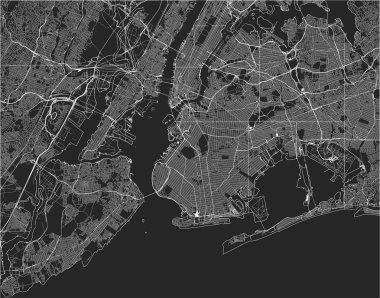
Vector map of the New York City NY, USA
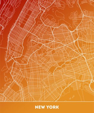
Vector city map of New York with well organized separated layers. Vector illustration.

New York vector map

Brooklyn (Wisconsin) blank outline map

New York City Map with best quality

Vector detailed map New York

New York city map poster blue colors
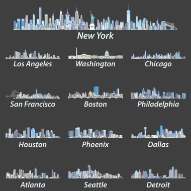
United States largest cities skylines in tints of blue color palette. Vector illustration

Black and white New York City map silhouette background

Outline map of New-York

Vector map of the New York City NY, USA

High resolution outline map of New York City with NYC boroughs. Each boroughs placed on a separate layer.
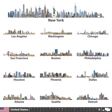
Vector illustration of largest United States city skylines. Navigation, location and travel icons; flag and map of United States of America

Black and white printable New York city map, poster design, vector illistration.
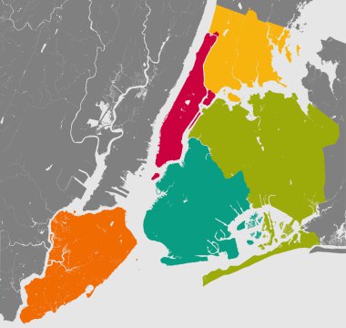
High resolution outline map of New York City with NYC boroughs. Each boroughs placed on a separate layer.
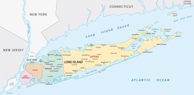
Map of of long Iceland in new york state

Vector map of the New York City NY, USA

New York City blue street map texture

New York colored vector map

Detailed borough map of Brooklyn New York city, color vector city street plan, printable travel poster or postcard

New York City gray political map. Most populous city in the United States located in the state of New York. Manhattan, Bronx, Queens, Brooklyn and Staten Island. English labeling. Illustration. Vector

Vector map of the New York City NY, USA

Urban New York City map. Map of NYC, USA borders. Vector fill version including streets.

Vector highly detailed political map of New York with all regions, roads and rivers. All elements are separated in editable layers clearly labeled.EPS 10

Black simple detailed street roads map on vintage beige background of the quarter Manhattan borough of New York City, USA

New York City Big Area Map, Downtown Manhattan, Brooklyn, Jersay City in Very rich details. Very Large Vector File

Simple gray vector map with white borders of boroughs of the New York City, USA

Vector map of the New York City NY, USA

Black and white New York city map background

Vector map of the New York City NY, USA

Vector map of the New York City NY, USA

Simple overview map of New York City, United States

Vector map of the New York City NY, USA

Detailed borough map of Brooklyn New York city, monochrome vector poster or postcard city street plan aerial view

Guide to New York. illustrated city map with main streets and landmarks. Tourist route. Editable Vector Illustration.

Vector map of the New York City NY, USA

Vector color map of New York. City Plan of New York. Vector illustration

Vector map of the New York City NY, USA

Map of Long Island

New York Manhattan Illustration Map.

Yellow and blue abstract New York map background
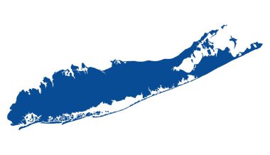
Map of Long Island

New York City, political map. Most populous city in the United States, located in the state of New York. Manhattan, Bronx, Queens, Brooklyn and Staten Island. English labeling. Illustration. Vector.

Abstract vector illustrations of United States city skylines (New York, Chicago, San Francisco and Los Angeles) in tints of blue color palette with map and flag of United States

Black simple detailed street roads map on vintage beige background of the quarter Brooklyn borough of New York City, USA
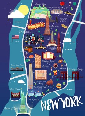
New York Manhattan Illustration Map.

Simple high detailed map of Long Island New York, USA. Vector illustration

Cartoon Map of New York with Legend Icons

Abstract vector illustrations of United States city skylines in different colorful palettes

Vector illustration of largest United States city skylines in black and white color palette. Navigation, location and travel icons; flag and map of United States of America

New York big apple t-shirt graphic design with city map. Tee shirt print, typography, label, badge, emblem. Vector illustration.
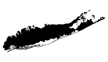
Map of Long Island

New York map vector design templates isolated on white background

T-shirt print design. Set of various vintage stamp. Printing and badge applique label t-shirts, jeans, casual wear. Vector illustration.

New York City. Travel map and vector landscape of buildings and famous landmarks. Vector illustration.

New York city t-shirt design with NYC map. Typography graphics for tee shirt and apparel print with New York map and slogan. Vector illustration.

Vector map of United States of America with largest cities' skylines

T-shirt and apparel vector design with the Statue of Liberty and New York skyline, print, typography, poster, emblem.

New york t-shirt and apparel vector design, print, typography, poster, emblem, stamp

Freehand drawing Sites New York City
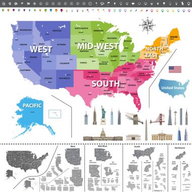
United States of America map colored by regions. Navigation, location icons; flag and landmarks of United States. All elements separated in detachable and labeled layers. Vector

Isometric vector illustration of 2 floor living house from red bricks. New York block. Brooklyn apartment.

Vector map of the city of Baltimore, Maryland, USA

South Brooklyn map, New York city, streets and district. City map. Usa

Vector map of the New York City NY, USA
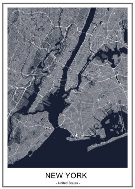
Vector map of the New York City NY, USA

Vector map of the city of Baltimore, Maryland, USA

Map of Ny-York city

High resolution map of New York City with NYC boroughs.

Vector graphic flat icons and images representing the United States of America.

Vector map of the New York City NY, USA

Vector map of the New York City NY Manhattan, USA

Large vector map of New York ultra detailed editable

New York vintage t-shirt graphic design with city map. Tee shirt print, typography, label, badge, emblem. Vector illustration.

Map of Ny-York city

New York tee print with city streets. T-shirt design, graphics, stamp, label, typography.

Nyc park vector illustration in cartoon top view style.
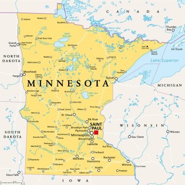
Minnesota, MN, political map, with capital Saint Paul and metropolitan area Minneapolis. State in the upper Midwestern United States. Nicknamed Land of 10,000 Lakes, North Star State and Gopher State.
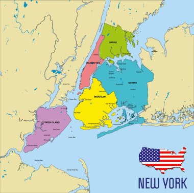
Vector highly detailed political map of New York with all regions, roads and rivers. All elements are separated in editable layers clearly labeled.EPS 10

Vector map of the New York City NY Manhattan, USA

Brooklyn map, New York city, streets and district. City map. Usa

Vector map of the city of Baltimore, Maryland, USA

Vector map of the New York City NY Manhattan, USA

Vector map of the New York City NY, USA

Manhattan nyc map on black . Black and white hand drawn illustration. Icon sign for print and labelling.

New York addicted t-shirt and apparel vector design, print, typography, poster, emblem.

New york tee print with city streets t shirt design graphics stamp

New York city detailed editable map with cities and towns, geographic sites, roads, railways, interstates and U.S. highways. Vector EPS-10 file, trending color scheme

Freehand drawing Sites New York City

Vector map of the New York City NY, USA

New York t-shirt and apparel vector design, print, typography, poster, emblem

Vector highly detailed political map of New York with all regions, roads and rivers. All elements are separated in editable layers clearly labeled.EPS 10