Detailed vector poster city map Budapest

Budapest colored vector map

Budapest city map silhouette. vector illustration

Budapest Vector Map, Artprint. Black Landmass, White Water and Roads.

Hosok tere - one of the major squares in Budapest, Hungary

Hungary symbols in the form of heart. Culture of Hungary.

Hungary map | Vector detailed color Hungary map

Budapest city plan, detailed vector map

Vector detailed color Hungary map

Highly detailed physical map of the Hungary, in vector format,with all the relief forms,regions and big cities.

Vector map of Hungary. High detailed country map with division, cities and capital Budapest. Political map, world map, infographic elements.

The Hungary map divided in counties with labels

Counties of Hungary. Map of regional country administrative divisions. Colorful vector illustration.

High detailed Hungary road map with labeling.

Hungary - Highly detailed editable political map with labeling.

Hungary map administrative division, separates regions and names individual region, design card blackboard chalkboard vector

Hungary map, black and white detailed outline regions of the country. Vector illustration

Hungary - Highly detailed editable political map with labeling.

Low poly map of Hungary. Geometric illustration of the country. Hungary polygonal map. Technology, internet, network concept. Vector illustration.

Culture of Hungary. Hand drawn symbols of Hungary. Vector round illustration.

High detailed Hungary physical map with labeling.

Hungary outline polygonal map

Liberty Bridge in Budapest, Hungary, connects Buda and Pest across the River Danube

Highly detailed editable political map with separated layers. Hungary.

The Hungary map divided in counties and isolated on white background

Hungary Map Icon Illustration Element Symbol Design

Map of administrative divisions of Republic of Hungary

Hungary country black outline and colored country silhouettes in three different levels of smoothness. Simplified maps. Vector icons isolated on white background.

Map of administrative divisions of Republic of Hungary

Hungary Map Icon Illustration Element Symbol Design

Hungary outline polygonal map

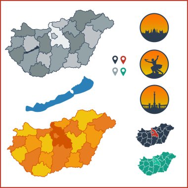
Vector map of Hungary with colorful counties on separate named layers and Hungarian symbols

Stylized vector Hungary map showing big cities, capital Budapest, administrative divisions and country borders

Vector illustration of Europe high detailed regions map with european cities skylines outlines icons

High Quality map of Budapest is a city in Hungary, with borders of districts

Location of Hungary on the Europa continent

Hungary map, administrative division with names, old paper background vector

3d isometric map of Budapest is a city of Hungary , vector illustration

Vector map of Hungary regions gray monohromatic

Map of administrative divisions of Republic of Hungary

Vector map Hungary. Isolated vector Illustration. Black on White background. EPS 10 Illustration.

Map of Hungary. Country closes border against refugees. Map of States with barbed wire. European country protects its borders. Hungarian Flag. Surrounded by perimeter fence

Vector map of Hungary isolated on white background. Travel Vector Illustration.

Travel around the world. Hungary. Watercolor map

Map of Hungary. Low poly illustration of the country. Geometric design with stripes. Technology, internet, network concept. Vector illustration.

Map of Hungary. origami map concept

Dotted map of Hungary for your design, concept Illustration.

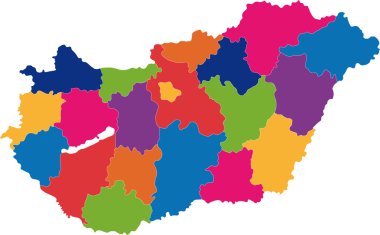
Vector map of Hungary regions rainbow colors

Map of administrative divisions of Republic of Hungary

Map of Hungary. stylized map concept

Low Poly Hungary Map with National Colors - Infographic - Vector Illustration

Map of Hungary vector

Hungary map with flag inside on the blackboard. Chalk sketch vector illustration

Hungary map, administrative division, separate individual states with state names, color map isolated on white background vector

Republic of Hungary isolated maps and official flag icon. vector Hungaian political map icons with general information. European country geographic banner template

Map of administrative divisions of Republic of Hungary

Vector illustration of a map of Europe with the state of Hungary in the appearance of the Hungarian flag and Hungarian ribbon isolated on a white background

Shiny vector stickers in form of Hungary

Republic of Hungary isolated map and official flag icons. vector Hungaian political map 3d illustration. Central Europe country geographic banner template

Map of Hungary. Vector illustration

Vector detailed map of Hungary country

Colorful map of Hungary, stylized concept

Map of administrative divisions of Republic of Hungary

Republic of Hungary isolated map and official flag icons. vector Hungaian political map outline. Central Europe country geographic banner template

Budapest city silhouette skyline. Hungary - Budapest city vector city, hungarian linear architecture, buildings. Budapest city line travel illustration, landmarks. Hungary flat icon, hungarian outline

Budapest city map silhouette. vector illustration

Budapest outline map. Vector map of Budapest city area within its borders. Grey with shadow on white background. Isolated illustration.

Budapest silhouette skyline. Hungary - Budapest vector city, hungarian linear architecture, buildings. Budapest line travel illustration, landmarks. Hungary flat icon, hungarian outline design banner

Budapest, hungary vector line icon, sign, illustration on white background, editable strokes

Map of administrative divisions of Republic of Hungary

Hungary map on a world map with flag and map pointer. Vector illustration

Hungary country map with shadow effect presentation

Contour of Hungary in grey and in flag colors

Outline and silhouette map of Hungary - vector illustration hand drawn with black lines, isolated on white background

Vector map of Hungary province gray monohromatic

Sketch Hungary letter text map, Republic of Hungary - in the shape of the continent, Map Hungary - black and brown vector illustration

Hungary country silhouette. High detailed map. White country silhouette with dropped long shadow on beige background.

Budapest city map silhouette. vector illustration

Flag of Hungary from brush strokes and Blank map Hungary. High quality map of Hungary and flag on transparent background. Stock vector. Vector illustration EPS10.

Vector illustration - background with hungarian map

Vector illustration of a map of Europe with highlighted Hungary and Hungarian flag isolated on a white background

The detailed map of Hungary with regions or states. Administrative division

Hungary vector set. Detailed country shape with region borders, flags and icons isolated on white background.

Map of Hungary for your design, concept Illustration.

Hungary symbols in the form of heart. Culture of Hungary.

Hungary map and words cloud with larger cities

Vector illustration white map of Hungary on black circle, isolated on white background

Map of administrative divisions of Republic of Hungary

Black abstract map of Hungary

Vector illustration of a vintage sticker in form of Hungary

Hungary Grunge Retro Map - Three silhouettes Hungary maps with different unique letterpress vector textures - Infographic and geography resource

Design Element for HONGARIA National Flag - Vector

Map of Hungary with decoration of national flag, vector illustration

Budapest, Csongrad, Fejer, Gyor-Moson-Sopron outline maps

Monochrome vector Hungary map

Highly detailed editable political map with separated layers. Hungary.

Hungary Map Silhouette with National Flag Design

Red CMYK national map of HUNGARY inside detailed beige blank political map of European continent on blue background using Mollweide projection