Flags signs vector illustration

World globe icon. American view.
Fflags set vector, vector illustration

North and South America, Europe, Africa Global World
Flags set vector, vector illustration
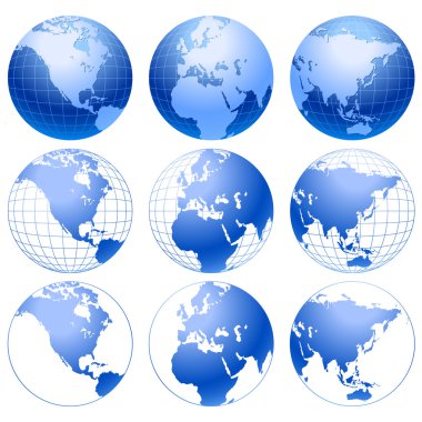
Set of 9 blue globe icons, isolated on white background.
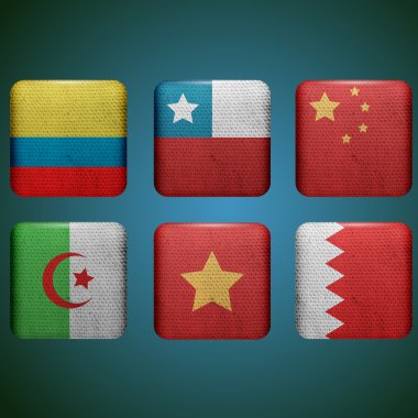
Flags set vector, vector illustration

Icons of Earth on a white background The base map is from http://www.lib.utexas.edu/maps/world.html

Blue Map of North America
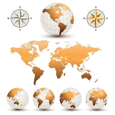
Earth globes with detailed world map, vector.

Blue vector globe. North America.

Vector icon

Set of golden globes on beige background, illustration.
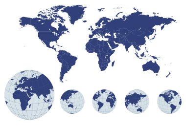
World map with earth globes, editable vector.

Icon of Earth on a white background
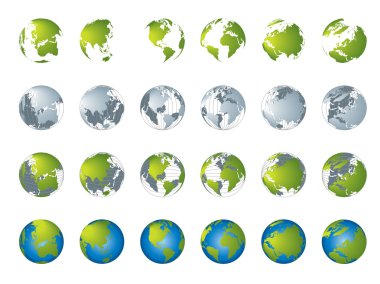
World map, 3D globe series

Blue World map with color points
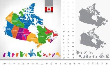
Political map of Canada. Regions and provinces, navigation icons. Highly detailed vector illustration.

Icon of Earth on a white background

Icon of Earth on a white background

Europe, North and South America, Africa Global World, Globe Icon 3D illustration, Glossy, Shiny Sphere with Global Map in Subtle Blues giving a transparent fee

Icon of Earth on a white background
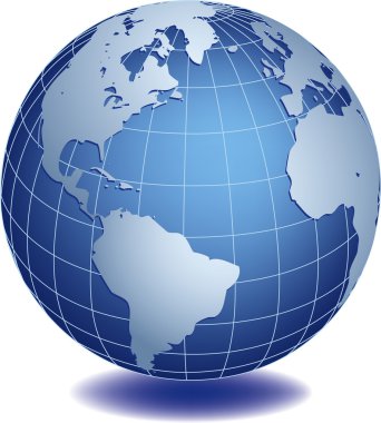
Vector illustration of world globe
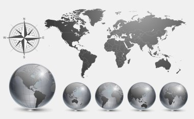
Globes with world map vector.

Canada detailed map and icons.Grey and blue. D.I.Y.infographic set.All elements are separated in editable layers clearly labeled.

Canada Detailed Map With It's States And Icons. D.I.Y.infographic set. All elements are separated in editable layers clearly labeled.

Simple World globe. Vector illustration EPS 8..

Canada detailed outline map and icons. D.I.Y.infographic set. All elements are separated in editable layers clearly labeled.
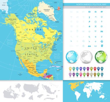
North America detailed political map. D.I.Y.infographic set.All elements are separated in editable layers clearly labeled. All layers are subscribed.

Canada Detailed Map Retro Colors With It's States and Flat Icons. D.I.Y.infographic set. All elements are separated in editable layers clearly labeled.

North America blind map navigation set. D.I.Y.infographic set.All elements are separated in editable layers clearly labeled. All layers are subscribed.

Environment background with globe icon

North America map. Retro Colors. D.I.Y.infographic set.All elements are separated in editable layers clearly labeled. All layers are subscribed.

North America map with navigation icons. D.I.Y.infographic set.All elements are separated in editable layers clearly labeled. All layers are subscribed.

North America detailed political map with a 3D square icons. D.I.Y.infographic set.All elements are separated in editable layers clearly labeled. All layers are subscribed.

Travel, services and international business management concept with a globe and international flags of the world vector EPS 10 illustration isolated on white background.

Abstract illustration with swirl globe, vecto illustartion.

Set of the political Canada maps, markers and symbols for infographic

Earth globe revolved in four different stages. Vector illustration

Earth globe revolved in four different stages. Vector illustration

Beautiful blue 3d globe. America, Canada, Alaska and Atlantic view.

Set of high detailed vector globes. Vector illustration.

Earth globe revolved in four different stages with shadow. Vector illustration

Globe set with with borders of world countries. Easy to select every country and delete contour of borders. Vector illustration

The map was traced manually using the pen tool for maximum detail. The base map is from NASA. All elements are on individual layers in the vector file for easy use.

North and South America Global World

World map with Earth globes in white background (part of full set) , vector illustration

The base map is from NASA and Hand Drawn using the pen tool for maximum detail

All flags in globe form, vector illustration

Abstract globe with red maple leaf inside

Canada on globe icon

Map of North America

Grey Map of North America (USA, Canada and Mexico) on White Background With National and Federal State Borders

Canada round sign. Futuristic satelite view of the world centered to Canada. Country badge with map, round text and binary background. Authentic vector illustration.

Map of North America

Simple map of Canada vector drawing. Mercator projection. Filled and outline version.

Canada map on a world map with flag and map pointer. Vector illustration

Map of North Ameraca

Vector map of North and Central America Continent with Countries, Capitals, Main Cities and Seas and islands names in classic soft colors.

Grey Map of North America (USA and Canada) on White Background With National and Federal State Borders

Map of North Ameraca

Blue Map of North America (USA, Canada and Mexico) on White Background With National and Federal State Borders

Dotted Map of Canada. Vector eps10

Map of North America

Brown Map of North America (USA, Canada and Mexico) on White Background With National and Federal State Borders

Canada map icon, vector illustration

Blue Map of North America (USA and Canada) on White Background With National and Federal State Borders

Vector illustration of North America map with grey countries and white borders

World map with the name of countries and continents. Vector illustration.

Canada sign. Round country logo with flag of Canada. Vector illustration.

All countries map of America

All flags of the world in alphabetical order and Detailed world map with borders, countries, large cities

White vector map of Canada with black borders and names of it's provinces and territories

Green Map of North America (USA and Canada) on White Background With National and Federal State Borders

Vector map of North and Central America Continent with Countries, Capitals, Main Cities and Seas and islands names in strong brilliant colors.

USA and Canada large detailed political map and colorful map pointers

Red Map of North America (USA and Canada) on White Background With National Country Borders

All flags Globe vector Illustration, part of full set, more flags set, earth globe with world map vector in my portfolio)

USA and Canada large detailed political map in colors of blue and map pointers

Orange Map of North America (USA and Canada) on White Background With National and Federal State Borders

Pastel vector map of Canada with black borders and names of it's provinces and territories
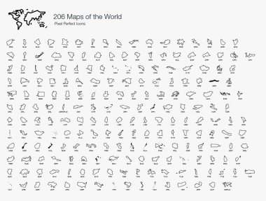
A complete set of the world map isolated by countries and nations.

Map of North and South America. Flags of the Americas

Canada Map vector illustration simple design

Map of America vector illustration, scribble sketch America

Black World Map and navigation icons isolated on white. Highly detailed map illustration with countries, cities and navigation symbols.

North America map. Monochrome North America icon. Vector

White vector map of Canada with black borders of it's provinces and territories

Canada Map Teal Colors. Regions and provinces. Highly detailed vector illustration.
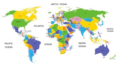
Colorful World map countries. High detail political map with country names. Vector illustration

Canada Map vector illustration simple design

Political World Map Pacific Centered - vector

Canada infographic map and flag - vector illustration

Vintage Political World Map Pacific Centered - Info Graphic vector

Political World Map Pacific Centered - vector

World Map Color - Asia in Center- vector

Vintage Political World Map Pacific Centered - vector

Red grunge continent America logo on a white background. Vector illustration

A globe of the world featuring the boreal forest

Map of America vector illustration, scribble sketch America