Map of Commonwealth of Kentucky designed in illustration with the counties and the county seats

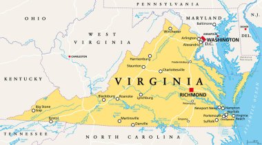
Virginia, VA, political map. Commonwealth of Virginia. State in Southeastern and Mid-Atlantic region of the United States. Capital Richmond. Old Dominion. Mother of Presidents. Illustration. Vector.

Lincoln County (Kentucky) blank outline map set

Flag of Kentucky State, USA. Vector Format

Frankfort Kentucky with best quality design

The seal of the Commonwealth of Kentuck, two men shaking hands facing each other with state motto UNITED WE STAND, DIVIDED WE FLL, vintage line drawing or engraving illustration

Commonwealth of Kentucky - vector map

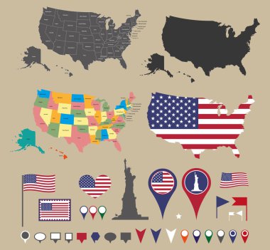
Usa map set and national symbolic

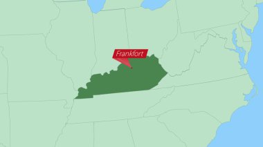
Map of Kentucky with pin of country capital.

Kentucky Map Pin with National Flag on Open World Map.

Kentucky, KY, political map with capital Frankfort and largest cities. Commonwealth of Kentucky. State in the Southeastern region of the United States of America. Bluegrass State. Illustration. Vector