
Connecticut CT State Border USA Map Outline

Connecticut blank outline map set

Connecticut icon. Round logo with us state map and title. Stylish Connecticut badge with map. Vector illustration.

Northeast, census region of the United States of America, gray political map of census region 1, consisting of 9 single states. Map with geographical borders and capitals. Isolated illustration.
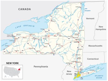
Road map of the US American State of New York

The outline of New York state

Connecticut Map on American Flag. CT, USA State Map on US Flag. EPS Vector Graphic Clipart Icon
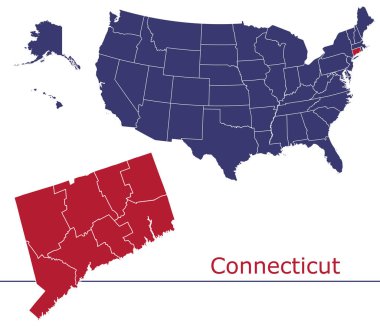
Connecticut counties vector map with USA map colors national flag
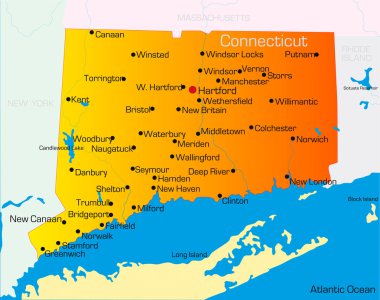
Vector color map of Connecticut state. Usa

Connecticut US Map. CT USA State Map. Black and White Connecticutian State Border Boundary Line Outline Geography Territory Shape Vector Illustration EPS Clipart
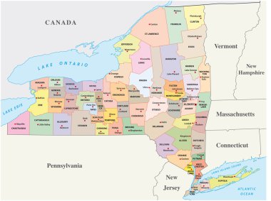
New york administrative and political map
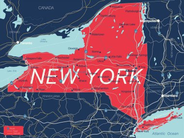
New York state detailed editable map with cities and towns, geographic sites, roads, railways, interstates and U.S. highways. Vector EPS-10 file, trending color scheme

United States of America Map

United States of America Map

Northeast, U.S. census region, multi colored political map. Census region 1 of the United States, consisting of 9 single states. Colored silhouettes of single states with borders and their capitals.

Connecticut state map contour. In style of USA flag.

Connecticut black silhouette vector map. Editable high quality illustration of the American state of Connecticut simple map