
Connecticut map vector design templates isolated on white background

Shiny icon in form of Connecticut state, USA - vector illustration

Connecticut state map flat icon with long shadow EPS 10 vector illustration.

A large and detailed map of the State of Connecticut with all counties and county seats.
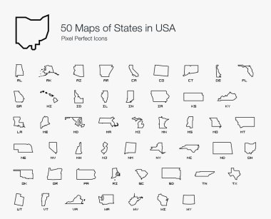
All 50 USA States Map Pixel Perfect Icons (Line Style). Vector icons of the complete United States of America states map.
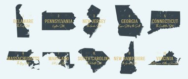
Set 1 of 5 Highly detailed vector silhouettes of USA state maps with names and territory nicknames

Massachusetts, Connecticut, Rhode Island retro state facts Illustrations

Connecticut, state of USA - solid black silhouette map of country area. Simple flat vector illustration.

Connecticut CT State Border USA Map Outline

Connecticut map. Blank vector map of the Us State with counties. Borders of Connecticut for your infographic. Vector illustration.
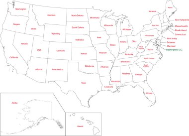
Outline USA map with states
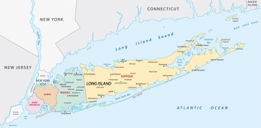
Map of of long Iceland in new york state

Blue map of Connecticut with indication of Hartford

Abstract image Connecticut map from point blue and glowing stars on a dark background. vector illustration.

Connecticut blank outline map set

The Connecticut State grayscale map and its counties with labels

Black map of Connecticut

All 50 USA States Map Pixel Perfect Icons (Line Style Shadow Edition). Vector icons of the complete United States of America states map.

Connecticut black silhouette vector map. Editable high quality illustration of the American state of Connecticut simple map

Connecticut icon. Round logo with us state map and title. Stylish Connecticut badge with map. Vector illustration.

The gray map of Connecticut State counties isolated on white background

Empty vector map of Shreveport, Louisiana, USA, printable road map created in classic web colors for infographic backgrounds.

Connecticut geometric polygonal maps, mosaic style us state collection. Breathtaking low poly style, modern design. Connecticut polygonal maps for infographics or presentation.

Connecticut State map with US flag inside and Map pointer with American flag
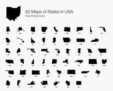
All 50 USA States Map Pixel Perfect Icons (Filled Style). Vector icons of the complete United States of America states map.

Highly detailed vector silhouettes of US state maps, Division United States into counties, political and geographic subdivisions of a states, New England - Connecticut, Massachusetts, Rhode Island - set 2 of 17
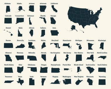
Outline map of the United States of America. 50 States of the USA. US map with state borders. Silhouette of the USA. Vector illustration.

A large and detailed map of the USA with every single county.

US State Maps with flag collection, nine USA map contour with flag of Alabama, Alaska, Arizona, Arkansas, California, Colorado, Connecticut, Delaware, Florida

Set of vector polygonal Connecticut maps. Bright gradient map of the US state in low poly style. Multicolored Connecticut map in geometric style for your infographics.

State map. USA silhouette in flat style. Vector isolated outline illusrtation
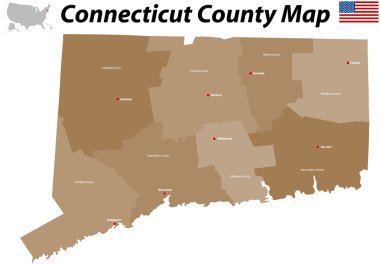
A large, detailed map of the State of Connecticut with all counties and big cities.

USA America Map States border isolated on white background. Vector illustration
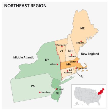
Administrative vector map of the US Census Region Northeast

New england states administrative map

Highly detailed physical map of the US state of Connecticut
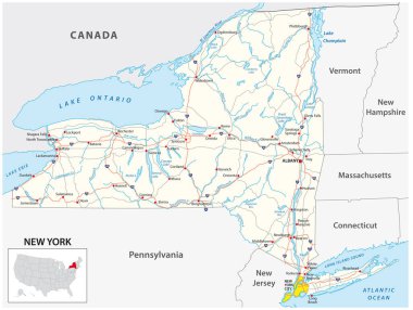
Road map of the US American State of New York
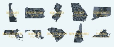
Set 1 of 5 Division United States into counties, political and geographic subdivisions of a states, Highly detailed vector maps with names and territory nicknames

Outline maps of USA states collection, black lined vector map.

Connecticut map. Poster with map of the us state in retro color palette. Shape of Connecticut with sunburst rays background. Vector illustration.
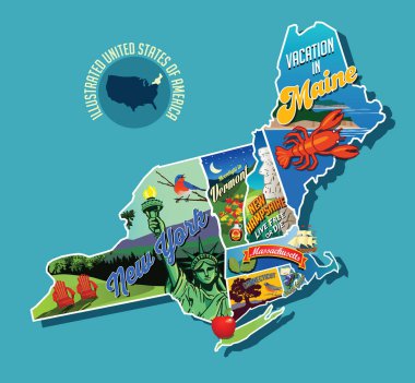
Illustrated pictorial map of Northeast United States. Includes Maine, New Hampshire, Vermont, Massachusetts, Connecticut, Rhode Island and New York. Vector Illustration.

Map of the United States of America, with borders and state names, Detailed vector illustration
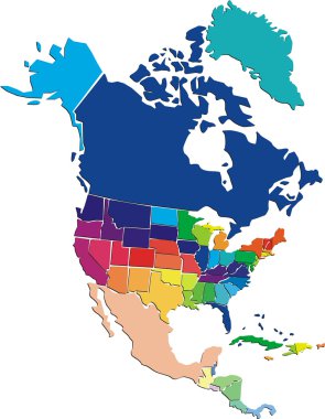
Vector colorful North America map

The outline of New York state

State map outline of Connecticut over a white background with flag inset

5 of 50 sets, US State Posters with name and Information in 3 Design Styles, Detailed vector art print Connecticut map

Connecticut Map on American Flag. CT, USA State Map on US Flag. EPS Vector Graphic Clipart Icon

Connecticut sunburst badge. The us state sign with map of Connecticut with American flag. Colorful rays around the logo. Vector illustration.

United States of America Vector Map. USA Map vector illustration. Regions Map with cities and communications from Boston.

Bridgeport USA City Map in Retro Style. Outline Map. Vector Illustration.

Empty vector map of Shreveport, Louisiana, USA, printable road map created in classic web colors for infographic backgrounds.

United States of America Vector Map. USA Map vector illustration. Regions Map.

United States of America Vector Map. USA Map vector illustration. Regions Map with cities.

Map of the USA. Image with clipping path and name of states. State mark. Connecticut. Vector illustration.

United States of America Vector Map. Map with cities.

Connecticut contour map, America

Map of the greater st. louis area in illinois and missouri usa

Connecticut vector map silhouette. High detailed illustration. United state of America country .

Blue abstract outline of Connecticut map

Rhode island county and city vector map with flag

Map of the U.S. state of Connecticut

Shiny vector stickers in form of Connecticut state, USA
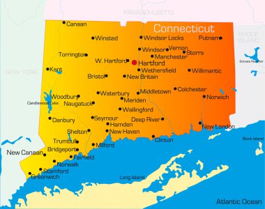
Vector color map of Connecticut state. Usa
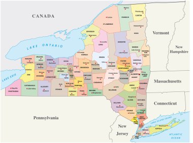
New york administrative and political map
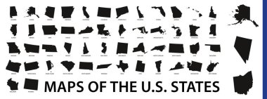
Collection of outline shape of US states map in black. Vector flat design.
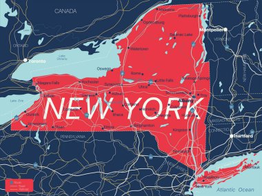
New York state detailed editable map with cities and towns, geographic sites, roads, railways, interstates and U.S. highways. Vector EPS-10 file, trending color scheme

Vector map of the East Coast, United States

Map of the U.S. state of Connecticut

Set of 3D images of the State of Connecticut with icons.

Connecticut US Map. CT USA State Map. Black and White Connecticutian State Border Boundary Line Outline Geography Territory Shape Vector Illustration EPS Clipart

Vector contour Map of Connecticut State with title. Map of Connecticut State is isolated on a white background. Simple flat dotted geographic map template.

State map outline of Connecticut over a white background

Map of the U.S. state of Connecticut

Delaware, Connecticut, travel stickers with scenic attractions and retro text on vintage suitcase background

All 50 USA States Map Pixel Perfect Icons (Filled Style Shadow Edition). Vector icons of the complete United States of America states map.

Map of the U.S. state of Connecticut

Simple black vector map of the Federal State of Connecticut, USA

Map of the U.S. state of Connecticut

Map of the U.S. state of Connecticut on a white background

Official current vector great seal of the Federal State of Connecticut, USA

Connecticut State in the United States map vector

Continuous line drawing of Connecticut home sign

Vector illustration of vintage sticker in form of Connecticut state, USA

Dotted map of the State Connecticut. The form with black points on light background. Vector illustration.

Silhouette map of a selection of the states of America

Connecticut USA state map vector tag cloud illustration

A Set of Infographic Elements for the State of Connecticut

Connecticut State Map Creative Vector Typography Lettering Composition with flowers. Design Concept

Vermont - U.S. state. Contour line in white and black color on two face background. Map of The United States of America. Vector illustration

Connecticut state map contour. In style of USA flag.

Outline Maps of US State with a Highlighted United States World Map.
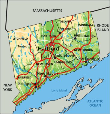
High detailed Connecticut physical map with labeling.

Connecticut state silhouette. USA map icon set in outline, red fill, dotted and black variants. Regional border sign. Northeastern location symbol. American New England pictogram. Map illustration.

County map of the US American state of New York

New Jersey - U.S. state. Contour line in white and black color on two face background. Map of The United States of America. Vector illustration